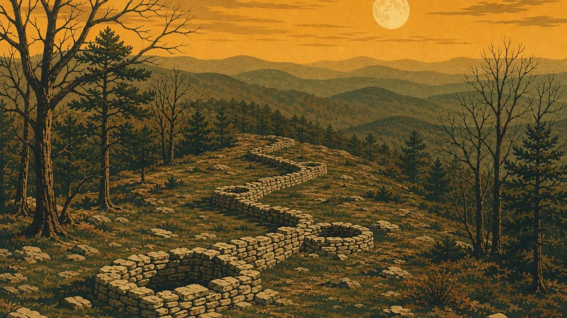
In September 1923, The Atlanta Constitution passed along a New York Times feature about a mountain in Murray County, Georgia, and one line in it is a beauty. "In fact, only two men are known ever to have gone to the summit." One was a judge from Spring Place. The other was T. G. Jordan, an amateur archaeologist from Cleveland, Tennessee, and on top, the story said, they found a remarkable stone wall. An expedition was being fitted out in Chattanooga to dig up relics of an unknown race.
You can poke holes in that from the same page. Further down, it mentions a silver-mine excitement that had prospectors thoroughly exploring the country nearby. Jordan also reported that the mountain was "almost above the timberline," which is a lovely thing to say about a Georgia peak under 3,000 feet with oaks and hickories on it. And the wall was hardly news. George White had described it in his books on Georgia in 1849 and 1854, as "the remains of an ancient fort, but when and for what purpose constructed, we are unable to say."
We couldn't find out what the Chattanooga expedition turned up. White's sentence, on the other hand, is still in pretty good shape.
Bring your own tape measure
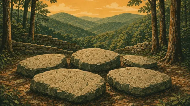
Everybody agrees on this much. Near the crest of Fort Mountain, at the southwestern end of the Cohuttas, a wall of local stone zigzags along the ridge, stacked without mortar, with stone-lined pits built into it. The mountain is named for the wall.
The agreement pretty much stops there. Georgia State Parks says the wall is 855 feet long. A plaque on the mountain, as the county museum transcribes it, says 885. Its National Register file, prepared in 1976, says 928. Jordan said he measured the longest portion at 1,700 feet and guessed it enclosed about 100 acres, but Jordan also thought he was near the timberline. The state's map has it two to six feet tall, and the federal file says three to ten. The file blames the slope it follows. The pits number 19, 29 or 30. Even the mountain won't hold still: 2,832 feet on that plaque, 2,840 in the file, 2,850 from the state.
Some of that is honest. The thing is a ruin, and it has had a rough few centuries. The state's trail map says archaeologists believe it was much higher "before exploration and plunder by previous scientists and treasure hunters," which is a nice way of filing scientists and treasure hunters under the same heading. There really was gold around here. A map probably drawn in 1889 shows gold in and around the mountain, and the Cohutta Gold Mining Company sank shafts nearby about 1901. The search for gold may explain some of the pits, one 1985 magazine account suggests. Phillip Smith, who surveyed the site in 1955, questioned whether the bastions were authentic at all.
The typewriter salesman
The wall's great fan started out selling typewriters. Ivan Allen Sr., born in Dalton in 1876, sold a dozen of them there before moving to Atlanta in 1895, where he built an office supply company and became a civic leader. As a boy in Dalton, according to the National Register file, he heard a schoolteacher describe the mountain and its mysterious fort. It stuck. When the land came up for sale in 1926, he bought it sight unseen.
His son, Ivan Jr., a teenager then and later the mayor of Atlanta, told the file's author in 1976 about that first visit: they drove to Winkler's Mill and climbed a little-used foot path up the east side of the mountain. On a later trip, the file says, Mr. Allen and his college roommate tried to clean out a spring near the top and came down with severe cases of poison oak. In context that's the son, and it's the most relatable thing anyone has ever done on this mountain.
The father had plans, at least at first. The Georgia Encyclopedia says he considered a resort, and the Murray County Museum says he hoped to build a hotel near the fort. He changed his mind. He was a member of the Society for Georgia Archaeology, and he made several trips to Spain to look in the national archives for accounts that might connect a Spanish expedition to these mountains. The file doesn't say he found one.
Then he gave it away, and here the dates get as slippery as the measurements. The Chatsworth Times reported on February 14, 1929, that the State Forestry Department had decided to accept the gift. The plaque says 1934. The National Register file says 1936, and the state's park history says the park officially opened that year. That same 1929 story says he bought the mountain "a year or so ago," which is not 1926. The acreage wanders too: more than 600 in the 1929 story, 219 by the museum's count.
The 1929 story also holds our favorite detail. Allen had conditions. The steep path was to stay the only route to the summit and "must not be improved," so that "only those who are genuinely interested in the wild and in nature's beauties will make their way to the top." By the end of 1935, says the museum, the road across the mountain was done and a stone tower stood on top. The state's current trail map shows parking at the Old Fort Picnic Area, right by the trails. We couldn't find out who told him.
Everybody but the neighbors
The 1889 map labels the wall "Old fort supposed to have been built by DeSoto." That one has more going for it than most legends, in one narrow way. According to the New Georgia Encyclopedia, De Soto's army reached the main town of the chiefdom of Coosa on July 16, 1540, and didn't leave until August 20. That town is now under Carters Lake, roughly 10 miles south of the park. So he was in the neighborhood for about five weeks, and that's all the legend has. Even the 1923 story wasn't buying it: "Who built this stone wall? DeSoto did not."
The state's trail map also lists wandering Welsh explorers, and says Prince Madoc has been credited with "several stone petroglyphs" in the Southeast after supposedly sailing into Alabama. Our park guide already files that under legend. The map itself says no artifacts have been found to support these theories.
Then there are the Moon-eyed people. Georgia's park history says that according to Cherokee lore the wall was built by them, a small, light-skinned people who saw better at night and were driven out by the Cherokee, and it adds a fair caveat: "if they existed at all." We'd be careful about how much of that is Cherokee and how much is the people writing it down. An early written version comes from Benjamin Smith Barton, a Philadelphia doctor, in 1797, repeating what a Colonel Leonard Marbury told him: that the Cherokee found the country held by "moon-eyed-people," who could not see in the daytime, and expelled them. It doesn't mention a wall. Barton then guessed they might be ancestors of Albinos on the Isthmus of Darien, in Panama, which tells you how firm the ground was. By 1923 the newspaper version was a vanished race of high civilization. The same article has Cherokee people telling settlers they simply didn't know who built it, and that it was there when they came. The 1929 story mentions a theory that the Cherokee built it themselves, based on pottery and weapons found in the ruins, though the digs we get to below found next to nothing of the kind. After the Cherokee were driven from Georgia in 1838 and 1839, the settlers repeating these stories had far fewer Cherokee neighbors to check them with.
It took a long time for early Native people to get a serious hearing on this mountain. "The pioneers simply couldn't believe Indians could have built the elaborate stone walls on mountaintops across the South," The Mountain Laurel wrote in 1985. Old Stone Fort in Manchester, Tennessee, a much larger enclosure, got the same treatment. Tennessee's state archaeology office lists the suggested builders as Spanish explorers, ancient giants, Norse, Welsh, Romans and the Lost Tribe of Israel, among others. Georgia is still at it, as the supposed Maya of Track Rock Gap can tell you.
The people with shovels
Warren Moorehead, whose Etowah Papers came out in 1932, visited in 1925 and made many test pits. He found one projectile point. The Mountain Laurel says he drew no conclusions but speculated about ceremonial use, since the walls were low, blocked only one side of the mountain and sat a long way from water. It puts the nearest spring almost a quarter mile off. Ivan Allen Jr. remembered one about 100 feet below the top, and Jordan described a good-sized spring walled up with cut stone. The file allows that Allen's may have disappeared. So the water is disputed too.
Phillip Smith went at the wall itself. He excavated about two meters of it and a small part of one pit, and found the wall laid on an outcrop and the pit on thin soil over bedrock. The file's summary is short: "No artifacts or any other diagnostic feature were found." In his 1962 report he wrote that it is "easier to say what this wall is not" than what it is, and then offered the nearest thing to a theory:
"There is a suspicion - and it is no more than that yet - that the stone walls which are found in the Southern Appalachians and Piedmont regions of the South may be related in some way to the stone mounds and stone effigies which occur in the same areas."
That's a careful man. The file notes that these structures often sit on the narrow approach to an overlook or an impressive geological feature, and it calls this one "more of a marker than a fortification," a divider between the north peak and the southern end. The state's map says this part of the mountains offers 80-mile views. The estimates of its age are soft. Georgia's park history gives 500 to 1500 CE, a thousand-year shrug, while the trail map calls around 500 A.D. one of the more realistic ideas, and you'll also see the Middle Woodland period suggested, including in our own guide. The file itself says several of Georgia's linear stone structures "have been recorded but not dated."
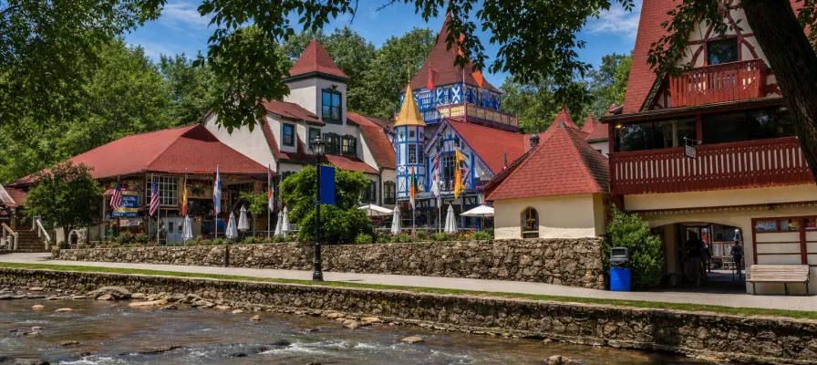
Its possible relatives give better clues than the wall does. Old Stone Fort has radiocarbon dates from the first to the fifth century A.D., and Tennessee now describes it as a Native American ritual enclosure, with no evidence for the defensive idea. About 45 miles from Fort Mountain, at the Tunacunnhee site in Dade County, stone mounds held copper ear spools and panpipes and gave a date of A.D. 150. And there are more of these around than you'd guess. The file's partial list of Georgia stone structures includes a low stone oval on Alec Mountain in Habersham County, right next door to Helen's White County. On Ladd's Mountain in Bartow County, an oval enclosure with three stone-lined pits built into it was destroyed for road construction in the late 1930s.
In 1976 the file's author asked for a comprehensive survey of all of it. We didn't find a newer excavation of the Fort Mountain wall, though we're tourism writers, not the state site file, so we'd love to be corrected.
The stonework with paperwork
The tower is another matter. The Civilian Conservation Corps put up a four-story stone fire tower at the top of the mountain in the 1930s, with a view good enough to spot fires up to 40 miles off. The park history says the work was led by a local stone mason, Arnold Bailey, who carved a large stone heart into it to impress his sweetheart, Margaret. They were married in 1935, the same year the museum says the tower was finished, and they stayed married for 59 years, until he died in 1994.
A metal tower on an adjacent peak took over the job in the 1960s. The stone tower's wooden cupola burned in 1971, and the shell sat in disrepair until the state started restoring it in 2014. That work won a Georgia Trust preservation award in 2016. The heart is still in there. By the map's count, the loop past it is 0.9 miles and takes about an hour, with stone steps on the east side.