The Indigenous Heritage of the Nacoochee Valley: A Comprehensive History of Cherokee Habitation, Displacement, and Legacy in Helen, Georgia
Your guide to the indigenous heritage of the nacoochee valley: a comprehensive history of cherokee habitation, displacement, and legacy in helen, georgia in Helen, Georgia and the Blue Ridge Mountains
Ancient Origins: While often associated with the Cherokee, the Nacoochee Indian Mound was constructed by the South Appalachian Mississippian culture (Lamar Phase) between 1350 and 1600 CE, predating the Cherokee consolidation of power in the region. The Cherokee later utilized the site for ceremonial purposes.
Strategic Settlements: The Nacoochee Valley sat at a crossroads of trade and culture, home to the Cherokee towns of Nacoochee and Chota (Itsati). Both towns were important stops along the Unicoi Turnpike, the major trading path connecting the Savannah River to Tennessee.
The Gold Rush Catalyst: The 1828 discovery of gold on Duke's Creek in the Nacoochee Valley - predating the famous Dahlonega strike - ignited the "Great Intrusion," accelerating state and federal efforts to extinguish Cherokee land titles. Today, the Cherokee Nation continues to preserve and advocate for the heritage of the Cherokee people.
Key Points
Ancient Origins: While often associated with the Cherokee, the Nacoochee Indian Mound was constructed by the South Appalachian Mississippian culture (Lamar Phase) between 1350 and 1600 CE, predating the Cherokee consolidation of power in the region. The Cherokee later utilized the site for ceremonial purposes.
Strategic Settlements: The Nacoochee Valley sat at a crossroads of trade and culture, home to the Cherokee towns of Nacoochee and Chota (Itsati). Both towns were important stops along the Unicoi Turnpike, the major trading path connecting the Savannah River to Tennessee.
The Gold Rush Catalyst: The 1828 discovery of gold on Duke’s Creek in the Nacoochee Valley - predating the famous Dahlonega strike - ignited the "Great Intrusion," accelerating state and federal efforts to extinguish Cherokee land titles.
Removal and Resistance: The region was a staging ground for the forced removal of 1838. The Unicoi Turnpike, once a conduit for commerce, became a route of deportation during the Trail of Tears.
Myth vs. History: The popular "Romeo and Juliet" legend of Sautee and Nacoochee is a 19th-century invention with no basis in Cherokee oral tradition or archaeological evidence, yet it remains a dominant cultural narrative in the local tourism industry.
Introduction
The land around modern-day Helen, Georgia - the Nacoochee and Sautee Valleys in particular - holds some of the most important indigenous cultural history in the Southeastern United States. Long before anyone thought to put Bavarian storefronts on Main Street, this region was a center of life for indigenous peoples: a hub for farming, trade, and ceremony. The Cherokee story here is not a simple one. It covers centuries of succession, adaptation, economic disruption, and forced displacement. The Eastern Band of Cherokee Indians, descended from those who avoided removal, maintains a vibrant cultural presence in the nearby southern Appalachians.
These valleys were a borderland between the Lower Creek and Cherokee Nations, and by the 18th century they had become a Cherokee stronghold. The Nacoochee Indian Mound still dominates the landscape today, a visible reminder of the Mississippian societies that preceded the historic tribes European explorers would encounter. What follows traces the history of this area through the archaeological record, the Cherokee towns of Nacoochee and Chota, the devastation of the Georgia Gold Rush, and the indigenous place names that still mark the modern map.
The Nacoochee Indian Mound: Archaeology and Architecture
Origins and Mississippian Construction
The most prominent indigenous structure in the Helen area is the Nacoochee Indian Mound (Smithsonian trinomial 9WH3), situated on the banks of the Chattahoochee River. Contrary to persistent local signage identifying it as solely Cherokee, archaeological consensus establishes that the mound was constructed by peoples of the South Appalachian Mississippian culture, specifically during the Lamar Phase (1350–1600 CE).
The mound originally served as a platform for a townhouse or ceremonial structure, where a sacred fire would have been maintained. The site was the center of a larger village complex; excavations have revealed evidence of settlements in the flatlands both east and west of the mound. The presence of stone box graves, a hallmark of the Mississippian culture, was reported in the 1870s by Captain John H. Nichols, a former owner of the property.
The 1915 Heye Foundation Excavation
What we know about the mound took a major step forward in 1915, when a joint expedition arrived from the Museum of the American Indian, the Heye Foundation, and the Bureau of American Ethnology of the Smithsonian Institution. Led by archaeologists Frederick Webb Hodge and George H. Pepper, this excavation was one of the earliest professional archaeological inquiries in Georgia.
The excavation uncovered 75 human burials within the mound. The stratification of these burials indicated use over an extended period. Approximately one-third of the interments contained "high-status items," suggesting a stratified society with a distinct elite class. Artifacts recovered included:
Copper: Hammered copper celts and sheet ornaments.
Ceramics: Effigy vases and elaborate pottery characteristic of the Etowah and Lamar cultures.
Marine Shells: Conch shell beads and cups, indicating long-distance trade networks extending to the coast.
The upper layers of the mound told a different story: burials from the 17th century, identified by European trade goods like glass beads and sheet brass. This confirms that even though the mound was built by Mississippian peoples, the site stayed in use well into the contact period, most likely by the ancestors of the historic Cherokee or Creek peoples.
The Gazebo and Modern Preservation
The mound's current appearance, characterized by a white gazebo on its summit, is a result of 19th-century European-American modification. In 1890, Captain John H. Nichols shaved approximately two feet off the mound's original 16-foot height to create a level platform for the gazebo. While this alteration damaged the upper archaeological context, the structure has become an iconic landmark. The site is currently part of the Hardman Farm State Historic Site and was placed on the National Register of Historic Places in 1980 as part of the Sautee Valley Historic District.
Cherokee Settlements: Chota, Nacoochee, and Trade
The Town of Chota (Itsati)
Historical records identify two primary Cherokee settlements in the valley: Nacoochee and Chota (often spelled Echota or Itsati). The relationship between these towns and the archaeological record is complex. The town of Chota in the Nacoochee Valley - distinct from the Overhill Cherokee capital of Chota in Tennessee - was likely located near the mound.
Linguistic analysis suggests "Chota" may be derived from the Creek word Itsati (meaning "Itza People" or related to the Hitchiti tribe), reflecting the area's history as a contested borderland between the Creek and Cherokee nations. By the time of the Colonel George Chicken expedition in 1715–1716, Chota was a noted Cherokee town. Francis Varnod’s 1721 census enumerated Chota's population at 221 inhabitants, consisting of 59 men, 97 women, and 65 children.
The Town of Nacoochee
Located to the east of Chota, Nacoochee (Cherokee: Nagutsi) was another significant settlement. The 1721 Varnod census listed Nacoochee with a population of 90 individuals, noting a disparity in gender ratios (11 women and 7 children) that suggests the town may have recently suffered from a Creek raid or disease outbreak. The name "Nacoochee" appears in a 1734 land grant between Great Britain and the Cherokee, confirming its status as recognized Cherokee territory.
De Soto and the Legend of Gauxule
Historical markers at the Nacoochee Mound claim it is the site of the ancient town of Gauxule, visited by Hernando de Soto in 1540 during his expedition across the Southeast. De Soto’s chronicles describe Gauxule as a town where the chief lived on a mound. While this aligns with the physical description of the Nacoochee Mound, modern scholarship remains divided on the exact route. A study by Southeastern university professors in the 1980s suggested De Soto’s path may have been further north, though the claim remains a prominent part of local historiography.
The Unicoi Turnpike
The economic vitality of the Nacoochee Valley was driven by the Unicoi Turnpike, a trade route that evolved from a pre-contact footpath used for over 1,000 years. In 1813, the Cherokee Nation granted a charter for this path to be developed into a toll road, connecting the head of navigation on the Savannah River to East Tennessee.
The turnpike passed directly through the Nacoochee Valley, facilitating the movement of goods (primarily deerskins and furs) to Charleston and Savannah. The road dropped approximately 800 feet from Unicoi Gap into the valley, crossing the Chattahoochee River and Spoilcane Creek eleven times. This infrastructure solidified the valley's importance but also accelerated the influx of white settlers and commerce that would eventually undermine Cherokee sovereignty.
The Georgia Gold Rush and Dispossession
The 1828 Discovery at Duke's Creek
While Dahlonega is often cited as the center of the Georgia Gold Rush (today commemorated at the Dahlonega Gold Museum), the initial discovery that sparked the "Great Intrusion" occurred in the Nacoochee Valley area. In 1828, gold was discovered on Duke’s Creek (located in present-day White County, near Helen). Historical accounts vary regarding the specific discoverer; some attribute it to John Witheroods of North Carolina, while others credit an enslaved man owned by Major Frank Logan.
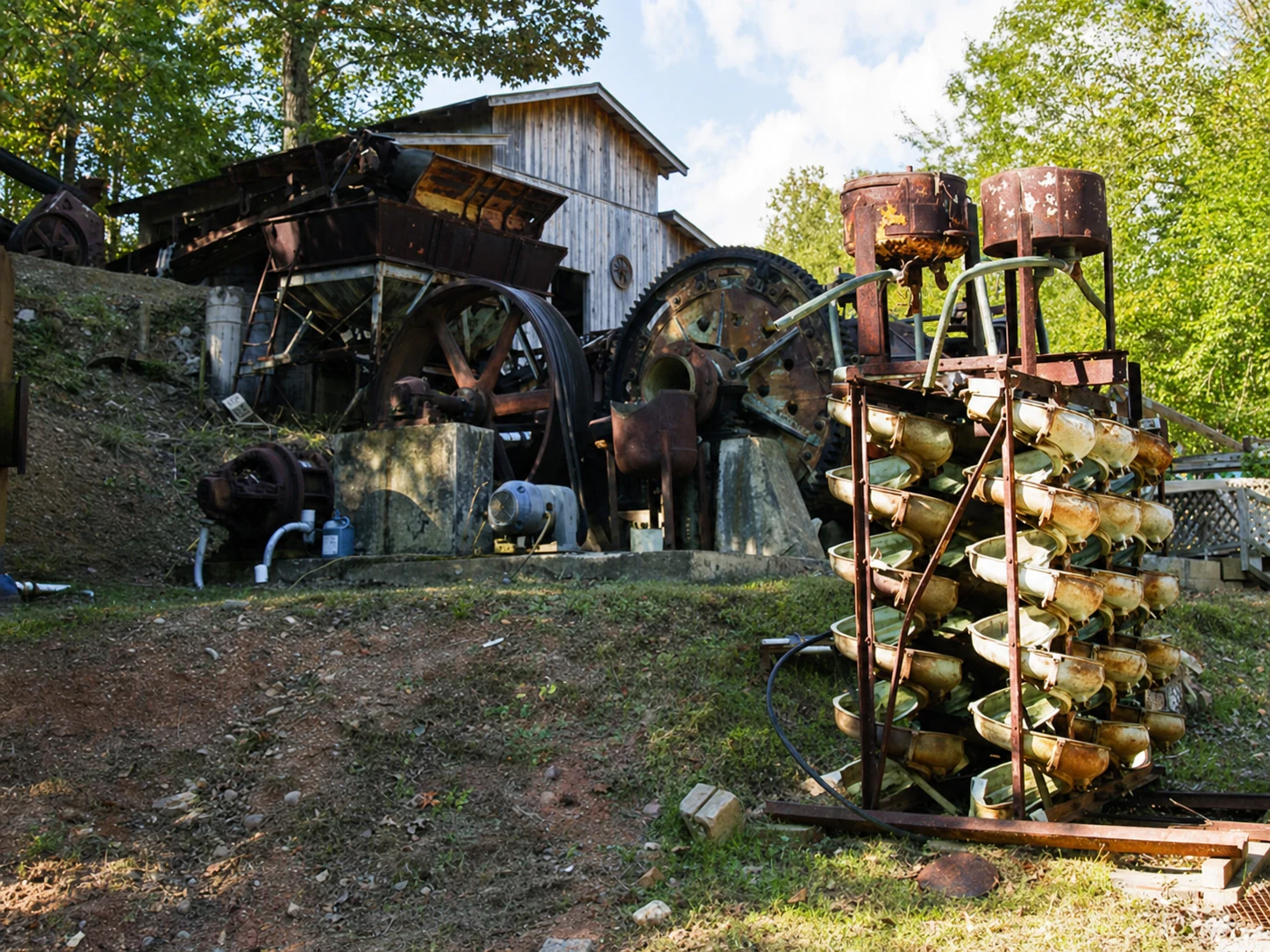
Related Imagery from Around Helen