Willie Blalock Elliot grew up in Burton, Georgia, with a waterfall for a refrigerator. It was across the road from her house, and her family kept food on the cool rocks behind it. On Sundays every family carried dinner to church in a homemade basket. When she sat for an interview in 1982, more than 60 years after the town went under, she said the people of Burton had a good life.
Her town is at the bottom of Lake Burton now. We'll get to the floating steeple, which may or may not have happened. First comes the paperwork, which definitely did.
A full day from Clayton
This valley was Cherokee land first. Georgia created Rabun County in 1819 from territory the Cherokees ceded, and the society itself calls that word "a polite term for a forced transaction." So the people in this story weren't the first to lose it.
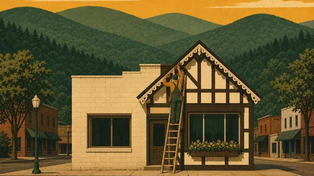
Scotch-Irish settlers founded the place in the early 1800s and called it Powellsville. It later took the name of Jeremiah Burton, a Baptist preacher who kept a general store. The town straddled the Tallulah River where Dick's and Timpson creeks came in, and it was a long way from anything. The trip to Clayton, 15 or so miles, took a full day by horse and wagon.
It was still somebody's idea of a big town. The Rabun County Historical Society calls it the largest in the county, while Wikipedia says second largest and puts the population near 200. Burton had Baptist and Methodist churches and two general stores, one with the post office in it, plus a sawmill, a gristmill and a syrup mill. In 1913 its school had two teachers, 60 students in seven grades, and about 100 books. Corn and tobacco grew in the river bottoms alongside fruit and walnut groves. Some people mined a little gold and some made moonshine. For fun there were gospel singing conventions, and we'd love to know how much overlap there was.
The town's pride was its bridge. The society's main article says it was steel, built in 1899 for $1,925, and that it was a prime place to meet. The society's own newsletter says iron, opened about 1902. Either way, people in Burton loved a bridge, and we'd like to see the invoice.
GhostTowns.com and Wikipedia both say a logging railway once ran into town to haul lumber to the mill in Helen, but Wikipedia lists GhostTowns.com among its sources, so that may be one claim told twice. The society's logging article doesn't mention a line into Burton. It does have a different outfit, Morse Brothers, pushing a narrow-gauge railroad north from Helen along the west side of the Tallulah and reaching Tate City in 1924. So rails from our town into that valley are solid, and a stop at Burton itself is the part we can't confirm.
The streetcar problem
The trouble started in Atlanta. Georgia Railway and Electric ran the city's streetcars, and its Chattahoochee River plant kept having low water and equipment failures. When it went down, according to the society, the streetcars "came to a screeching halt." So in 1909 utility executives looked into Tallulah Gorge and saw a solution. Helen Dortch Longstreet, widow of the Confederate general and no relation to our town, fought them in front of a Rabun County jury, lost in 1912, and lost again on appeal. The plant was finished in 1914, and the society ranks it third largest in the country at the time.
A plant that size wants steady water, and a mountain river doesn't deliver it on schedule. So Burton Dam wasn't originally built to make electricity at all. The society says it was planned as "a storage and flow-regulating facility" for the Tallulah Falls plant, about 20 miles downstream. The lake holds five billion cubic feet of water, which the society says was worth 55 million kilowatt-hours at Tallulah Falls. It was a battery with a town under it.
The man hired to buy a town
In 1917 the company hired J.E. Harvey of Tallulah Falls to acquire the entire town of Burton and much of the land around it. Sixty-five property owners eventually sold thousands of acres. The society's articles don't say what the families were paid, and we couldn't find a figure anywhere we trust.
Harvey's biggest single purchase comes in two versions that don't agree. In the society's, he contacted lumberman Andrew Gennett in 1917 about 1,000 acres near town and paid $40,000, then thought a fair price for the timber. He didn't mention that he was a land agent for the power company, or that this was the dam site. When Gennett found out, he reckoned the land was worth $150,000, and he considered the deal "one of the most humiliating experiences" of his business career. We don't know what Harvey told the 65 owners. The society doesn't say, though you'd wonder.
The other version is a 2018 post on the Forgotten Georgia blog, credited to Mike Maffett, who went on to write the lake's centennial history, Our Southern Eden. It says the site first came up over a golf game between Gennett and power company chief Henry Atkinson. Same $40,000, and a line it credits to Gennett's memoir, Sound Wormy: "I was very naive about its value. I could have gotten $150,000." A man talking it over with the company's boss on a golf course is hard to square with a man fooled by its agent. We haven't seen the memoir, so we can't settle it, and that quote is secondhand.
Don't cry for him either way. "It would be a mistake to feel sorry for Andrew Gennett," the society says. Sound wormy was the name for the bug-tunneled oak off his land, light and still strong, and Henry Ford bought it for the wooden wheels of his Model T and Model A.
The people living in the valley didn't get a golf game. Here's Willie Blalock Elliot again:
"I reckon my daddy was fairly well satisfied, but dozens of people never were. It just ruined their lives. They were never satisfied."
Some moved to higher ground in the same valley, and others went to Tiger or over to Habersham County. At least one man didn't sell. A Dr. Murray owned about 400 acres and agreed only to let the company back water up to his property line. Murray's Cove on Lake Burton still has his name on it.
What wasn't fit for nothing
Then the valley had to be emptied. Houses were torn down or moved, and the society says cemeteries were relocated to higher ground. We couldn't find a list of which graves went where, and Wikipedia's claim that a handful of cemeteries are all that's left carries a citation-needed tag. Bennie Eller, in a 1933 interview, described the work on the land itself:
"It took us about a year-and-a-half, cutting all the timber and clearing it off before they turned the water on to fill it up. What was fit for anything they took out for lumber, and what wasn't fit for nothing, they just rolled it in big log piles and burned it."
The dam was 128 feet high when it closed in December 1919. Wikipedia and GhostTowns.com both give the 22nd. By the following August the reservoir was full, with the society putting the old town under 65 feet of water.
The power company did build one thing for the neighbors. The main east-west road across this corner of Georgia crossed the river at what became the lake's north end, so the company ran a ferry while the lake filled and finished a one-lane bridge in 1921. Maffett's 2019 post says that bridge cost $100,000. The society's price for the one in town was $1,925.
The steeple
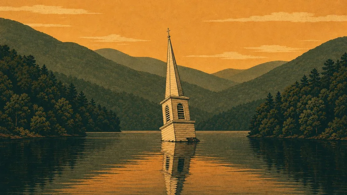
Here's everything the society says about it: "One story has it that a church steeple floated in the lake for a year before finding a landing spot on the shoreline." That's preceded by a line saying any buildings that hadn't been torn down washed down to the dam. Wikipedia's version makes it the Baptist church, says it floated for three years, and ends with it sinking. Our own older post on the legend tells the three-year version. Nobody kept a log.
Wikipedia also says the water rose so rapidly that the ruins couldn't all be removed. We have doubts. The lake took about eight months to fill after a year and a half of clearing, which is a lot of warning for a church. A wooden steeple would float, though, so we can't rule it out, and we'd honestly like it to be true. You'll also find versions online where the steeple pokes out at low water. The ones we tracked down came from horror-story sites, so we're leaving those there.
The bell is the same kind of story. "On a moonlit night on Lake Burton, some say you might hear the pealing of a church bell," the society writes, and "some say" is holding up that whole sentence. We'd file it with the steeple, and we'd still listen.
A photograph in the Digital Library of Georgia may be our favorite artifact from all this, and it's real. Dated about 1919 and labeled Lake Burton, it shows a man named Carl Smith standing in a ditch he dug. He planned to run water through it to wash out gold on Dick's Creek. We'd love to know whether anyone mentioned the water that was on its way.
Every kilowatt
The dam ran for eight years with no generators of its own. The powerhouse, which the society says was "considered of secondary importance," opened in 1927 with an output of 6,120 kilowatts, the second smallest of the six plants on the river chain. Then comes the sentence that would have made us furious: "Every kilowatt was transmitted to Atlanta."
The society says electricity didn't start coming to this area until the late 1930s, through the New Deal's Rural Electrification Administration, and another of its articles sums up the arrangement: "The streetcars ran in Atlanta but county residents continued to rely on kerosene and candles."
There's one good wrinkle, and the society supplies that too. Clayton had lights in 1914, the same year the Tallulah plant opened, because a mountain man from Tiger named Thomas E. Roane built a tiny hydro plant at a waterfall on Stekoa Creek. He had no college education. His poles and wire reached more than 50 businesses and homes. By July 1927 the Clayton Tribune reported he'd run short and tied in to the power company's lines at Lakemont, and he sold out to Georgia Power in 1928. So the county seat got electricity from a local man first and the big company later. Out in the country it took a good deal longer. The society says Rabun County wasn't fully electrified until the 1950s, some 30 years after the lake filled. Some of Burton's families had only moved uphill.
What's on top now
Lake Burton is 2,775 acres with 62 miles of shoreline, and the society describes "stately homes" along it. Wikipedia says about 70 percent of the homeowners lease their land from Georgia Power, so the company that bought the valley, under its newer name, is still the landlord. As of 2020, the society said, the Burton plant was still generating power with much of its original equipment.
Much of that shore is homes. If you want to sit beside the water, the place for it is Moccasin Creek State Park, which is open until 10 PM. That rules out most of the moonlit bell listening unless you're staying over. It has 53 campsites.