
Helen GA Waterfalls Loop
Three waterfalls, one scenic highway and a day of hiking, all within 20 minutes of Helen
The short answer
The loop at a glance
The falls around Helen are scattered along a few forest roads, but they chain together into one satisfying day. Start with Anna Ruby Falls when the gate opens, then loop back through Helen and head west on GA-348, the Richard B. Russell Scenic Highway, for Dukes Creek and Raven Cliff.
| Stop | Drive from Helen | Walk | Fee | Hours |
|---|---|---|---|---|
| Anna Ruby Falls | About 20 min (6 mi) | 0.4 mi each way, paved, some steep sections | $6 per person 16+; 15 and under free | 9 AM-6 PM, last ticket 5 PM |
| Dukes Creek Falls | About 15 min | 2.2 mi round trip; the climb back is the hard part | $4 per vehicle per day | Sunrise to sunset |
| Raven Cliff Falls | About 15 min | 2.6 mi each way; creek crossing | $5 per vehicle per day | Open year-round |
| Helton Creek Falls (optional) | About 50 min, toward Vogel | 0.2 mi, easy with abrupt grade changes | Free | Open year-round |
| Smithgall Woods (optional) | About 10 min | 1.6-mi Laurel Ridge loop | $10 ParkPass per vehicle | 7 AM to dark |
Fees are collected separately at each stop, and no single pass covers them. Anna Ruby takes its own admission, Dukes Creek and Raven Cliff are Forest Service sites, and Smithgall Woods uses the Georgia ParkPass ($10 per vehicle, $70 a year). Drive times are from downtown Helen without traffic; fall weekends run slower.
Stop 1: Anna Ruby Falls
About 20 minutes from Helen
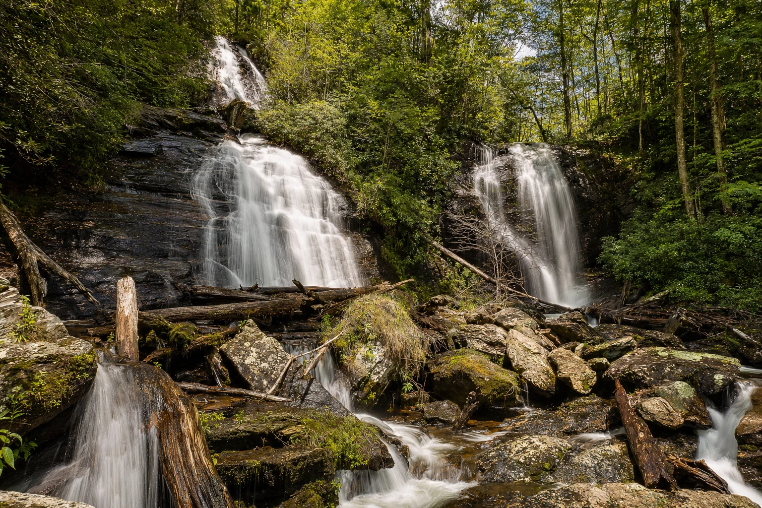
Two creeks drop side by side here: Curtis Creek falls about 153 feet and York Creek about 50. The paved trail is 0.4 mile each way, with benches and a few steep stretches, and it's not wheelchair accessible. The 0.1-mile Lion's Eye Trail at the same site is paved and accessible, with cable handrails and braille signs. Leashed dogs are welcome.
Admission is $6 for ages 16 and up, free for 15 and under, and it's 9 AM to 6 PM daily with the last ticket sold at 5. The site closes on Thanksgiving, Christmas Eve and Christmas Day. The Georgia ParkPass doesn't work here, and you drive through Unicoi State Park without paying Unicoi's fee. Give it 45 minutes to an hour, and arrive before 10 on fall weekends. Our Anna Ruby Falls guide has more. On Saturday, October 31, the site hosts Treats on the Trail.
Stop 2: Dukes Creek Falls
About 15 minutes from Helen
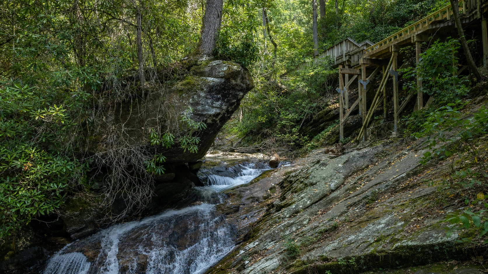
The Forest Service recreation area is at 1699 Richard Russell Highway (GA-348), and the hike is 2.2 miles round trip with views toward Mount Yonah along the way. The trail ends at the pool below the falls, which means the walk back is the climb. Parking is $4 per vehicle a day, paid by card, with the Recreation.gov scan-and-pay code, or with an America the Beautiful pass. It's open sunrise to sunset, day use only. Don't confuse it with Smithgall Woods, which shares the creek but is a separate park.
The drive: Richard B. Russell Scenic Highway
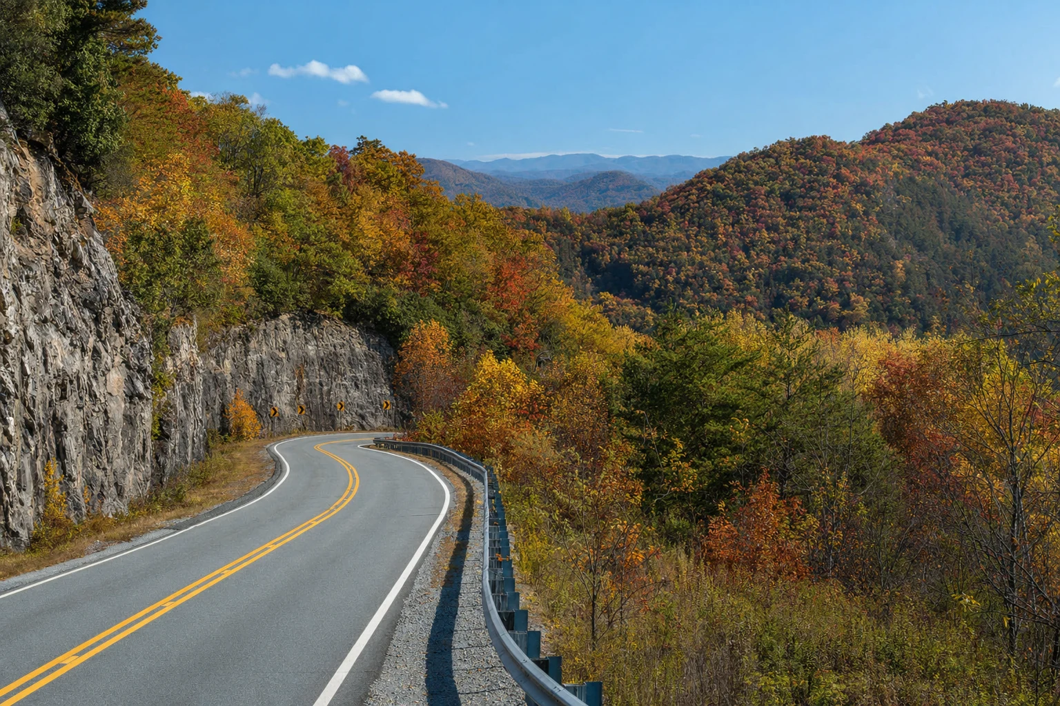
GA-348 is part of the Russell-Brasstown National Scenic Byway, a 40-mile loop on GA-348, GA-180 and GA-17/75 that the Forest Service says takes at least three hours to drive. The Appalachian Trail crosses at Hogpen Gap (3,461 feet), where there's a small parking area. The road is narrow and twisty, so take your time, and expect little to no cell signal. Download offline maps the night before. There are no services along this stretch, so pack water and lunch.
Stop 3: Raven Cliff Falls
The long hike
This is the real hike of the day. The trailhead at 3000 Richard Russell Highway has a 30-car gravel lot, a vault toilet, picnic tables and bear-resistant bins. Parking is $5 per vehicle a day (cash, check or the Recreation.gov app). The trail runs 2.6 miles each way into the Raven Cliffs Wilderness and ends where the creek pours through a split in the rock face. Expect at least one creek crossing that can run calf-deep, so wear shoes you don't mind getting wet. Plan on three to four hours round trip, and get there early: the lot fills on fall Saturdays. See the Raven Cliff trail guide.
Easier swaps and add-ons
Helton Creek Falls (easy)
About 50 minutes from Helen on Helton Creek Road, just past Vogel State Park, and reached via US-19/129 south of Blairsville. The Forest Service lists a 0.2-mile trail with abrupt grade changes and a small pullout lot. It's free, and there are no restrooms or drinking water.
Smithgall Woods (quiet)
Ten minutes from Helen, 5,844 acres along Dukes Creek. Every visitor registers at the visitor center, and the 1.6-mile Laurel Ridge loop is the easy walk. See the park page.
Vogel State Park
Near Helton Creek. Lake Trahlyta is drained for dam repairs and the lake loop and waterfall are closed this fall; see our Vogel guide.
Sleep in Helen
Staying overnight lets you start at Anna Ruby's gate and miss the crowds. Use the button below to see places to stay.
Timing and what to bring
When to go
Spring and the weeks after a good rain have the most water, and late October pairs flow with fall color. Falls can dwindle in a dry summer.
Footwear
Wet boardwalks and trail edges stay slick. Wear grippy shoes, and waterproof boots for Raven Cliff's creek crossing.
Winter
Ice and snow can close or hazard GA-348 and trails. Check with the Forest Service before a winter trip.
Safety
Waterfalls are slippery, and the Forest Service posts waterfall hazard alerts at these sites. Stay on the trails and observation areas.
Helen waterfalls loop questions
Can I do the Helen waterfalls loop in one day?
Which waterfall is best for young kids?
Do I need a Georgia ParkPass for these waterfalls?
How hard is Raven Cliff Falls?
Is there food along GA-348?
More to Explore
Related destinations, trails, and experiences nearby