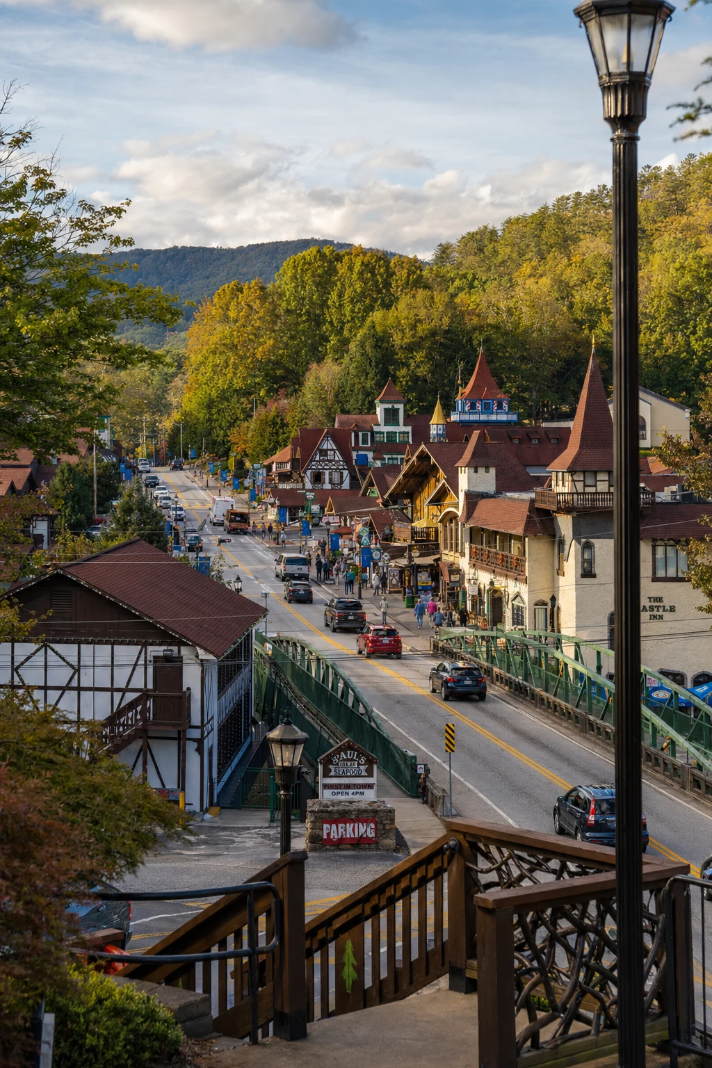
Visualizing the Blue Ridge: A Comprehensive Guide to Scenic Overlooks and Photographic Opportunities Near Helen, Georgia
Panoramic overlooks, sunrise pulloffs, and the best vantage points for photographing the Blue Ridge
Brasstown Bald is Georgia's highest point, with 360-degree views from the top. You can reach it via a steep paved trail or take the shuttle up.
The Richard B. Russell Scenic Highway provides the highest concentration of accessible roadside overlooks, including Hogpen Gap and Dodd Creek Vista, which are easy to reach and offer dramatic sweeping mountain views.
Yonah Mountain requires a strenuous hike but rewards photographers with unique geological features, including massive granite rock faces ("Pink Cliffs") and a distinct, isolated summit view of the Piedmont.
About These Mountain Views
Blood Mountain and Cowrock Mountain (accessible from Tesnatee Gap) offer rugged, textured foregrounds along the Appalachian Trail, with rock outcrops that look especially good in sunrise light.
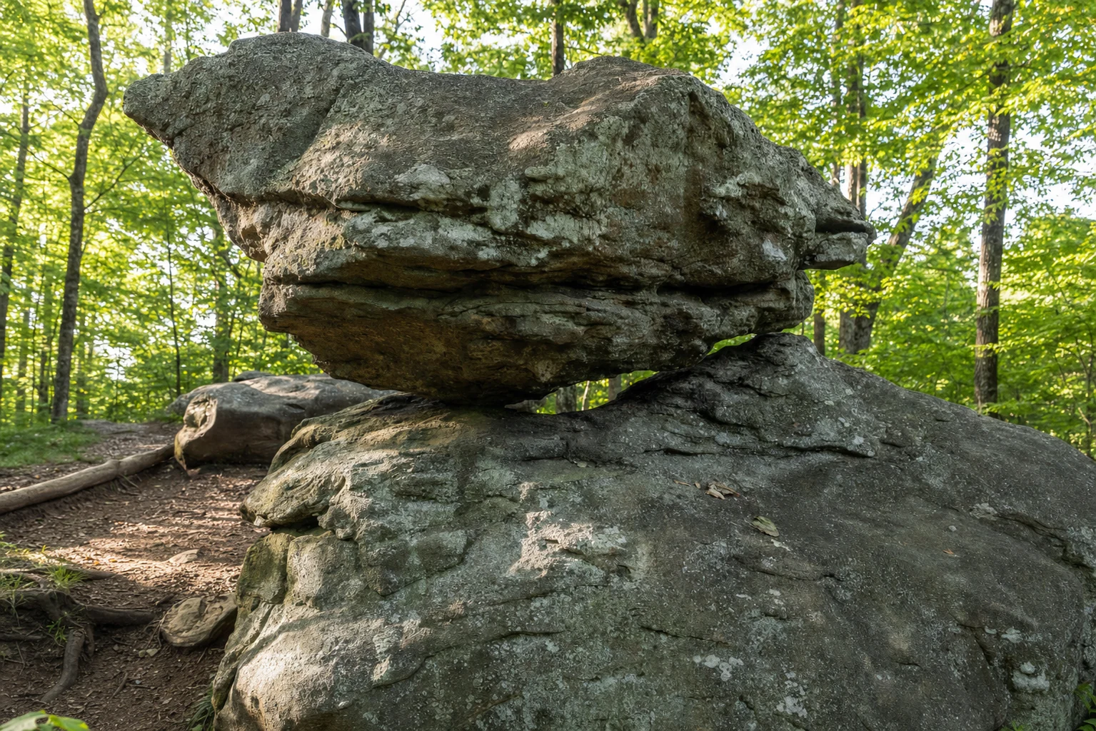
Raven Cliff Falls is a different kind of view entirely -- instead of wide-open mountain panoramas, you are looking at water flowing through a crack in a granite cliff face.
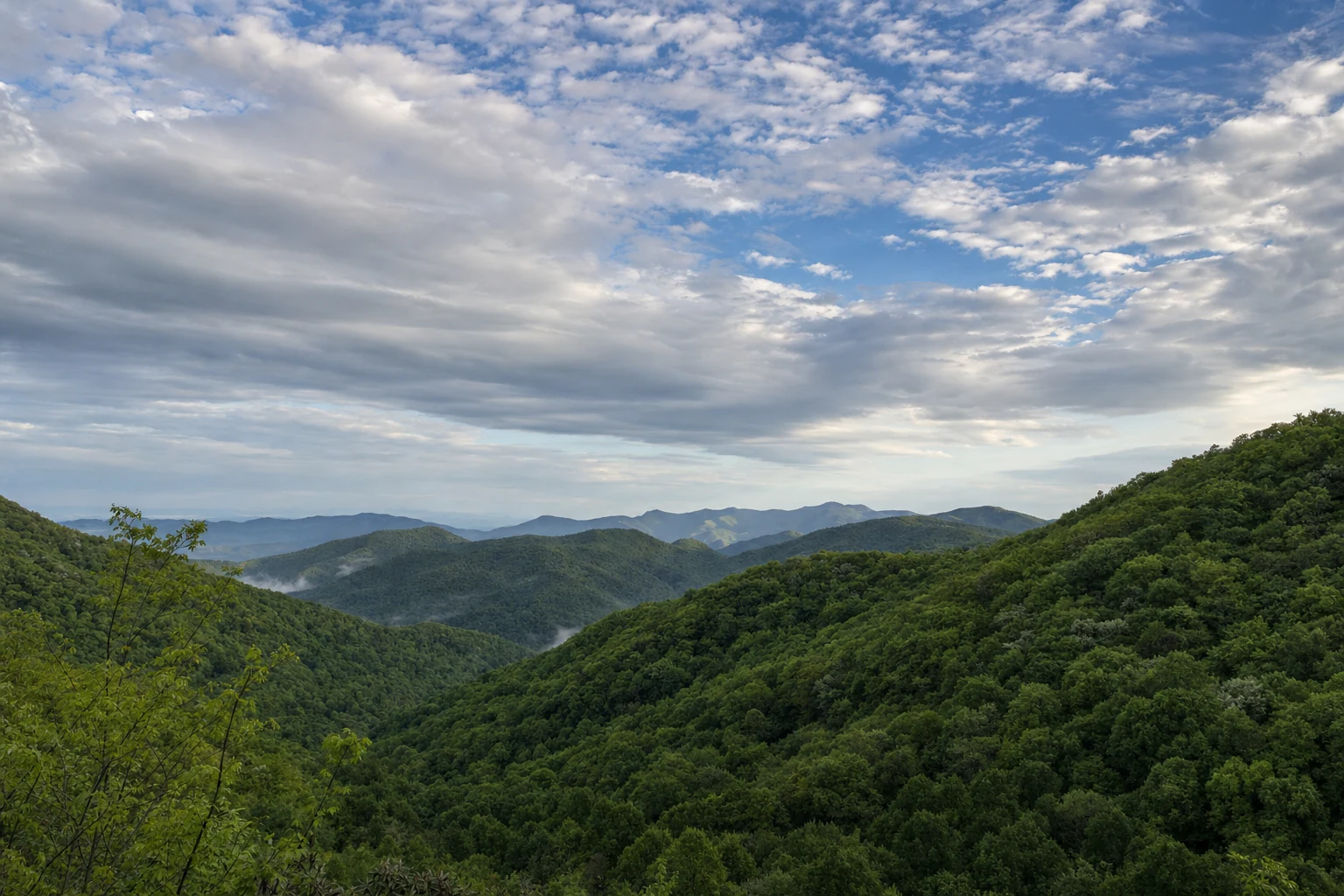
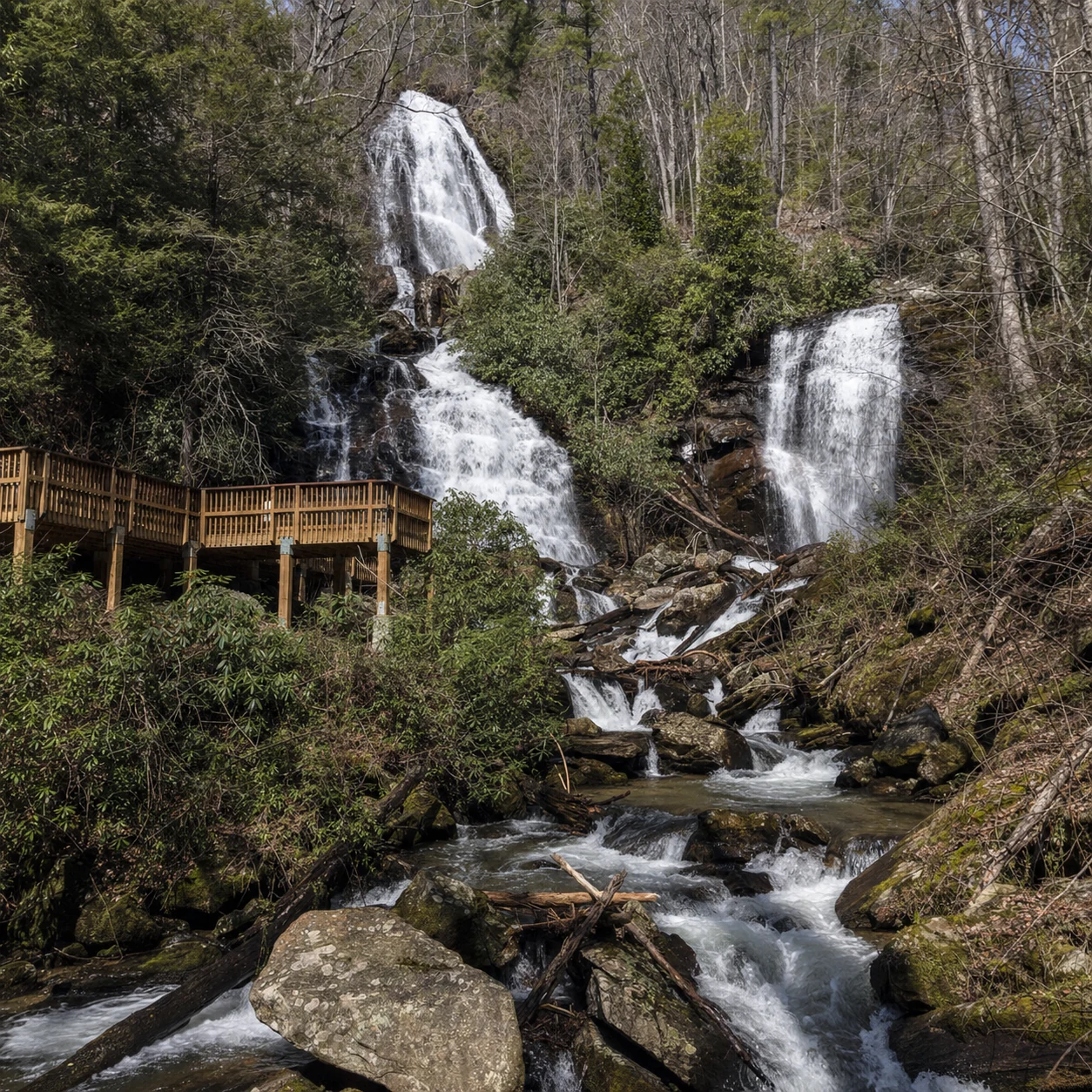
The Blue Ridge Mountains around Helen are geologically ancient, with rolling peaks, deep deciduous forests, and exposed granite domes. Whether you are a photographer or just someone who likes to pull over at a good overlook, there are viewpoints for every level of effort, from roadside pulloffs on the Russell Scenic Highway to rugged summit hikes. One thing that defines the look of this area is the "blue haze" -- caused by isoprene released by the trees -- which gives the distant ridges that layered, painterly quality. Below is a guide to the best viewpoints near Helen, with the access details, what the views actually look like, and tips for getting good photos.
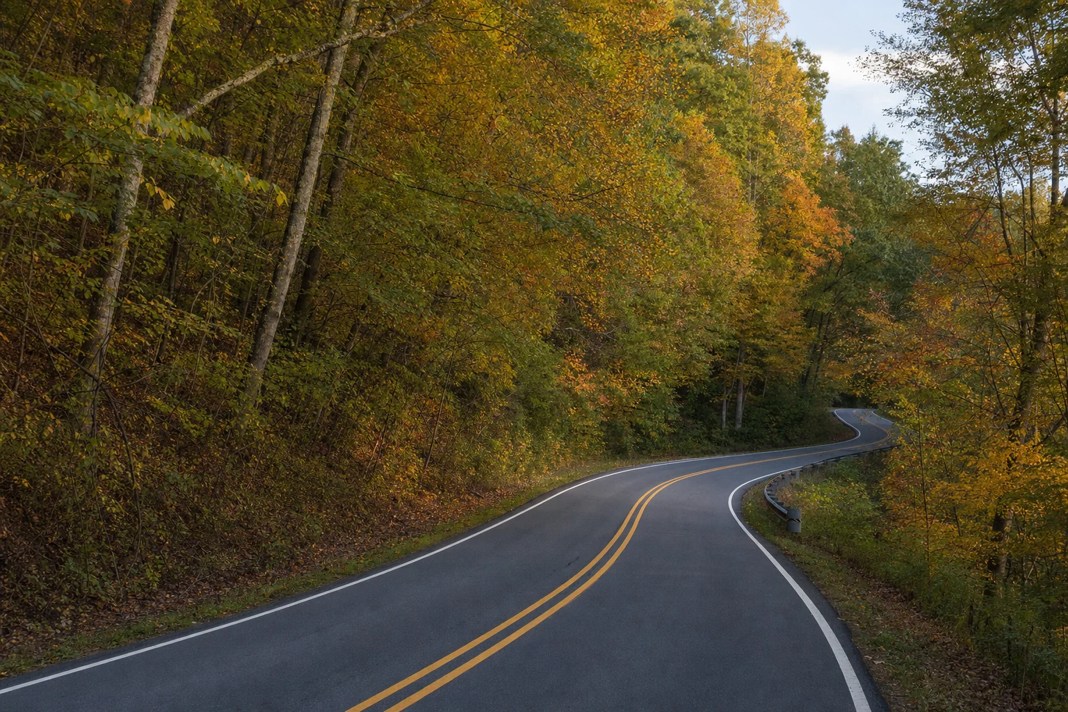
The Richard B. Russell Scenic Highway Corridor
The Richard B. Russell Scenic Highway (GA-348) is a 23-mile stretch of road that bisects the Raven Cliffs Wilderness and is the best road in North Georgia for high-elevation photography. It connects Helen to the Blairsville area, winding through the Chattahoochee National Forest and crossing the Appalachian Trail.
Hogpen Gap
Hogpen Gap is widely considered one of the premier roadside overlooks in the state, located at a significant elevation along the scenic highway.
Geographic and Visual Context
Situated at an elevation of approximately 3,480 feet, Hogpen Gap is a crossing point for the Appalachian Trail. The overlook offers expansive views of the rolling Blue Ridge Mountains, distinct for the layering of ridges that recede into the horizon. Unlike many overlooks that are obscured by vegetation, Hogpen Gap provides a relatively open window to the mountains, making it a favorite for capturing the vastness of the Chattahoochee National Forest.
Photographic Opportunities and Tips
Sunrise and Sunset: The gap is particularly noted for its sunrise potential. The orientation allows photographers to capture the sun cresting over the layered ridges, often creating a silhouette effect on the nearer mountains while illuminating the mist in the valleys.
Winter Ice: During winter months, the rock walls ("cuts") along the highway near the gap often freeze, creating massive icicles and ice sheets. This provides a unique macro photography opportunity or a dramatic foreground element for wide-angle shots, a rarity in the typically temperate South.
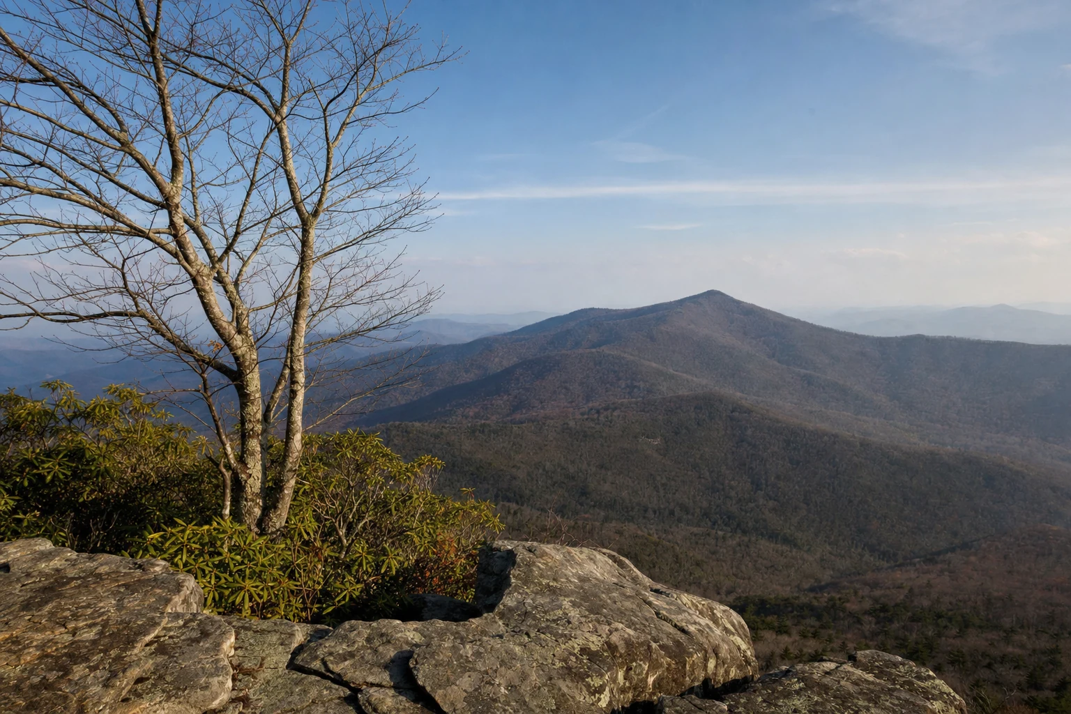
Tesnatee Gap and Cowrock Mountain
While Tesnatee Gap functions primarily as a trailhead and parking area, the true scenic value lies in the hike to Cowrock Mountain which originates here.
Access and Topography
Tesnatee Gap is located at 3,137 feet, just west of Hogpen Gap on GA-348. The parking area itself offers limited views, but it is the starting point for a short but steep hike (approximately 0.85 to 1 mile one way) southbound on the Appalachian Trail to Cowrock Mountain.
Cowrock Mountain Vistas
Upon reaching the summit of Cowrock Mountain (approx. 3,850 feet), hikers are rewarded with open rock outcrops that offer some of the best unobstructed views on the Georgia AT.
The View: The primary vista looks southward and eastward, providing a commanding view of Mount Yonah’s distinct profile and the Wildcat Mountain range. The exposed rock slabs allow for 270-degree views, far superior to the enclosed feeling of the gap below.
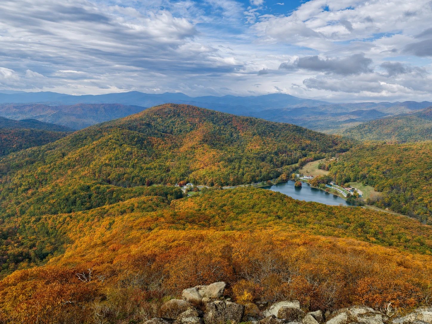
Dodd Creek Vista and Highway Pulloffs
Scattered along the Richard B. Russell Scenic Highway are several smaller, often unnamed pulloffs, with Dodd Creek Vista being a notable designated stop.
Dodd Creek Vista
This overlook is located south of Hogpen Gap as the road descends toward Helen. It offers views looking down into the Raven Cliffs Wilderness and the headwaters of the Nottely River. It is a prime location for viewing the sheer vastness of the forest canopy, which turns brilliant reds, oranges, and golds during the autumn peak leaf season (usually late October to early November).
Roadside Photography Tips
Convenience: These pulloffs allow for quick stops, making them ideal for chasing changing light conditions without the time commitment of a hike.
framing: Use the overhanging branches of roadside trees to frame the distant valleys. This adds depth to the image and prevents the sky from dominating the composition, especially on cloudless days.
The Giants of Georgia: Summit Views
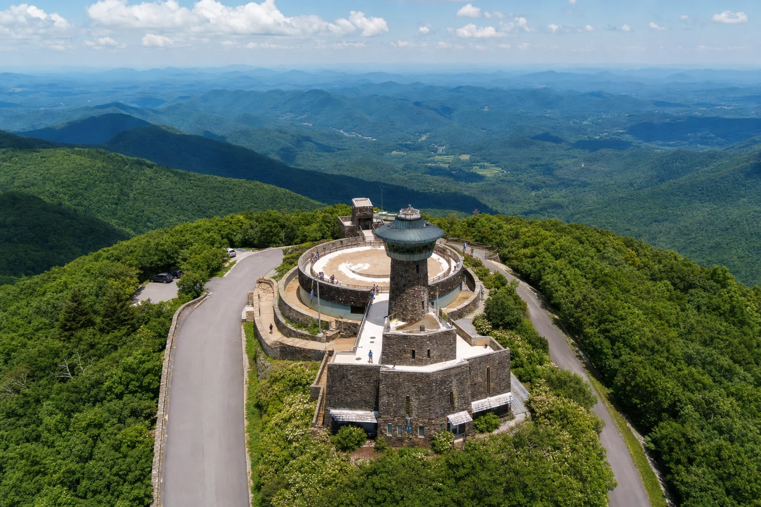
Brasstown Bald
As the highest point in Georgia at 4,784 feet, Brasstown Bald offers an unrivaled panoramic perspective.
The Observation Experience
The summit hosts a visitor center and an observation deck that provides 360-degree views. On days with exceptional clarity, it is possible to see four states: Georgia, Tennessee, North Carolina, and South Carolina. The skyline of Atlanta, approximately 90 miles away, can occasionally be glimpsed on the southern horizon.
Access Logistics
Access to the summit is via GA-180 Spur. Visitors park at a lower lot and have two options: a steep, paved 0.6-mile hike or a shuttle bus service (operating seasonally and during business hours).
Warning: The shuttle does not run at sunrise or sunset, meaning photographers aiming for the "golden hour" must hike the trail.
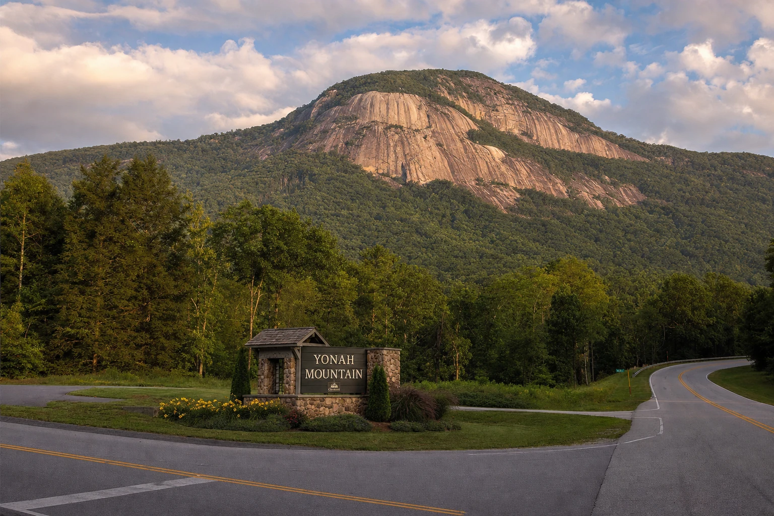
Yonah Mountain
Mount Yonah is iconic not just for its views, but for its shape. An asymmetric granite monolith, it is a favorite among climbers and hikers.
The Trek and Terrain
The hike to the summit is moderately strenuous, covering roughly 4.2 to 4.4 miles round trip with an elevation gain of approximately 1,500 feet. The trail passes through a US Army training area, adding a unique historical dimension to the hike.
Key Photogenic Features
The Pink Cliffs: The main face of Yonah, often called the "Pink Cliffs," consists of sheer granite drops. Photographers should exercise extreme caution here, as the drop-offs are sudden and dangerous.
The Grassy Clearing: About halfway up (approx. 1.2 miles in), a grassy meadow provides the first major views of the valley and the summit cliffs above. This is an excellent spot for mid-hike photography.
Blood Mountain
Blood Mountain, the highest peak on the Appalachian Trail in Georgia (4,458 feet), offers a rugged, backcountry aesthetic.
The Summit Environment
The summit is home to a historic stone shelter built by the Civilian Conservation Corps (CCC) in the 1930s. While the shelter itself is enclosed, massive rock outcrops nearby provide sweeping views to the south and east.
Photographic Opportunities
The CCC Shelter: The stone structure offers a textural contrast to the natural landscape. Photographing the shelter in mist or fog can create a moody, atmospheric image that conveys the history of the AT.
Rock Outcrops: The outcrops near the summit (and at Freeman Trail junction) serve as natural balconies. These are ideal for "hero shots" of hikers looking out over the wilderness.
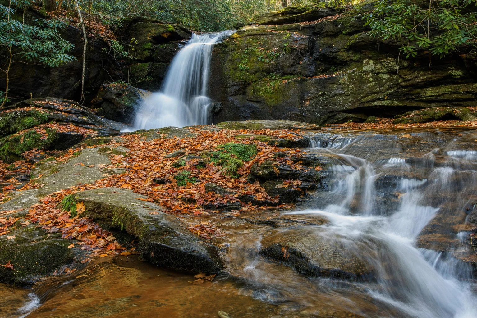
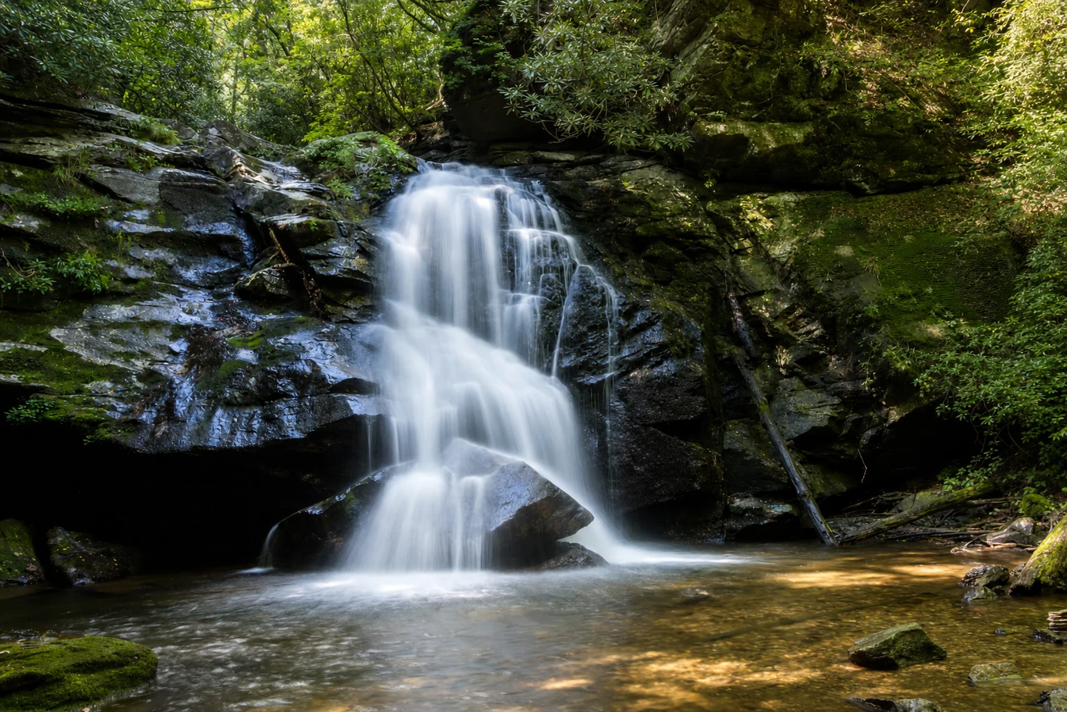
Hydrological Scenery: Raven Cliff Falls
While not a "mountain overlook" in the traditional sense, Raven Cliff Falls is a critical scenic viewpoint in the Helen area.
The Unique Geological Feature
Unlike traditional waterfalls where water flows over a ledge, Raven Cliff Falls flows through a massive fracture in a granite cliff face, dropping approximately 40 feet within the rock before cascading further.
The Hike and Dodd Creek
The trail is approximately 5 miles round-trip and follows Dodd Creek. Along the way, hikers encounter smaller waterfalls, including Dodd Creek Falls, which many photographers find arguably more picturesque than the main falls due to better angles and accessibility.
Photography Tips for Waterfalls
Technical Photography Guide for the Blue Ridge
To successfully capture the majesty of the North Georgia mountains from these locations, specific technical approaches are recommended.