Explore Helen, Georgia

A Bavarian Alpine Village in the Blue Ridge Mountains

Tubing Index
Loading — ft
🌤️ —°
🌤️ —°
🌤️ —°
Next Up Painted Fern Art Festival July 11-12, 2026
Getting to Helen, Georgia

Getting to Helen, Georgia

Driving routes, airports, and scenic detours for reaching this Bavarian village in the Blue Ridge Mountains

Helen, Georgia sits at the southern edge of the Blue Ridge Mountains in White County, approximately 90 miles north of Atlanta. Despite its mountain setting, the town is remarkably accessible by car, with well-maintained state highways connecting it to every major city in the region. Whether you are driving up from Atlanta for a weekend getaway, crossing from Athens after a football Saturday, or heading west from the Carolinas, the journey to Helen is part of the experience. The roads wind through some of the most beautiful countryside in the southeastern United States, and the final approach through the Chattahoochee National Forest is genuinely spectacular.

There is no commercial airport in Helen, and no public transit serves the town directly, so a personal vehicle is the primary way to get here. Once you arrive, Helen's compact downtown is highly walkable, but having a car is essential for exploring the surrounding waterfalls, state parks, wineries, and mountain overlooks that make this region so rewarding.

From Atlanta (90 Miles)

The most common route to Helen takes about 90 minutes

The majority of visitors to Helen drive up from the Atlanta metropolitan area, and the route is straightforward. Take GA-400 North from the city, which carries you through the northern suburbs and into the foothills. GA-400 ends near Dahlonega, where you will merge onto GA-60 and then pick up GA-75 North, which leads directly into Helen. The total drive is approximately 90 miles and takes around an hour and a half under normal conditions.

Check Georgia 511 for real-time traffic and road conditions before departing. Traffic on GA-400 can be heavy during Friday afternoon rush hour, particularly between Buckhead and the Windward Parkway exit in Alpharetta. If you are leaving Atlanta on a Friday afternoon, consider departing before 3:00 PM or after 7:00 PM to avoid the worst congestion. Once you clear the suburbs, the road opens up and the drive becomes genuinely pleasant. The final stretch on GA-75 climbs through the Chattahoochee National Forest with sweeping mountain views that signal you are arriving somewhere special.

From Athens (75 Miles)

A scenic route through northeast Georgia's rolling hills

From the University of Georgia campus in Athens, take US-129 North through Jefferson and toward Cleveland, the county seat of White County. From Cleveland, GA-75 North takes you the remaining 12 miles into Helen. The drive is approximately 75 miles and takes about 90 minutes. This route passes through charming small towns and farmland, with the mountains gradually rising ahead of you as you travel north.

An alternative route from Athens takes US-441 North through Cornelia and onto GA-365, a four-lane highway that connects to GA-384 and then GA-75 into Helen. This route is slightly longer in distance but can be faster due to the divided highway sections. Game day weekends in Athens make the US-129 corridor busier than usual, so plan accordingly if visiting during football season.

From Greenville, SC (130 Miles)

A cross-mountain journey through the Carolina-Georgia highlands

Visitors from the Greenville-Spartanburg area in South Carolina have a scenic but slightly longer drive of approximately 130 miles, taking roughly two and a half hours. The most direct route follows I-85 South into Georgia, then picks up US-23 South and GA-365 North toward Cornelia and Clarkesville. From there, GA-17 and GA-75 wind through the mountains into Helen.

An alternative and more scenic option from the Carolinas involves crossing the mountains via US-76 through Clayton, Georgia, then dropping south on GA-75 through Hiawassee and into Helen. This route adds time but passes through Tallulah Gorge and the stunning high country of Rabun County, making it a worthwhile detour for those who enjoy mountain driving.

Scenic Route Options

Turn your drive into the first attraction of your trip

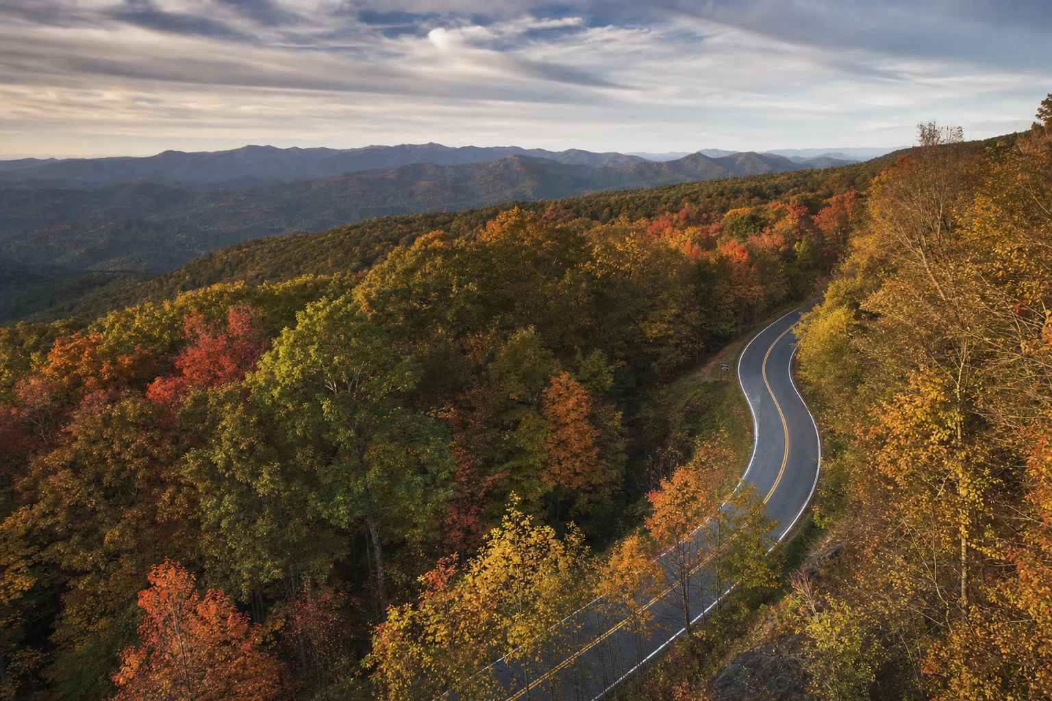
GA-75 Mountain Approach to Helen

The Blue Ridge Mountain views along scenic routes near Helen are worth the extra driving time.

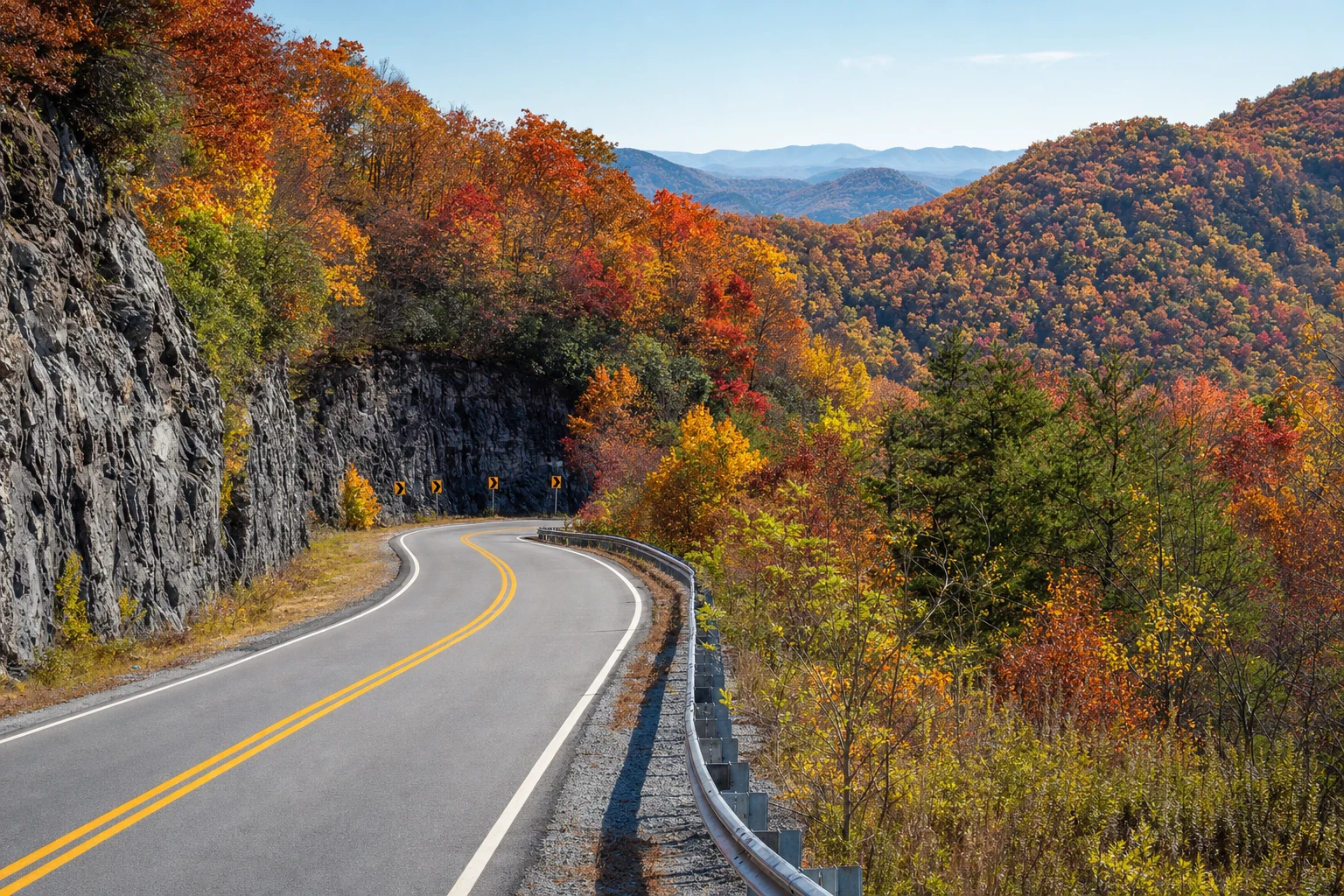
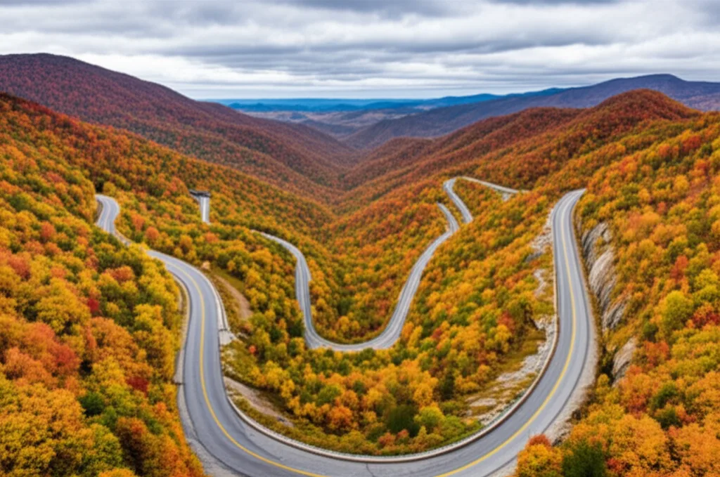
If you are not in a rush, consider taking one of several scenic alternatives that transform the drive into a memorable part of your Helen experience. The Richard B. Russell Scenic Highway (GA-348) connects GA-75 north of Helen to GA-180 near Brasstown Bald, Georgia's highest peak. The highway climbs to over 3,400 feet and offers jaw-dropping panoramic views of the Blue Ridge range. It is one of the finest driving roads in the state.

Another exceptional option is the approach from Dahlonega via GA-60 through Suches, which passes through the Wolf Pen Gap area. This narrow, winding mountain road is a favorite among motorcyclists and driving enthusiasts. For those approaching from the north, GA-75 from Hiawassee runs along the shore of Lake Chatuge before descending through Robertstown and Unicoi Gap into Helen - a route that is particularly stunning during fall foliage season in October.

Nearest Airports

Flying in and driving up to the mountains

Hartsfield-Jackson Atlanta International Airport (ATL) is the closest major airport, located approximately 100 miles south of Helen. As the world's busiest airport, ATL offers direct flights from virtually every major city in the United States and many international destinations. From ATL, rent a car and follow the Atlanta directions above - the drive takes about two hours depending on airport traffic.

For a closer option, Lee Gilmer Memorial Airport in Gainesville (GVL) is only about 40 miles from Helen, though it primarily serves private and charter aircraft. Greenville-Spartanburg International Airport (GSP) in South Carolina is another option for visitors from the eastern seaboard, situated approximately 130 miles from Helen with good interstate access.

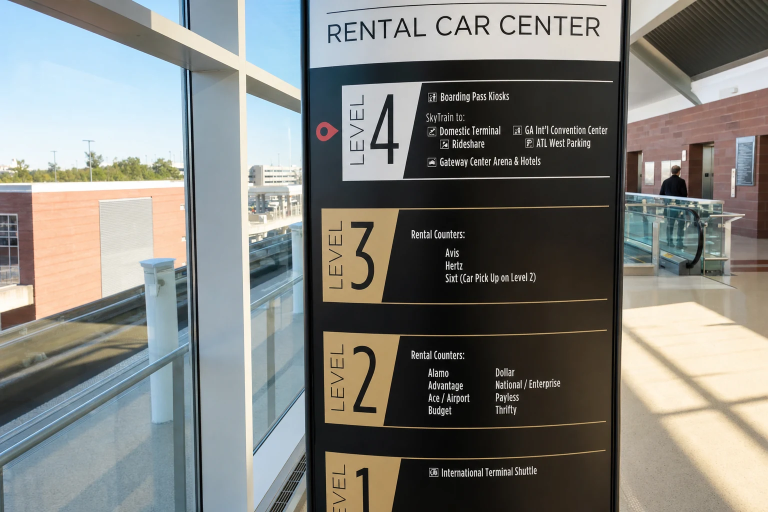
Regardless of which airport you fly into, a rental car is essential. While Groome Transportation offers shuttle service from ATL to various north Georgia locations, there is no direct public transit connecting any airport to Helen. All major rental car companies operate at Hartsfield-Jackson, and reserving a vehicle in advance is recommended, especially during peak fall season when demand is high.

Travel Tips

Practical advice for a smooth journey

Fill Up Before You Arrive

Gas stations in Helen are limited and prices tend to be higher than in the valley towns. Fill your tank in Cleveland, Clarkesville, or Cornelia on the way up.

Watch for Mountain Weather

Mountain roads can be affected by fog, ice, and sudden rain. Check NOAA Weather forecasts before departing, and drive cautiously on the winding sections of GA-75 and GA-348.

Download Maps Offline

Cell service can be spotty in the mountains north of Cleveland. Download your route on Google Maps or Apple Maps before leaving the city for uninterrupted navigation.

Plan for Peak Traffic

During Oktoberfest (September-November) and fall foliage weekends, GA-75 into Helen can back up significantly. Arriving before 10 AM on weekends avoids the worst delays.

More to Explore

Start planning your Helen adventure

Richard B. Russell Scenic Highway (GA-348)
Georgia's Richard B. Russell Scenic Highway (GA-348) climbs to over 3,400 feet, connecting GA-75 north of Helen to GA-180 near Brasstown Bald. The highway crosses open ridgelines with panoramic Blue Ridge views and is a favorite among motorcyclists and driving enthusiasts.
Brasstown Bald
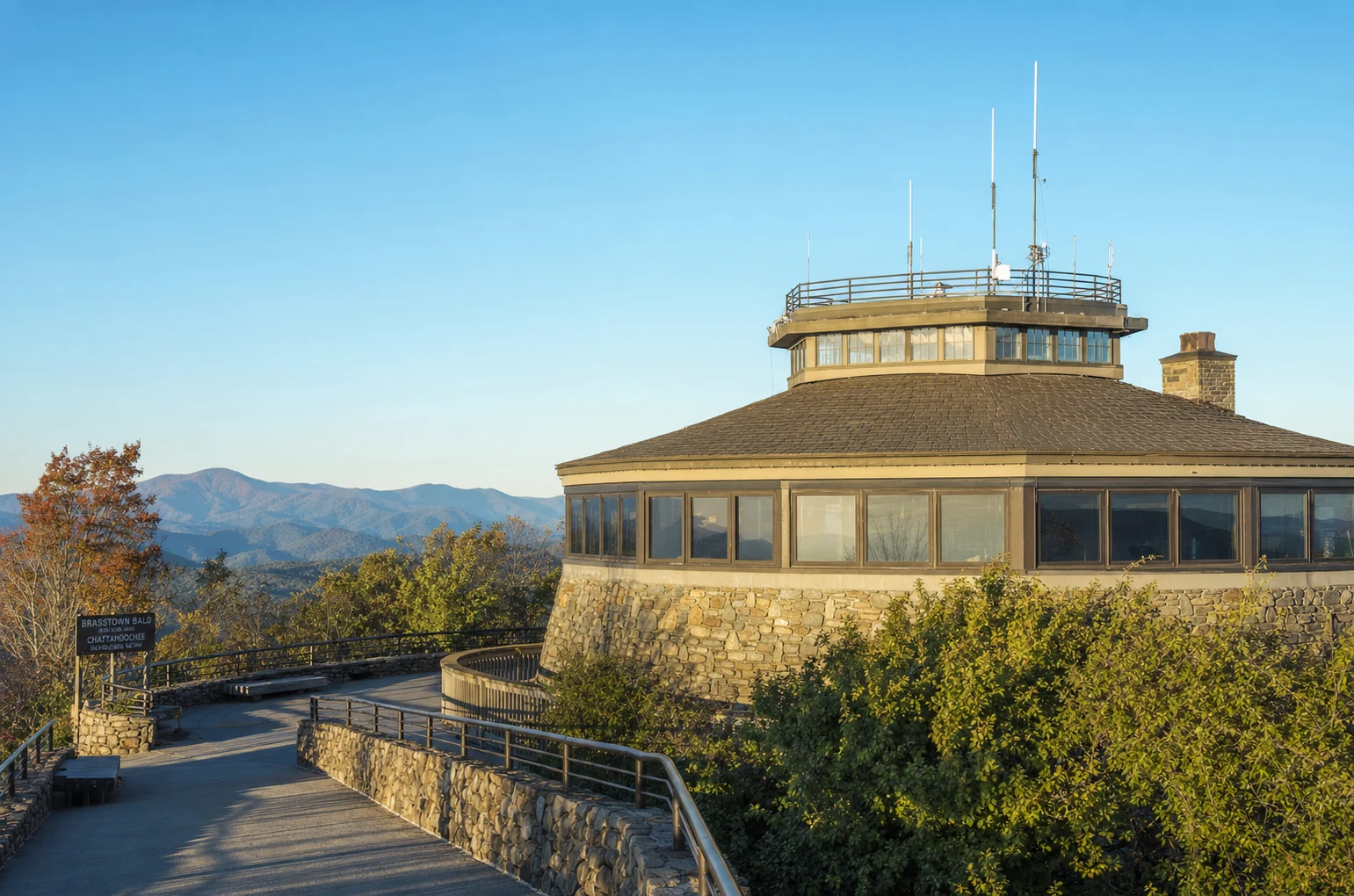
Brasstown Bald, Georgia's highest peak at 4,784 feet, sits northwest of Helen via GA-180 and GA-348. A 0.6-mile paved trail leads from the parking area to an enclosed observation tower with four-state views on clear days. Open spring through fall.
Lake Chatuge
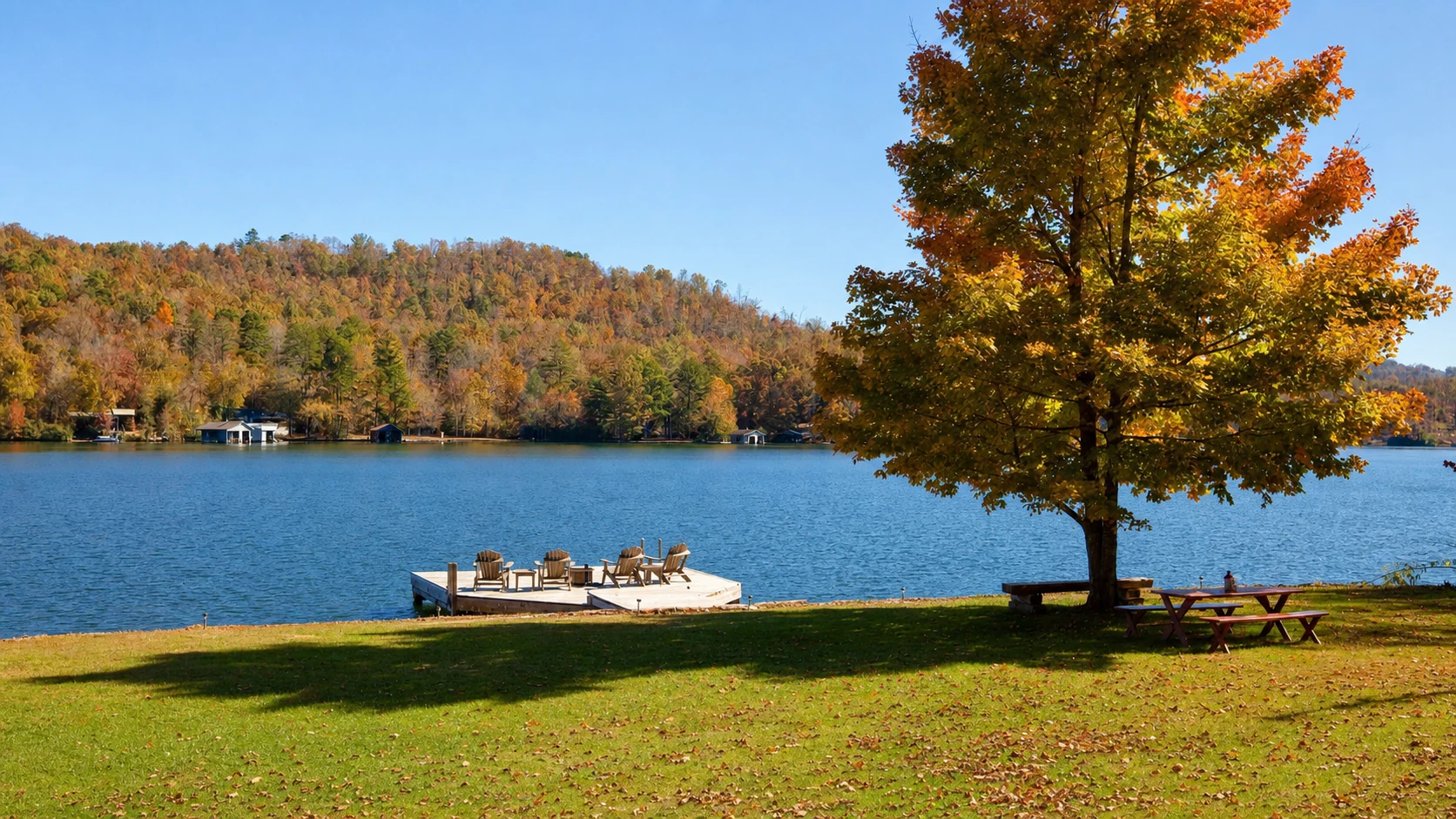
Lake Chatuge, a TVA reservoir straddling the Georgia–North Carolina border near Hiawassee, lies along GA-75's northern approach to Helen. Travelers from the north pass the lake's eastern shore before descending through Robertstown and Unicoi Gap into the valley below.
Tallulah Gorge
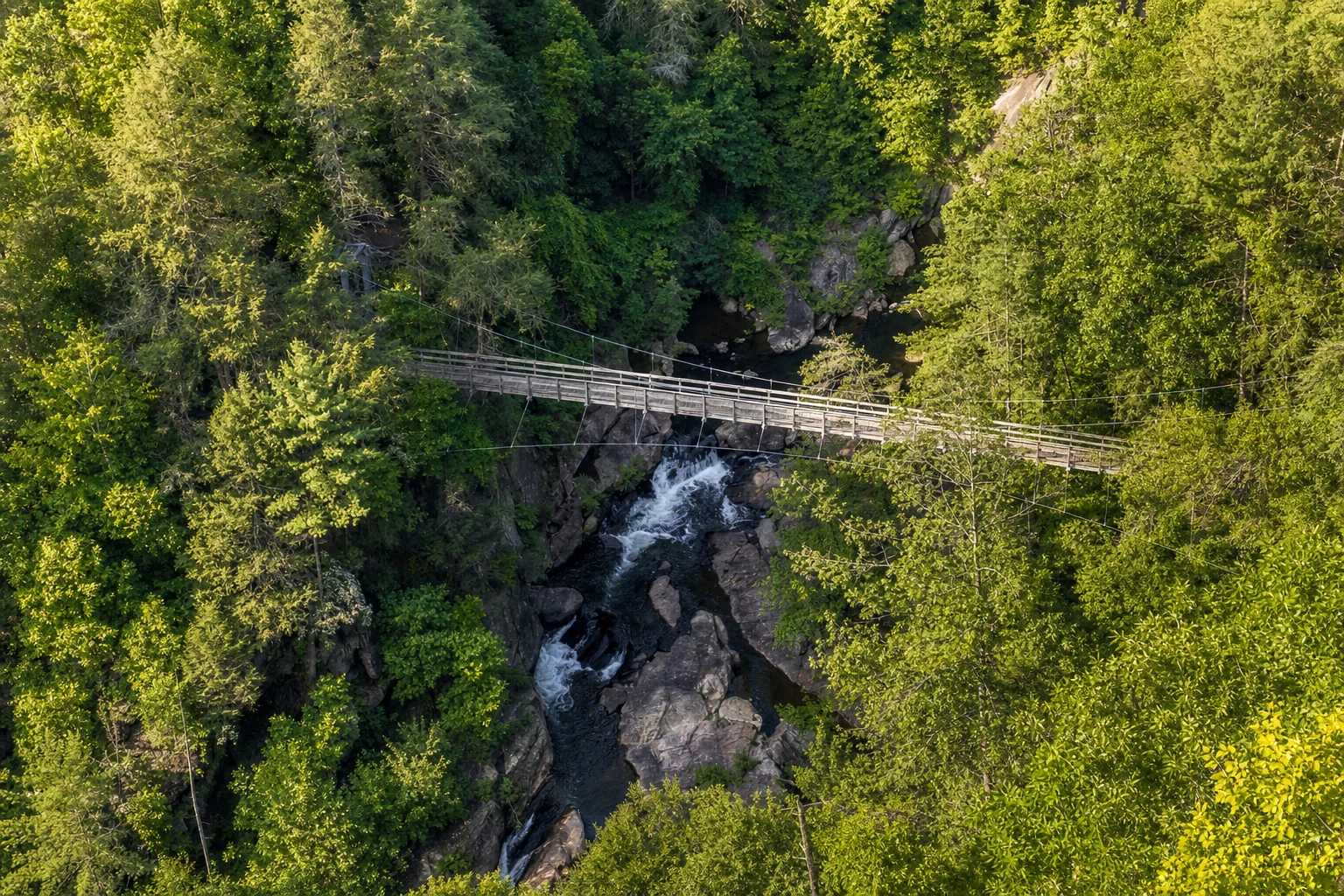
Tallulah Gorge, a two-mile chasm up to 1,000 feet deep in Rabun County, lies along the scenic alternate route from South Carolina via US-76 through Clayton. Visitors from the Carolinas can detour here before continuing south on GA-75 into Helen.
Helen, GA Alpine Village
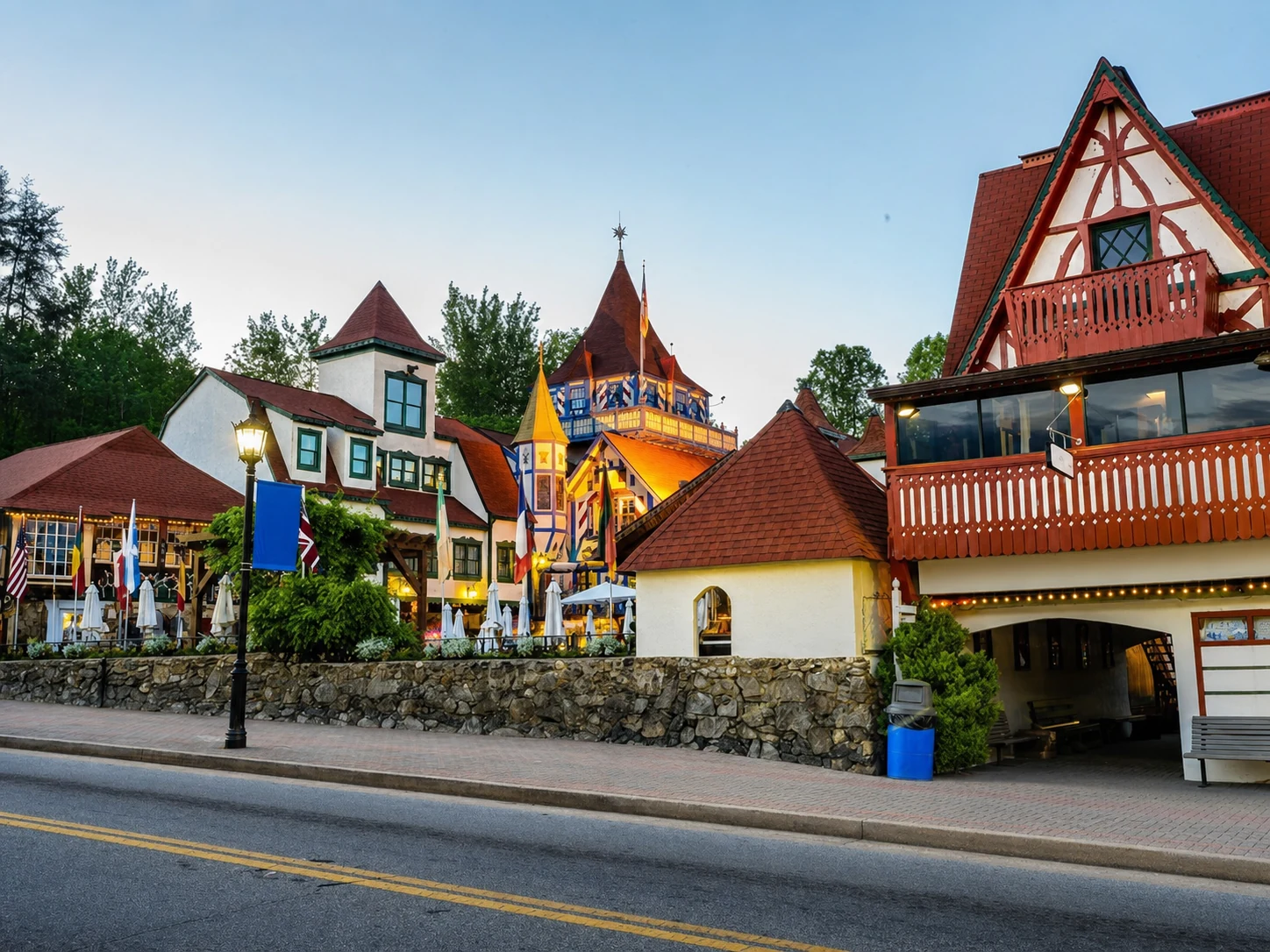
Downtown Helen, centered on Bruckenstrasse along the Chattahoochee River, recreates a Bavarian alpine village with painted facades, flower boxes, and half-timbered storefronts. The compact walkable district sits at roughly 1,450 feet elevation in White County and is entirely c...
Hartsfield-Jackson Atlanta International Airport
Hartsfield-Jackson Atlanta International Airport (ATL), 100 miles south of Helen, is the primary flying gateway to the region. All major rental car companies operate on-site; advance reservations are strongly recommended during peak fall foliage weekends in October.

Find Your Place to Stay in Helen

See live prices and real-time availability for cabins, hotels, and vacation rentals — compared across Booking.com, Expedia, Vrbo, and more on one interactive map.

Free to browse · we may earn a commission at no extra cost to you