The Complete Weather and Climate Guide to North Georgia’s Alpine High Country
Seasonal temperatures, elevation effects, rainfall patterns, and what to pack for the North Georgia mountains
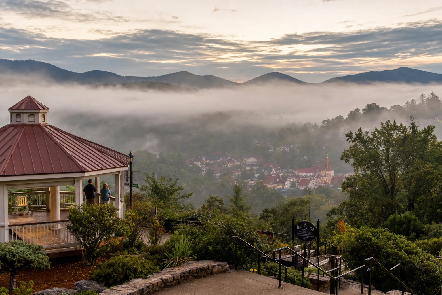
The weather in the North Georgia mountains keeps you on your toes. Pack a sweater for Brasstown Bald even in August, and have tire chains ready if you are visiting in January. The single best piece of advice for any trip to Helen: check the forecast for the peaks, not just the valley. The mountains tell a colder, wetter, more unpredictable story than the town does.
Introduction: A Climate Apart
Key Points
Elevation Matters: Temperatures in the North Georgia mountains drop significantly with altitude; the summit of Brasstown Bald (4,784 ft) is typically 10–15°F cooler than the village of Helen (1,447 ft).
Rainfall Abundance: This region is among the wettest in the Eastern U.S., with annual precipitation often exceeding 65–70 inches, necessitating high-quality rain gear year-round.
Distinct Seasons: Unlike the Deep South, North Georgia experiences four true seasons, including a colorful autumn and a winter capable of producing significant snow and ice at higher elevations.
Severe Weather Risks: Visitors must be aware of spring tornado seasons (March–May) and occasional winter storms that can close mountain passes like the Richard B. Russell Scenic Highway.
*
1. Temperature Dynamics: The Lapse Rate Effect
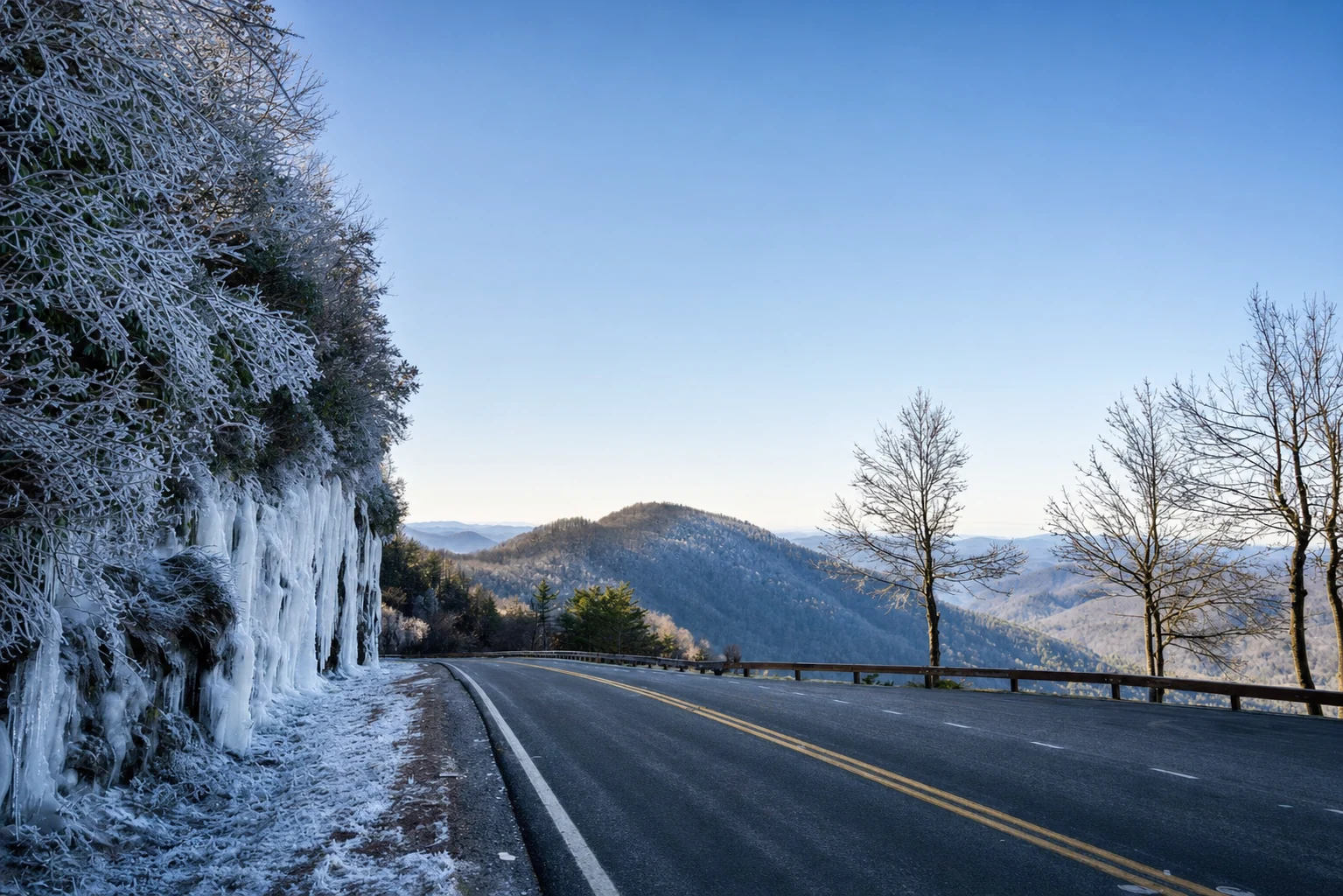
The biggest factor in North Georgia weather is the environmental lapse rate: temperatures drop about 3.5°F to 5°F for every 1,000 feet of elevation you gain. That creates two very different climate zones within a short drive of each other. Down in the Valley Floor (Helen, Unicoi State Park, Nacoochee Valley) it might be pleasant. Up in the High Country (Brasstown Bald, Richard B. Russell Scenic Highway) it could be 15 degrees colder with fog rolling in.
#### The Heat Island Avoidance
Visitors escaping Atlanta often seek relief from the "Urban Heat Island" effect. Atlanta's dense concrete and asphalt absorb and retain heat, keeping overnight lows uncomfortably high. In contrast, the North Georgia mountains naturally shed heat rapidly after sunset.
Atlanta vs. Helen: On a typical mid-summer day, while Atlanta may register heat indices near 105°F with dew points in the oppressive 70s, the mountain valleys around Helen benefit from "cold air drainage" at night, often dropping into the 60s.
The Elevation Bonus: Higher elevations like Brasstown Bald rarely see temperatures exceed 84°F, even during the hottest heat waves, effectively bypassing the suffocating humidity found in the Piedmont region.
#### Average Temperatures by Month
2. Precipitation: Rain, Snow, and Ice
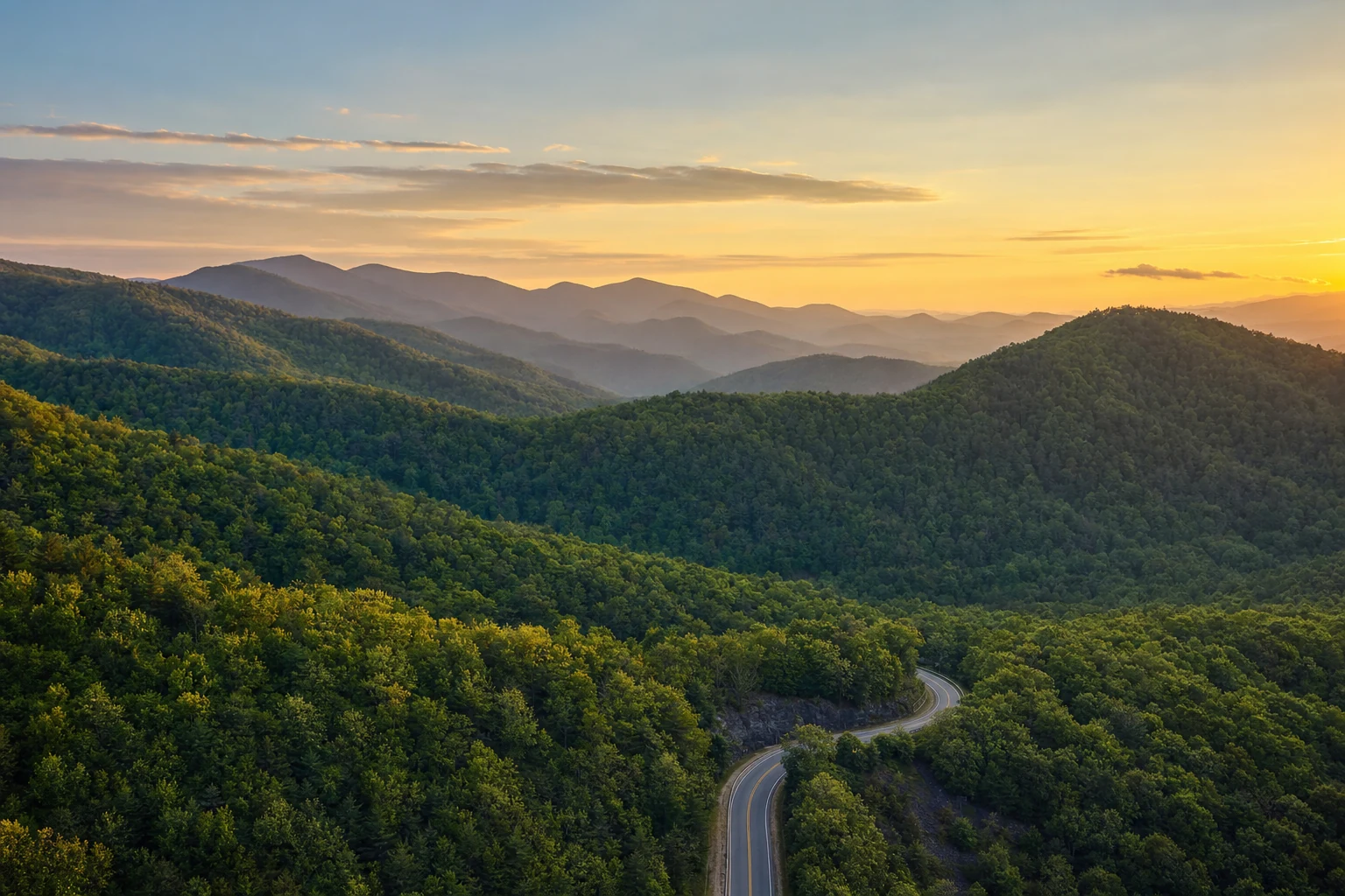
The Southern Appalachians get enough rain to qualify as a temperate rainforest. Moist air from the Gulf of Mexico flows north, hits the steep wall of the Blue Ridge, and gets pushed up. As it rises it cools and dumps its moisture. That is orographic lift, and it is the reason this area gets so much rain.
#### Rainfall Patterns
Annual Totals: Helen and the surrounding White County area receive between 66 and 72 inches of rain annually. This is nearly double the U.S. average and significantly higher than Atlanta’s 50 inches.
Wettest Month: March and December are historically the wettest months, often seeing 6–7 inches of accumulation.
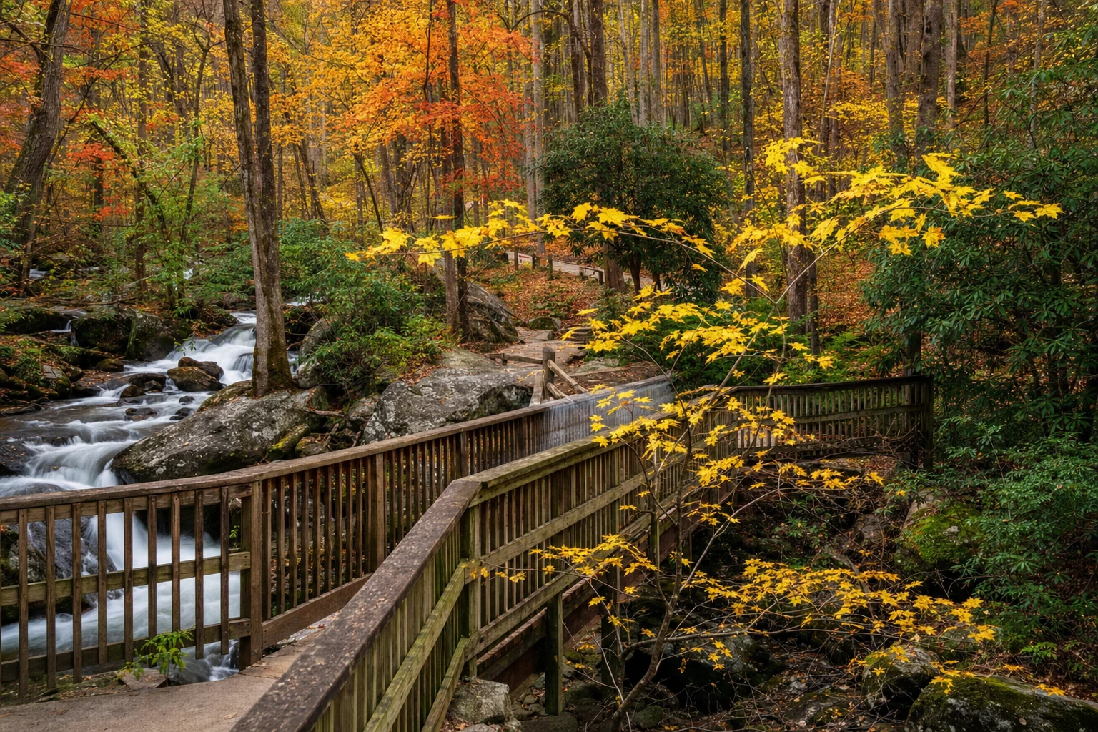
Driest Month: October is typically the driest and most stable month, making it the premier time for hiking and fall foliage viewing.
#### Snowfall and Winter Storms
3. Atmospheric Phenomena: Fog and Clouds
The North Georgia mountains are famous for their "smoky" appearance, a result of both biological and meteorological processes.
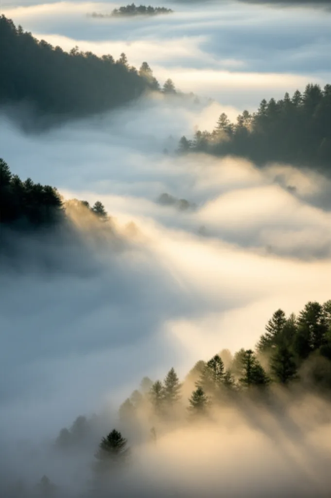
#### Valley Fog and Cold Air Drainage
In autumn and spring, clear skies and calm winds create ideal conditions for radiational cooling. The ground cools rapidly at night, chilling the air immediately above it. This dense, cold air slides down the mountain slopes and pools in the valleys (like the Nacoochee Valley in Helen), condensing into thick fog banks while the mountain peaks remain clear. This is often densest around sunrise.
#### Mountain Mist
Conversely, "upslope fog" occurs when moist winds are pushed up the mountains, capping peaks like Brasstown Bald and Blood Mountain in clouds while the valleys remain clear. Hikers should be prepared for sudden visibility drops to less than 50 feet on ridge lines.
4. Severe Weather Awareness
People underestimate how fast mountain weather can turn. The terrain channels wind and hides approaching storms behind ridges. Always check the National Weather Service forecast before going into the mountains.
Tornado Season: The primary threat window is March through May, with a secondary season in November.
Historical Context: The Palm Sunday Outbreak of March 27, 1994, devastated the region. An F3 tornado tore through White, Dawson, and Lumpkin counties, killing three people and causing massive destruction along a 45-mile path.
Flash Flooding: With steep terrain and rocky soil, heavy rains (common in summer thunderstorms and tropical systems) cause creeks to rise instantly. Smith Creek (at Anna Ruby Falls) and the Chattahoochee River (downtown Helen) are prone to rapid swelling.
Tropical Impact: In September 2017, Tropical Storm Irma brought sustained winds of 30-45 mph and gusts up to 65 mph to the mountains, toppling thousands of trees and causing widespread power outages.
Safety Tip: In the event of a Tornado Warning, seek shelter in a substantial building on the lowest floor. If you are in a rental cabin, identify the safest interior room (usually a bathroom or closet) immediately upon arrival.
5. Seasonal Packing & Activity Guide
#### Spring (March – May)
The Vibe: Erratic. Can be 75°F one day and near freezing the next. High river levels make for exciting whitewater but dangerous wading.
Pack: Waterproof hiking boots (trails will be muddy), a heavy fleece or softshell jacket, and a rain shell. Dress in layers.
Key Event: Wildflower blooms (Trillium, Lady Slipper) begin in late March/early April.
#### Summer (June – August)
The Vibe: Warm and humid days, pleasantly cool nights. Afternoon thunderstorms are clockwork-regular.
6. Detailed Visitor Resources & Trail Guides
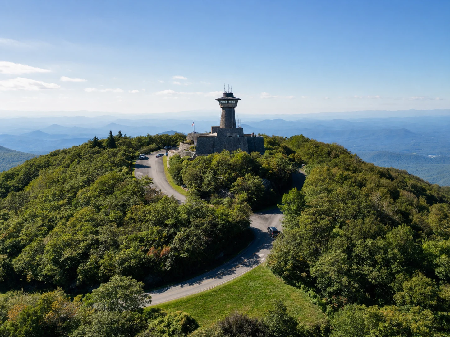
#### Brasstown Bald Visitor Center & Recreation Area
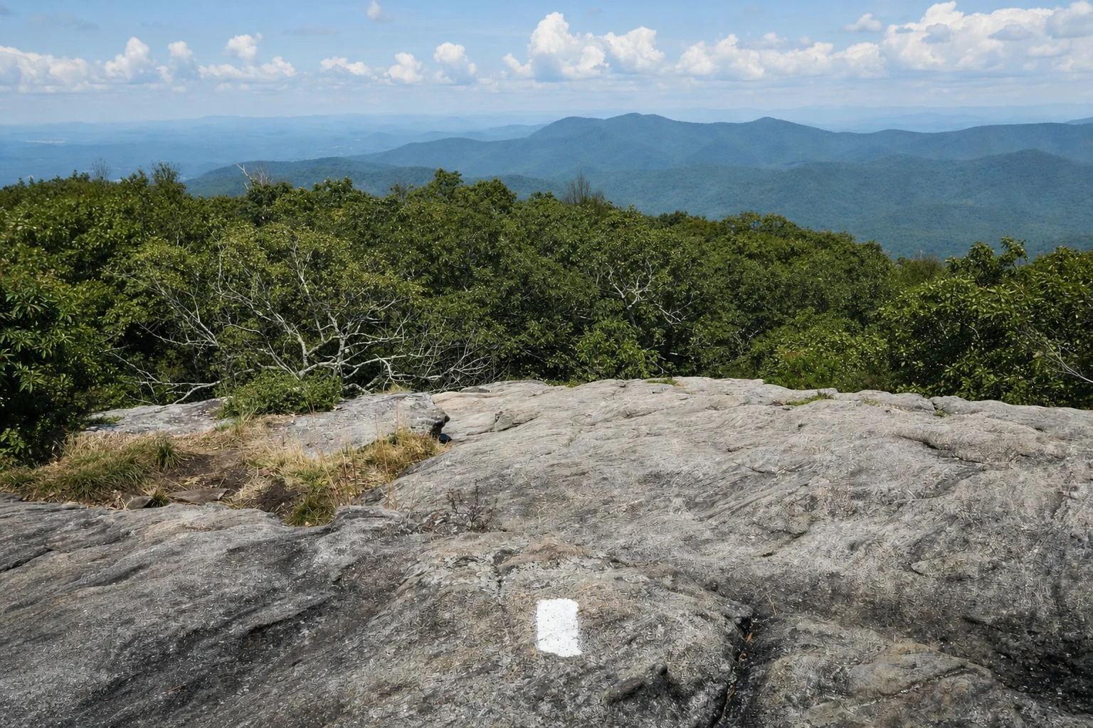
Description: The highest point in Georgia. On clear days, the Atlanta skyline (85 miles away) is visible.
Address: 2941 Hwy 180 Spur, Hiawassee, GA 30546.
Phone: (706) 896-2556.
Hours: Daily 10:00 AM – 5:00 PM (Season typically April–December).
Pricing: ~$8.00 per person (16+), includes shuttle. $5.00 admission in off-season (no shuttle).
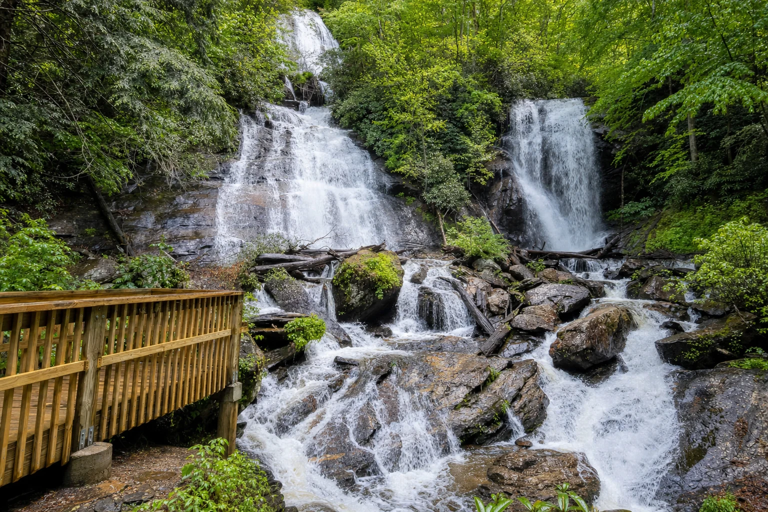
Related Imagery from Around Helen