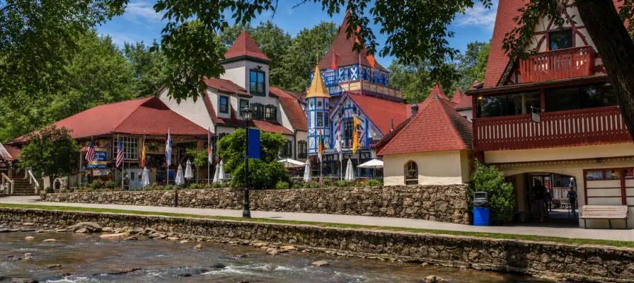
Explore Helen, Georgia

A Bavarian Alpine Village in the Blue Ridge Mountains

Tubing Index
Loading โ€” ft
โ€” ๐ŸŒค๏ธ โ€”ยฐ
โ€” ๐ŸŒค๏ธ โ€”ยฐ
โ€” ๐ŸŒค๏ธ โ€”ยฐ
Next Up Honoring Our Heroes Veterans Day Buffet at Unicoi Lodge November 11, 2026
Trails & Hiking

Trails & Hiking

Waterfalls, lake loops and ridge walks within about 25 minutes of Helen

By The Explore Helen Editorial Team Updated Fees and closures checked with Georgia State Parks and the Forest Service

Start here

Most of Helen's best hikes are 10 to 25 minutes from town. For a first walk, take the paved path to Anna Ruby Falls or the lake loop at Unicoi. For a real waterfall hike, try Dukes Creek Falls (moderate) or Raven Cliff Falls (longer, with a creek crossing). Fees run from $4 to $10 depending on the site, and a few trails are closed this fall; both are below.

Most of Helen's trails sit in the Chattahoochee-Oconee National Forest, and the rest are in Georgia state parks. The Appalachian Trail is close, too. Fall color usually peaks around the end of October to the first of November; see the fall color guide.

Drive time to the trailheads
  1. Unicoi State Park 10 min
  2. Dukes Creek Falls 15 min
  3. Raven Cliff Falls 15 min
  4. Anna Ruby Falls 20 min
  5. Hogpen Gap (Appalachian Trail) 25 min

Approximate drive times from Helen.

What it costs

Trailhead fees by site
SiteFee
Georgia state parks (Unicoi, Smithgall Woods)$10 per vehicle ParkPass
Anna Ruby Falls$6 per person, ages 16 and up
Dukes Creek Falls$4 per vehicle
Raven Cliff Falls$5 per vehicle

Fees differ by site, so check before you go.

Closed this fall

Trails and areas closed in fall 2026
PlaceStatus
Vogel State ParkLake loop trail and waterfall closed while the lake is drained for dam repairs
Panther Creek Recreation AreaTemporarily closed
Black Rock Mountain State ParkAda-Hi Falls Trail closed for stair repairs

Trail Difficulty Key

Easy

Gentle, well-maintained paths suitable for all ages and fitness levels. Mostly flat or with minimal elevation gain.

Moderate

Some elevation change and uneven terrain. Good fitness level recommended. May include steeper sections or rocky paths.

Strenuous

Challenging trails with significant elevation gain, rough terrain, or long distances. Suitable for experienced hikers.

Trail Guide

Difficulty ratings, distances and fees for the trails people ask about most.
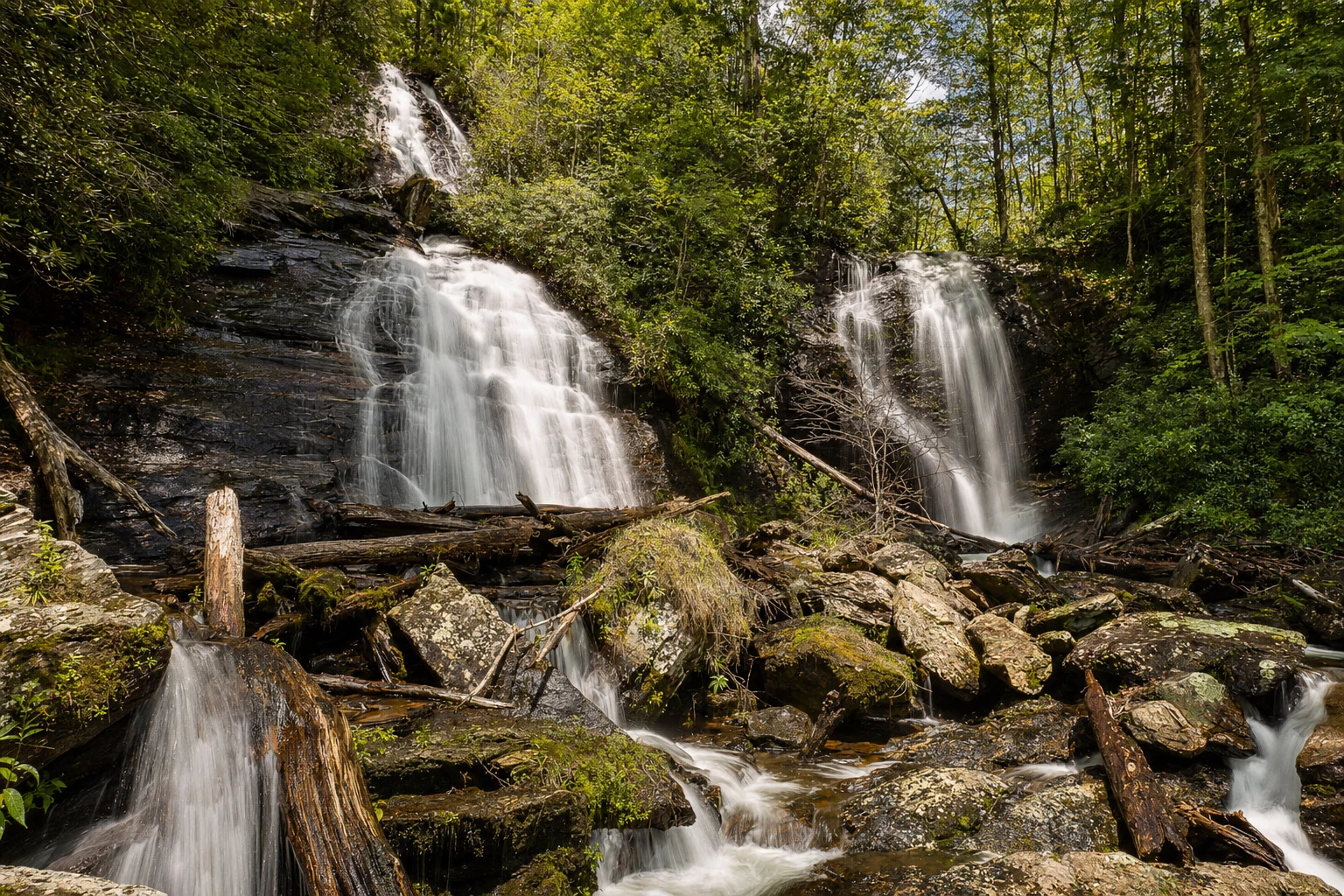
Anna Ruby Falls Trail
Easy

Anna Ruby Falls Trail

About 0.4 mile each way
Paved, with steep sections

A short paved walk beside Smith Creek to twin falls: Curtis Creek drops about 153 feet and York Creek about 50. The path has a few steep pitches, so it isn't wheelchair friendly, but the 0.1-mile paved Lion's Eye Trail at the same site is accessible. Admission is $6 for ages 16 and up, and the Georgia ParkPass isn't accepted here.
Twin waterfalls Paved path $6 ages 16+ Lion's Eye Trail
View trail details
Dukes Creek Falls Trail
Moderate

Dukes Creek Falls Trail

2.2 miles round trip
Descent to the falls, climb back

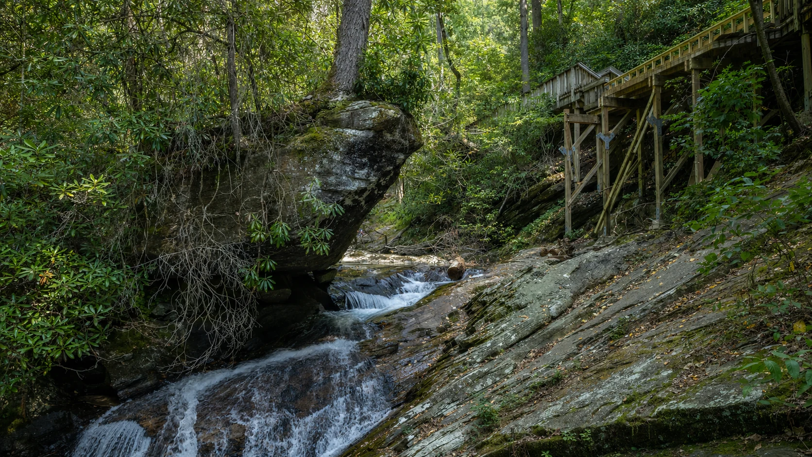
A Forest Service trail that heads down to the pool below the falls, so the walk back is the climb. Views toward Mount Yonah open up along the way. Parking is $4 per vehicle per day (card, Recreation.gov or an America the Beautiful pass), and it's separate from Smithgall Woods.
Waterfall Overlooks Views toward Mount Yonah $4 per vehicle
View trail details
Raven Cliff Falls Trail
Moderate

Raven Cliff Falls Trail

2.6 miles each way
Creek crossing; can run calf-deep

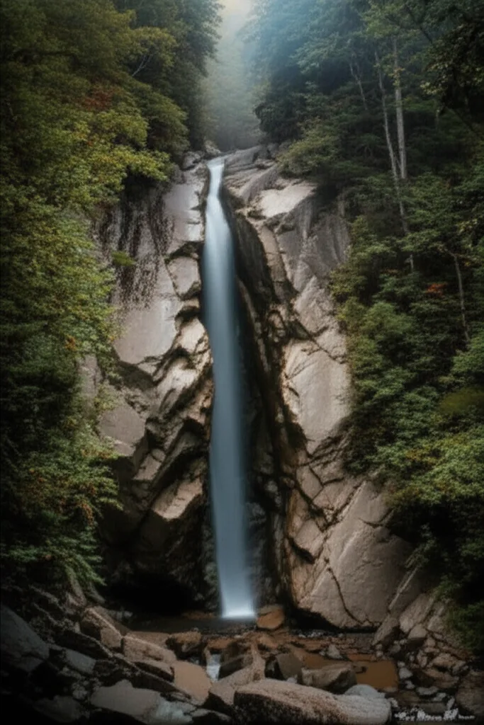
The longer hike among the close-in waterfalls: 2.6 miles each way into the Raven Cliffs Wilderness to a waterfall that pours through a split in the rock face. A creek crossing can run calf-deep. The gravel lot holds about 30 cars and parking is $5 per vehicle, so arrive early on fall weekends.

Raven Cliffs Wilderness Waterfall Creek crossing $5 per vehicle
View trail details
Unicoi Lake Trail
Easy

Unicoi Lake Trail

2.5-mile loop
Easy grade

An easy loop around 53-acre Unicoi Lake that the park's own trail map calls a great fall hike for viewing leaves. Georgia State Parks charges $10 per vehicle per day (the ParkPass), and the park is open 7 AM to 10 PM.
Lake views Fall color Family-friendly $10 ParkPass
View trail details
Smithgall Woods Laurel Ridge Loop
Moderate

Smithgall Woods Laurel Ridge Loop

1.6-mile loop
Climbs through hardwoods

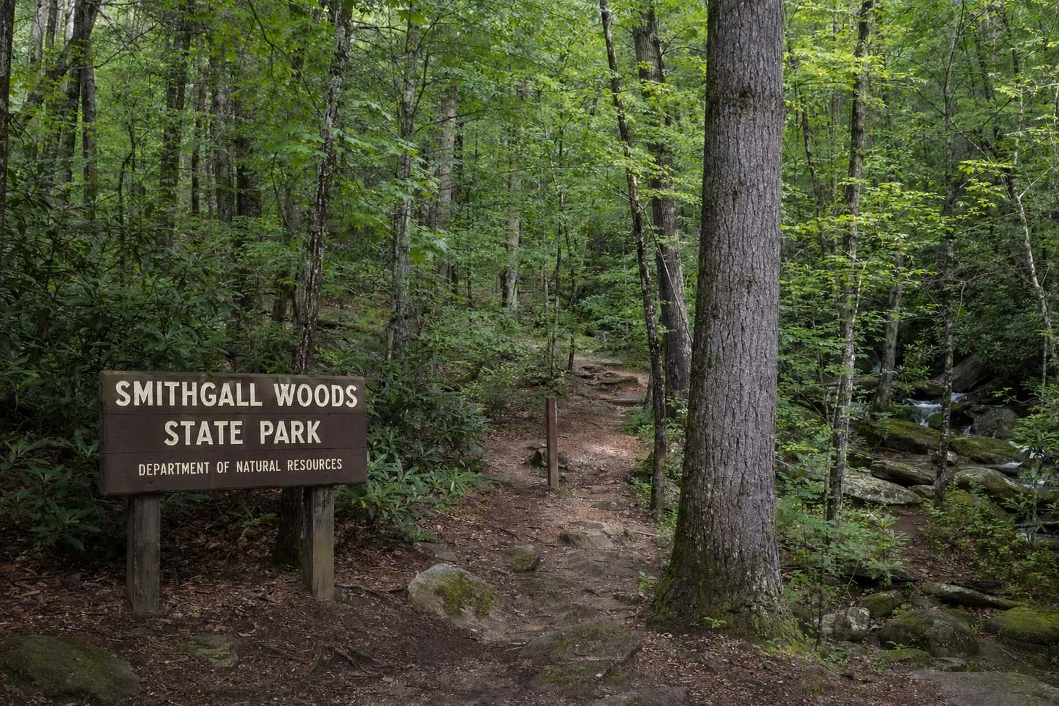
A 1.6-mile loop through hardwoods above Dukes Creek in a 5,844-acre state park. Every visitor registers at the visitor center first, and a ParkPass ($10 per vehicle) is required. The park is open 7 AM to dark.
Hardwood forest Dukes Creek Quiet trails Register at the visitor center
View trail details
Mount Yonah
Strenuous

Mount Yonah

Steep climb; see the trail page
Summit about 3,165 ft

The granite-faced mountain you see from the Nacoochee Valley. Hikers do climb it, but it's a hard, steep trip and current trailhead details change, so read our Yonah page and check with local sources before you go. From the valley roads around Sautee Nacoochee you can enjoy it without the climb.

Granite summit Long views Rock climbing area Strenuous
View trail details
Helton Creek Falls
Easy

Helton Creek Falls

Short walk; see the guide
Steps down to the falls

A short walk down to two waterfalls on Helton Creek, in the national forest north of Helen. It's a popular quick stop; check current conditions and access with the Forest Service before you go.

Two waterfalls Short hike Family-friendly
View trail details
Appalachian Trail at Hogpen Gap
Strenuous

Appalachian Trail at Hogpen Gap

Walk as far as you like
Gap at 3,461 ft

Hogpen Gap on GA-348 (the Richard B. Russell Scenic Highway) is where the Appalachian Trail crosses the road beside a small parking area, about 25 minutes from Helen. Walk any stretch of the AT in either direction; the climbs are steep, and color arrives here first in fall.

Appalachian Trail High elevation Ridge views Parking at the gap
View trail details
Chattahoochee River Walk
Easy

Chattahoochee River Walk

Short stroll
Flat

A flat stroll along the Chattahoochee through the village, with shops and restaurants close by and tubers on the water in summer.

River views Downtown access Shops nearby
View trail details

Trail safety tips

Carry plenty of water, especially on climbs. Mountain trails can be more dehydrating than they look.
Wear sturdy footwear with good traction. Many trails have rocky, root-covered, and sometimes slippery surfaces.
Check weather conditions before heading out. Mountain weather can change rapidly, and thunderstorms are common in summer afternoons.
Let someone know your plans. Cell service is unreliable on many trails and back roads.
Black bears live in these mountains. Store food properly and make some noise on the trail so you don't surprise one.
Start early to avoid afternoon crowds and storms, and to find parking at popular trailheads in fall.
Water cascades down moss covered granite rocks at one of the accessible waterfalls near Helen, Georgia, with white rushing water creating misty spray as it tumbles over multiple tiers of stone. The waterfall is framed by lush rhododendron and mountain laurel vegetation clinging to the wet rocks, their dark green leaves contrasting with the white water flow. Smooth boulders at the base of the falls are darkened by constant moisture, and the surrounding rock faces show layers of geological history in varied gray and brown tones. The scene captures the power and beauty of Southern Appalachian waterways during a season of healthy water flow, typical of the numerous cascades found along hiking trails radiating from Helen into the surrounding national forest.
Water cascades down moss covered granite rocks at one of the accessible waterfalls near Helen, Georgia, with white rushing water creating misty spray as it tumbles over multiple tiers of stone.
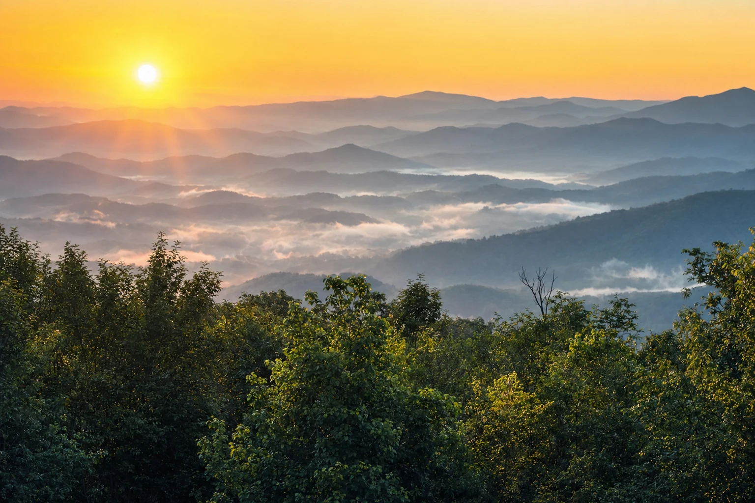
A sweeping mountain vista from an overlook near Helen, Georgia shows layers of blue ridges receding into the distance under a clear sky. The foreground features a rocky outcrop where hikers can rest and take in the panoramic view of the Chattahoochee National Forest spreading across the valleys below. Multiple mountain ranges create a classic Blue Ridge effect with each successive ridge appearing lighter and hazier in the atmospheric perspective. Dense forest cover blankets the slopes in various shades of green, with occasional clearings or rock faces breaking the tree line. This viewpoint represents the reward found at the end of several challenging trails accessible from Helen, where elevation gain provides visitors with spectacular views of the Southern Appalachian landscape stretching across Northeast Georgia.
A sweeping mountain vista from an overlook near Helen, Georgia shows layers of blue ridges receding into the distance under a clear sky.
A brown wooden trail information sign stands at a trailhead near Helen, Georgia, displaying maps, difficulty ratings, and distance markers for hikers preparing to enter Chattahoochee National Forest. The sign includes carved or routed text indicating trail names, mileage to key destinations like waterfalls or overlooks, and safety information for visitors. Behind the sign, the trail entrance is visible with a clear path leading into dense forest. The weathered wood of the sign shows the natural aging expected in a mountain environment, and the area around the signpost is cleared to allow groups of hikers to gather and read information before beginning their journey. This type of informational marker is common at the many trailheads surrounding Helen that provide access to waterfalls, mountain peaks, and scenic forest walks.
A brown wooden trail information sign stands at a trailhead near Helen, Georgia, displaying maps, difficulty ratings, and distance markers for hikers preparing to enter Chattahoochee National Forest.

Find Your Place to Stay in Helen

See live prices and availability for cabins, hotels and vacation rentals, compared across Booking.com, Expedia, Vrbo and more on one interactive map.

Free to browse ยท we may earn a commission at no extra cost to you