Native American Archaeological Heritage of the North Georgia Mountains: Settlement, Ceremonialism, and Contemporary Significance
Your guide to native american archaeological heritage of the north georgia mountains: settlement, ceremonialism, and contemporary significance in Helen, Georgia and the Blue Ridge Mountains
The North Georgia mountains hold an archaeological record that goes back thousands of years, from early hunter-gatherer camps to the complex chiefdoms that built earthen mounds and traded across the Southeast. This guide covers the major sites you can visit near Helen: Track Rock Gap, Nacoochee Mound, Fort Mountain, and Etowah Mounds. It also separates the popular legends (Moon-eyed people, star-crossed lovers) from what archaeologists have actually found in the ground. These places still matter deeply to the Muscogee (Creek) and Cherokee nations, and ongoing efforts under NAGPRA and tribal preservation programs are working to protect them.
The North Georgia mountains were never a quiet backwater. Over the centuries, cultures overlapped and succeeded one another here: the Woodland period (pottery, early stone enclosures like Fort Mountain), the Mississippian period (large-scale mound building, chiefdoms at Etowah and Nacoochee), and the historic Cherokee occupation.
Popular local legends often get the history wrong. The "mystery wall" at Fort Mountain is most likely a Middle Woodland ceremonial enclosure, not a fortress built by Welsh princes or "Moon-eyed people." The Nacoochee Mound is a Mississippian burial and platform mound, not the grave of two star-crossed lovers.
Key Points
The North Georgia mountains hold thousands of years of archaeological history, from early hunter-gatherers to the complex chiefdoms that built earthen mounds. The major sites near Helen include Track Rock Gap, Nacoochee Mound, Fort Mountain, and Etowah Mounds. Separating popular legends from actual archaeological findings is important for understanding these places, and the Muscogee (Creek) and Cherokee nations remain actively involved in their protection through NAGPRA and preservation efforts.
Cultural Continuity and Succession: The North Georgia mountains were not a static buffer zone but a dynamic region of interaction. The area saw the succession of the Woodland period (characterized by pottery and early enclosures like Fort Mountain), the Mississippian period (marked by large-scale mound building and chiefdoms like Etowah and Nacoochee), and the historic Cherokee occupation.
Myth vs. Archaeology: Popular local legends often obscure the true indigenous history. The "mystery wall" at Fort Mountain is likely a Middle Woodland ceremonial enclosure rather than a fortress for Welsh princes or "Moon-eyed people". Similarly, the Nacoochee Mound is a Mississippian burial and platform mound, not the grave of Romeo-and-Juliet-style lovers.
Muscogee and Cherokee Lineage: While the Cherokee inhabited North Georgia during the historic period (post-1700s), the great mound centers like Etowah and Nacoochee were constructed by the ancestors of the Muscogee (Creek) people. The Cherokee later reoccupied and venerated these sites, creating a layered cultural landscape.
Preservation and Sovereignty: Contemporary Native nations are actively asserting rights over these sites. The Muscogee Nation is currently leading a massive repatriation effort at Etowah under NAGPRA, while the Eastern Band of Cherokee Indians (EBCI) and Muscogee Nation jointly condemned recent vandalism at the Track Rock Gap petroglyph site, emphasizing its status as a sacred, living landscape.
I. Introduction: The Physiographic and Cultural Setting
The geography here shaped everything about how people lived. The Blue Ridge Mountains and the Ridge and Valley province determined where settlements could be built, which trade routes worked, and where farming was possible. This was a cultural crossroads where the Mississippian chiefdoms of the river valleys met the upland communities adapted to life in the Appalachian Summit.
The Chronological Framework
To understand sites like Fort Mountain or Etowah, one must contextualize them within the broader Southeastern timeline:
Archaic Period (8000–1000 BCE): Marked by a transition from nomadic big-game hunting to settled exploitation of local resources, such as freshwater mussels at Stallings Island. In the mountains, this period is represented by lithic scatters and soapstone quarrying.
Woodland Period (1000 BCE–1000 CE): Characterized by the introduction of pottery (Swift Creek, Napier), the bow and arrow, and the construction of rock effigies and enclosures. Fort Mountain and the early layers of mound sites date to this era.
Mississippian Period (900–1600 CE): The era of complex chiefdoms, intensive maize agriculture, and platform mound construction. Etowah and Nacoochee represent the zenith of this culture.
Historic Period (post-1540 CE): Following the collapse of Mississippian chiefdoms due to European disease and contact, the region saw the coalescence of the Creek Confederacy and the migration of the Cherokee into the area.
II. Fort Mountain: The Enigma of the Middle Woodland
Located near Chatsworth in Murray County, Fort Mountain State Park protects one of Georgia’s most enigmatic archaeological features: a serpentine rock wall stretching nearly 900 feet along the mountain crest.
Architectural Description
The structure is a "cyclopean" wall, constructed of unmortared stone gathered from the summit.
Dimensions: Estimates of length vary slightly, with the Georgia Department of Natural Resources citing 855 feet and archaeological reports suggesting up to 928 feet. The wall varies in height from two to six feet and reaches thickness of up to 12 feet at its base.
Features: The wall zigzags along the contour of the ridge and contains approximately 29 pits, often described as "foxholes," though their function remains debated. It lacks a closed perimeter, running from one steep precipice to another, which has complicated purely defensive interpretations.
Theories of Origin: Myth versus Science
The wall has generated plenty of legends over the years, and the stories tend to overshadow what the archaeologists actually found.
1. The "Moon-Eyed People" Legend:
Cherokee oral tradition speaks of a race of small, light-skinned, bearded people with pale eyes who could not see well in daylight. Legend holds that the Cherokee expelled these "Moon-eyed people" from the region. Local folklore often attributes the wall's construction to this group. Some interpretations suggest this legend may refer to an older indigenous group encountered by arriving Cherokee, or it may be a metaphorical description of differing cultural practices.
2. The Welsh Prince Madoc:
Another persistent theory suggests the wall was built by Prince Madoc of Wales, who allegedly arrived in Mobile Bay in 1170 CE. Proponents claim the fortification resembles European battlements. However, there is no archaeological evidence - such as European metallurgy, tools, or skeletal remains - to support a 12th-century Welsh presence in Georgia.
3. Archaeological Consensus: Middle Woodland Ceremonialism:
III. The Etowah Mounds: The Mississippian Capital
The Etowah Mounds sit in the piedmont near Cartersville (Bartow County), not in the mountains proper, but the site is essential to understanding the whole region. Etowah was the political and religious center of power in North Georgia, and its influence reached into the highland communities.
Site Overview and Chronology
Etowah is the most intact Mississippian culture site in the Southeast, occupied primarily between 1000 and 1550 CE. The 54-acre site includes six earthen mounds, a plaza, a defensive ditch system, and a village area.
Phases of Occupation: The site saw three distinct phases of occupation (Etowah, Wilbanks, and Lamar phases). It experienced periods of abandonment and violence, suggesting volatile political cycling common in Mississippian chiefdoms.
The Mound Complex
Mound A (The Great Temple Mound): Standing 63 feet tall and covering three acres, this is one of the largest prehistoric mounds in North America. It likely supported the residence of the paramount chief and served as a platform for public rituals visible from the plaza.
Mound B (The Lesser Temple Mound): Likely the residence of a secondary chief or high priest.
Mound C (The Mortuary Mound): This mound has yielded the most significant archaeological data. Excavations revealed elite burials containing elaborate copper headdresses, shell gorgets, and monolithic stone axes. These artifacts indicate Etowah's participation in the "Southeastern Ceremonial Complex" (SECC), a vast religious exchange network.
Muscogee Heritage vs. Cherokee Presence
One thing visitors should understand is who actually built Etowah.
Muscogee Ancestry: Archaeological consensus and oral history confirm that Etowah (from the Muskogee word Italwa, meaning "town") was built by the ancestors of the Muscogee (Creek) people. The social structure, artistic motifs, and architectural styles are distinctly ancestral to the Creek Confederacy.
Cherokee Association: The Cherokee inhabited the region later, during the 18th and early 19th centuries, but they did not build the mounds. However, the site remains sacred to the Cherokee as well, who occupied the landscape for centuries prior to Removal.
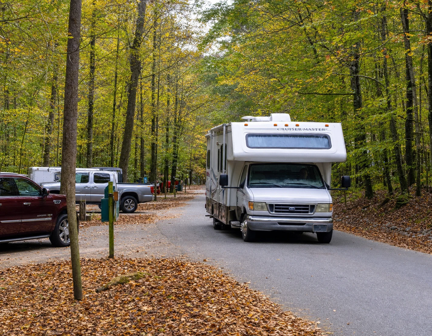
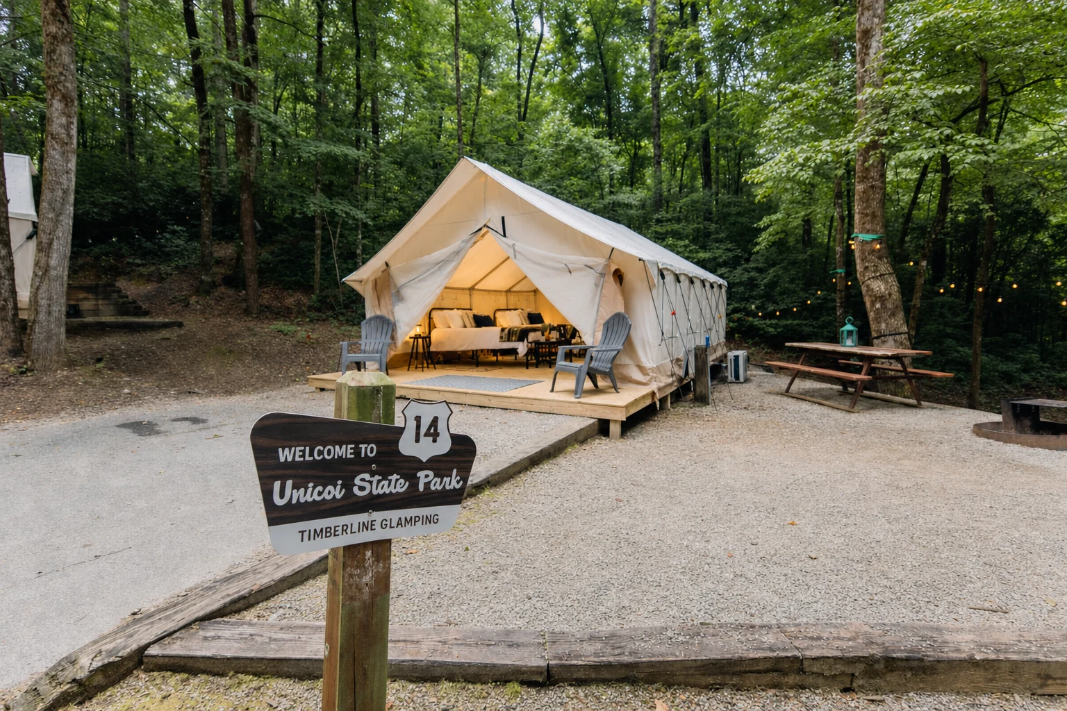
Related Imagery from Around Helen