Trails & Hiking Near Helen
Waterfall walks, Appalachian Trail summits, bike trails and easy forest paths, all within an hour of Helen
Start here
Hiking around Helen
Helen sits at about 1,440 feet in the upper Chattahoochee River valley, ringed by the Chattahoochee-Oconee National Forest. Within about 20 minutes of downtown you can walk a paved path to a double waterfall, ride bike-only trails at Unicoi State Park, or start an Appalachian Trail day hike at Unicoi Gap. The Georgia stretch of the Appalachian Trail is about 78.7 miles long, and Blood Mountain is its high point at roughly 4,450 feet.
The Appalachian Trail is close, and several of its best-known Georgia sections, Blood Mountain, Tray Mountain, and the Woody Gap to Neel Gap stretch, have trailheads within about 40 minutes of town (Unicoi Gap is about 15 miles away). For day hikers who want something easier, the waterfall trails to Anna Ruby Falls, Dukes Creek Falls, and Raven Cliff Falls are short hikes that need little beyond sturdy shoes and a water bottle.
What makes the Helen trail network special is its range. Families with young children, stronger hikers, backpackers, mountain bikers, trail runners, horseback riders and even rock climbers will each find a guide below. Here's a quick way to match a trail to your day.
| Trail | Distance | Effort | Fee |
|---|---|---|---|
| Helen to Hardman Trail | About 1 mile, flat, ADA accessible | Easy | Free |
| Anna Ruby Falls Trail | 0.4 mile each way, paved, some steep sections | Easy | $6 for ages 16 and up |
| Lake Loop Trail (Unicoi) | 2.5-mile loop | Easy | ParkPass for parking ($10 per vehicle per day) |
| Dukes Creek Falls Trail | 2.2 miles round trip | Moderate | $4 per vehicle |
| Raven Cliff Falls Trail | 2.6 miles each way, creek crossing | Moderate | $5 per vehicle |
| Mount Yonah | About 2.3 miles each way, 1,500-foot climb | Strenuous | See the trail guide |
| Blood Mountain | About 2.4 steep miles each way from Neel Gap | Strenuous | See the trail guide |
Browse Trails & Adventures
Trail guides covering waterfall hikes, AT summits, biking, climbing and more.
 Easy
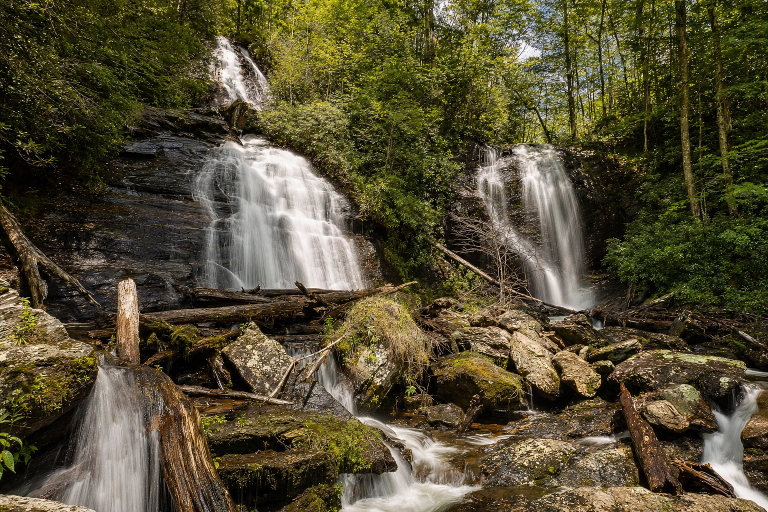
Anna Ruby Falls Trail
A paved 0.4-mile trail each way to a pair of waterfalls, Curtis Creek (about 153 feet) and York Creek (about 50 feet). It has some steep sections, so it isn't wheelchair accessible. $6 for ages 16 and up.
View trail guide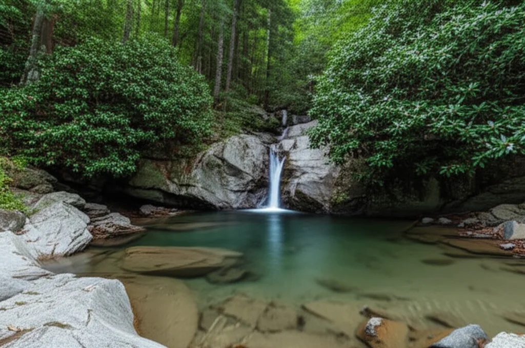 Moderate
Dukes Creek Falls Trail
A moderate 2.2-mile round trip into a forested gorge to Dukes Creek Falls, run by the Forest Service ($4 per vehicle). You go down first, so the climb comes on the way back.
View trail guide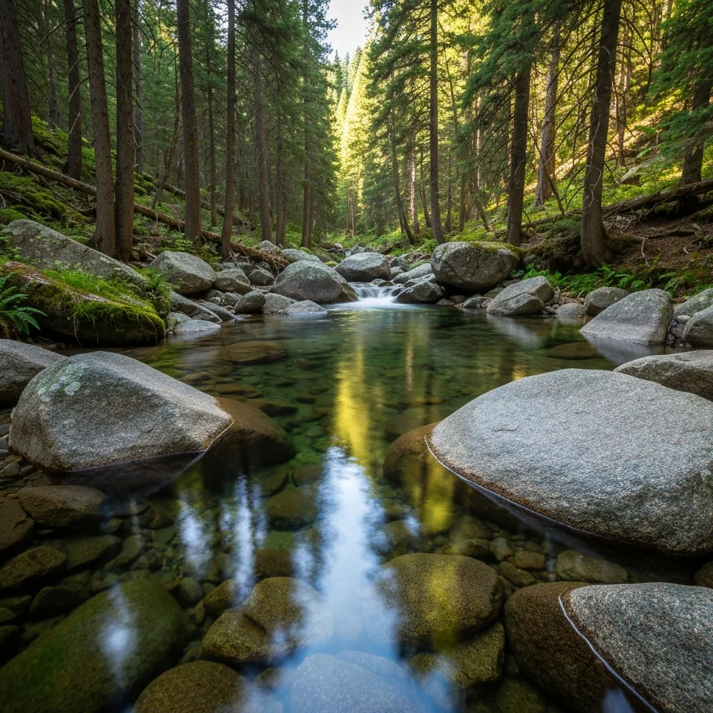 Moderate
Raven Cliff Falls Trail
A Forest Service trail of 2.6 miles each way into the Raven Cliffs Wilderness, with a creek crossing that can run calf-deep. $5 per vehicle.
View trail guide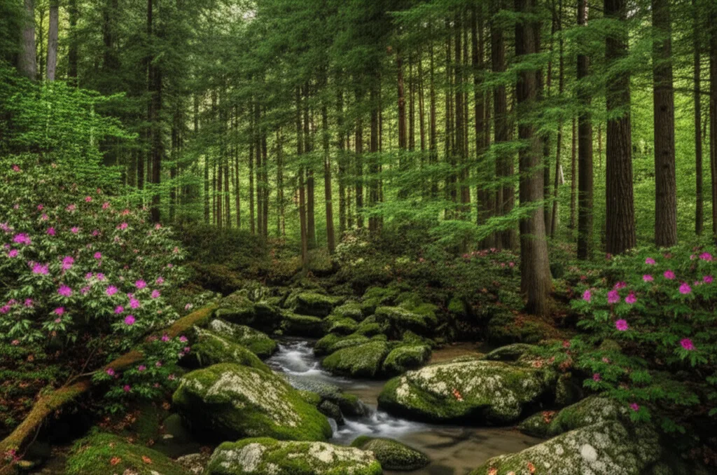 Strenuous
Raven Cliff Wilderness
A 9,115-acre federally designated wilderness area with rugged backcountry trails, pristine streams, and some of the most remote terrain in north Georgia.
View trail guide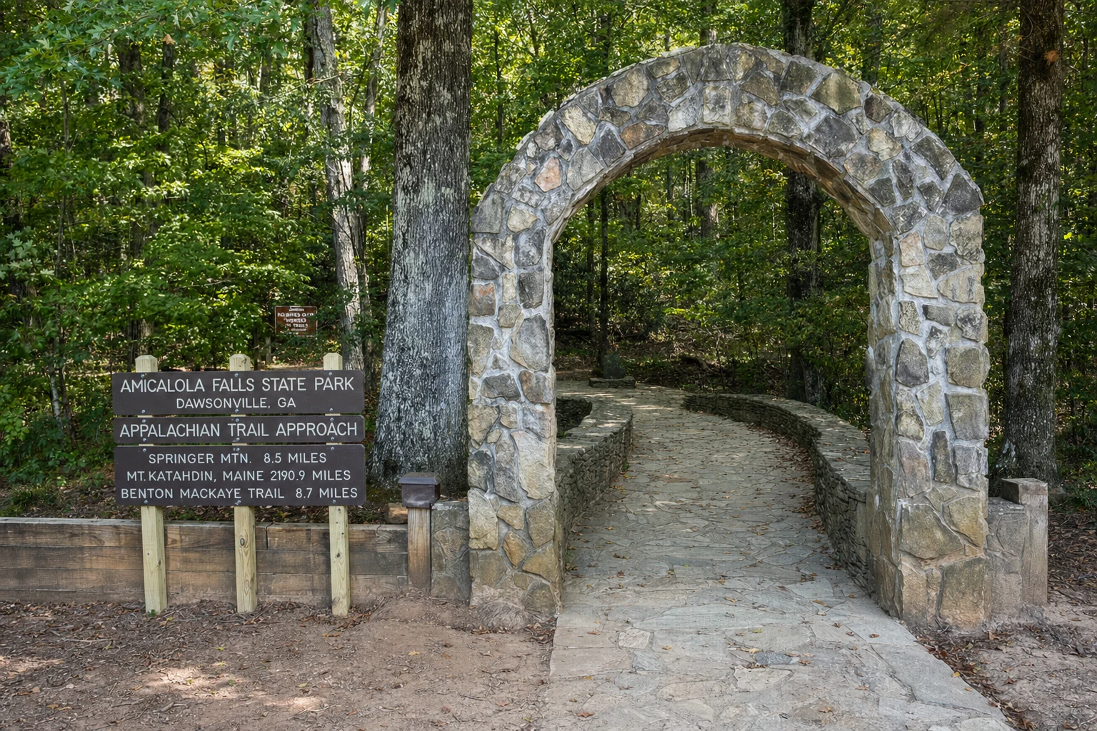 Easy
Helen to Hardman Trail
A flat, ADA-accessible mile along the Chattahoochee River between Alpine Helen and Hardman Farm State Historic Site. Free, pet friendly and closed to cars.
View trail guide Easy Helen to Unicoi Trail
A foot-traffic-only trail of about 3 miles each way between Helen and Unicoi State Park. Parking at Unicoi needs the $10 ParkPass.
View trail guide Easy
Lake Loop Trail (Unicoi)
An easy 2.5-mile loop around 53-acre Unicoi Lake, a great leaf-looking walk according to the state park trail map. ParkPass required for parking.
View trail guide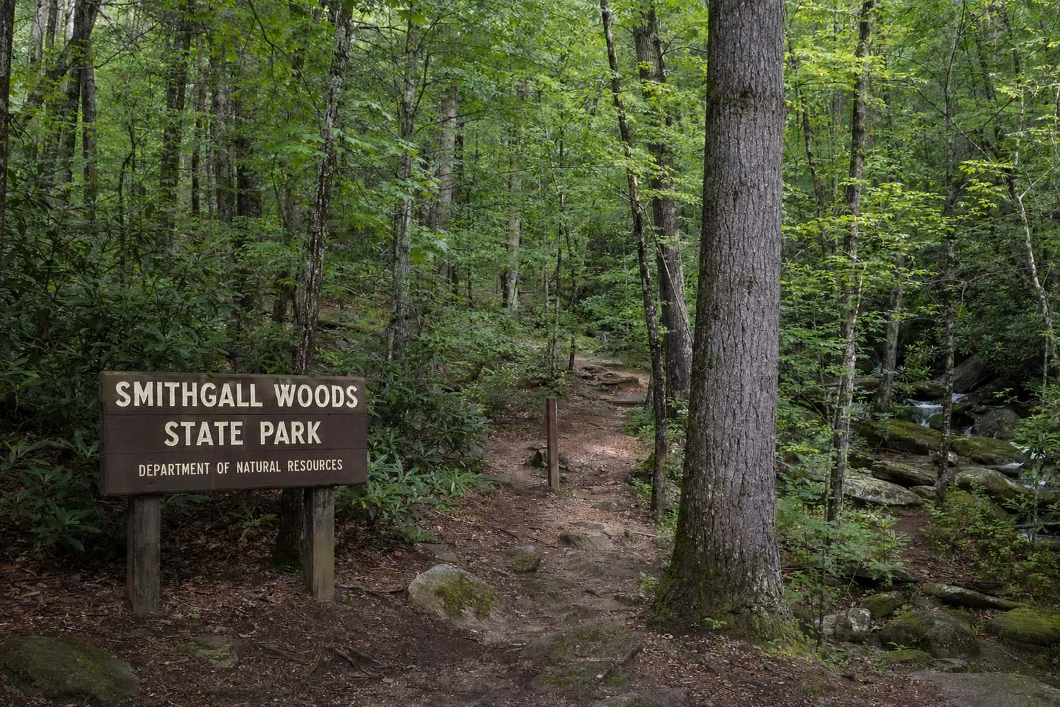 Moderate
Laurel Ridge Trail
A 1.6-mile moderate interpretive loop at Smithgall Woods State Park that climbs to a ridge with seasonal mountain views. $10 ParkPass; register at the visitor center.
View trail guide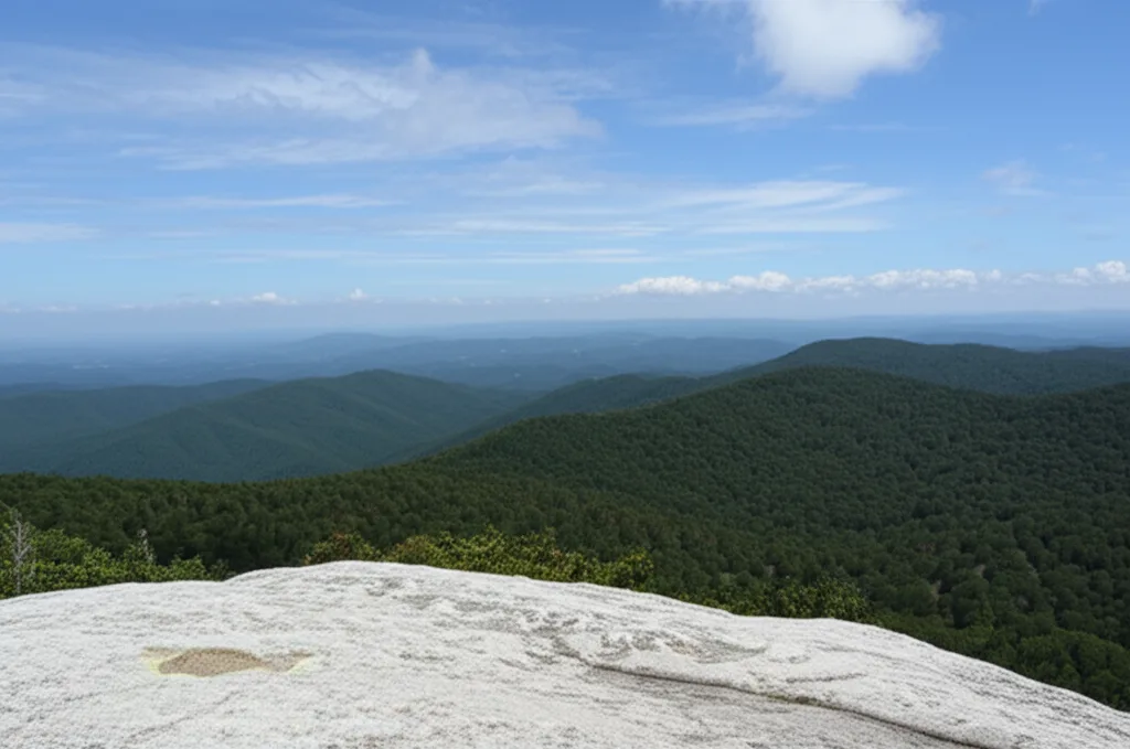 Strenuous
Blood Mountain
The highest point on the Georgia Appalachian Trail at about 4,450 feet. The climb from Neel Gap is roughly 2.4 steep miles each way, with a stone shelter near the top.
View trail guide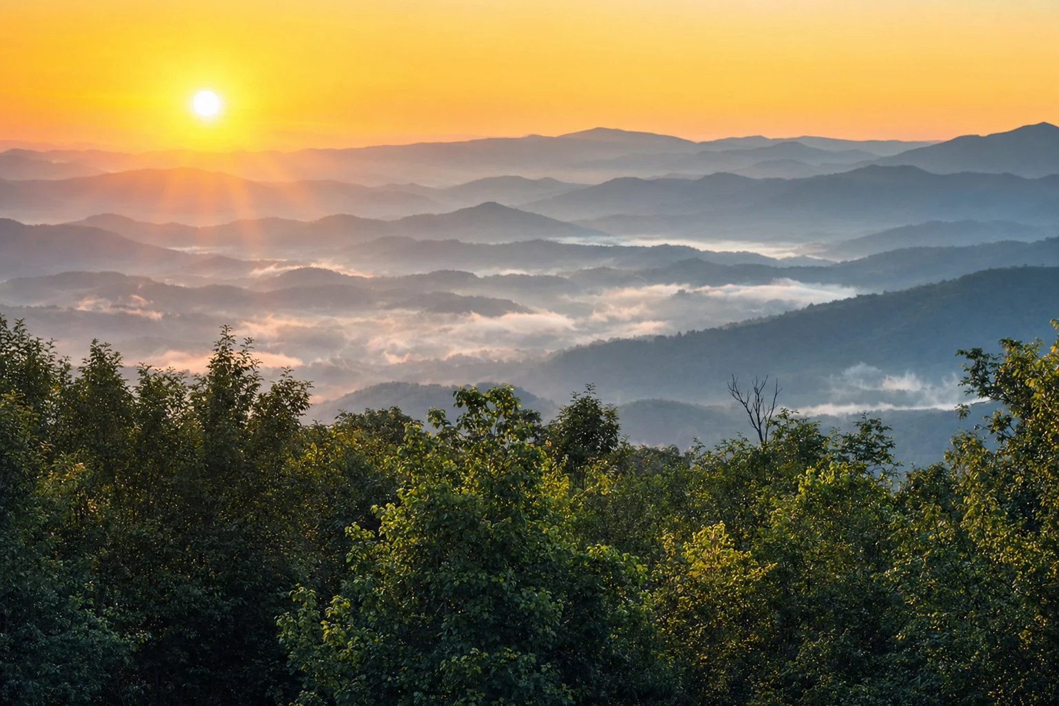 Strenuous
Mount Yonah
A strenuous climb of about 2.3 miles each way and 1,500 feet to a granite summit at 3,166 feet. The Army's Ranger school uses the mountain for training.
View trail guide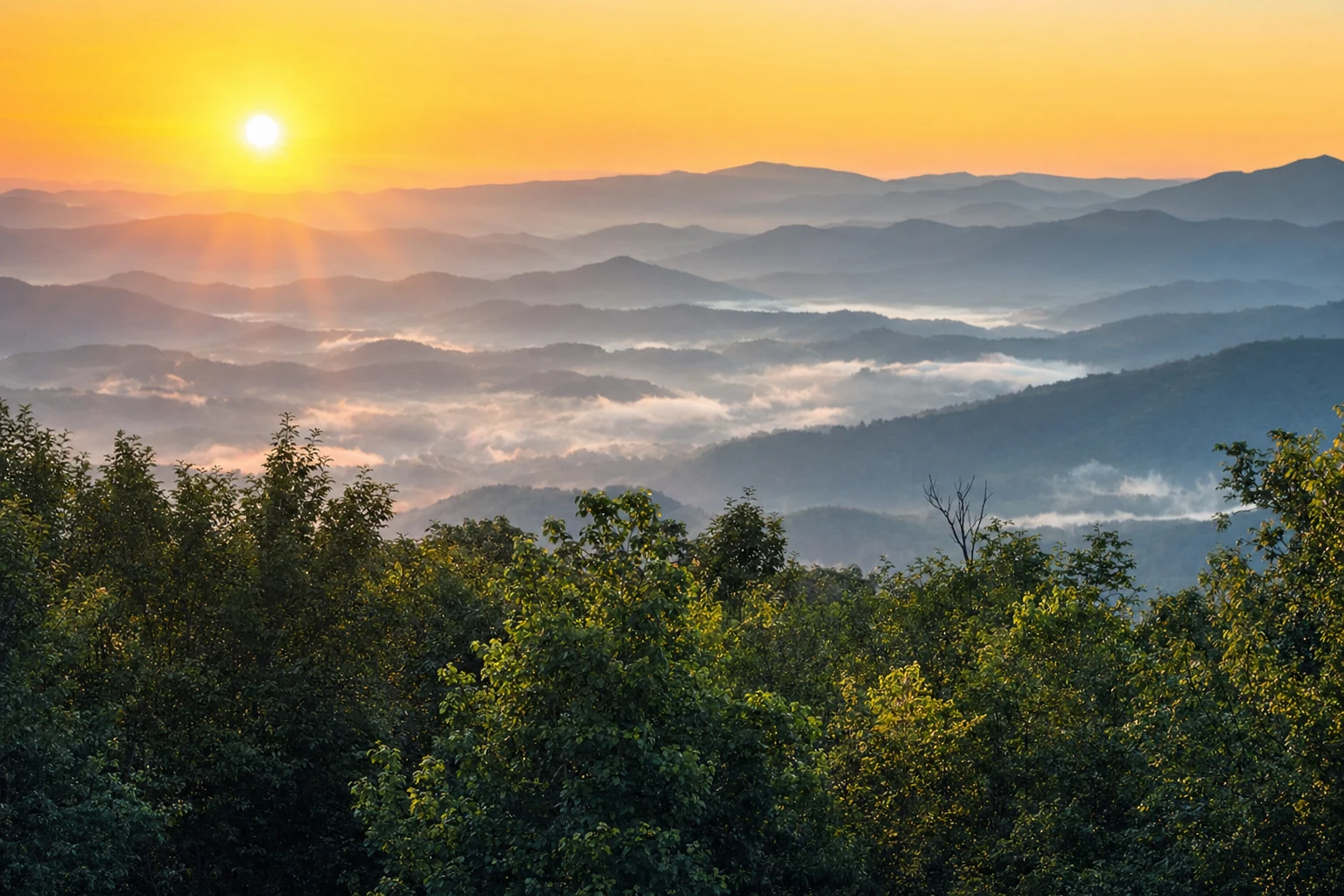 Strenuous
Tray Mountain
A strenuous hike to Tray Mountain at 4,398 feet (GATC mileposts) on the Appalachian Trail, with rocky, open views. Shorter from Tray Gap.
View trail guide Strenuous Rabun Bald
Georgia's second-highest peak at 4,696 feet, with long views into the Carolinas from the top. Check the trail guide for current distances.
View trail guide AT Section Appalachian Trail: North Georgia Section
A guide to the 78.7 miles of the Appalachian Trail in Georgia, from Springer Mountain to Bly Gap, with mileposts, shelters and day hikes from Unicoi Gap.
View trail guide AT Section
Springer Mountain & the AT
The southern end of the Appalachian Trail at 3,782 feet, reached on foot from the Forest Service Road 42 parking (about a mile) or by the Approach Trail from Amicalola Falls.
View trail guide AT Section Woody Gap to Neel Gap
An 11.1-mile stretch of the AT between Woody Gap and Neel Gap over Big Cedar Mountain and Blood Mountain, one of the busiest segments in Georgia.
View trail guide Strenuous Tray Mountain Wilderness
A remote 9,702-acre wilderness along the Appalachian Trail with high-elevation ridge hiking and streams.
View trail guide Moderate Rhododendron Tunnel
Where to find thick rhododendron along trails near Helen, with the best bloom in June.
View trail guide Easy Martins Mine Trail
A 0.9-mile moderate loop at Smithgall Woods State Park with gold-mining history, a vertical mine shaft and a waterfall view.
View trail guide Easy
Moonshine Heritage Trail
A history-and-tasting guide: North Georgia's moonshine story from the 1700s through Prohibition, and craft distilleries within an hour of Helen.
View trail guide Biking Mountain Biking in North Georgia
Where to ride near Helen: bike-only trails at Unicoi State Park, the beginner-friendly Yonah Preserve and the bigger Bull and Jake Mountain trails near Dahlonega.
View trail guide Biking
Unicoi Mountain Bike Trails
Bike-only trails at Unicoi State Park, rated strenuous to moderate, about 10 minutes from downtown Helen. ParkPass applies.
View trail guide Climbing Rock Climbing at Mount Yonah
A guide to climbing on Mount Yonah's granite, a long-time training ground for climbers near Helen.
View trail guide Horseback Riding Trails
Guided horseback rides and equestrian trails through the Blue Ridge foothills near Helen, with options for beginners and experienced riders alike.
View trail guide Running North Georgia Running Trails
A runner's guide to the best trail running routes near Helen, from flat riverside paths to challenging mountain ascents, with race event info and training tips.
View trail guideTrail Tips from Local Experience
Practical advice for hiking safely and enjoyably in the north Georgia mountains.
Start early, especially in summer
Trailhead parking at popular spots like Anna Ruby Falls and Blood Mountain fills up by mid-morning on weekends. Arriving early at Blood Mountain, or right at Anna Ruby's 9 AM opening, gets you a spot and cooler temperatures. Afternoon thunderstorms are common from June through August; plan to be off exposed ridgelines by early afternoon.
Layer up at elevation
Temperatures drop roughly 3-5 degrees for every 1,000 feet of elevation gain. A comfortable 75-degree day in Helen can feel like 60 degrees on Blood Mountain's summit at about 4,450 feet. Always bring a light jacket or fleece, even in summer, and carry rain gear year-round.
Water and the basics
Carry at least one liter of water per person for every two hours of hiking. The streams look pristine but should be filtered before drinking. For any hike over 3 miles, bring a trail map (cell service is unreliable in the forest), a headlamp, basic first aid, and more food than you think you need.
Seasonal trail conditions
Spring brings mud and swollen creek crossings but also wildflowers and waterfalls at peak flow. Summer means lush green canopy and occasional afternoon storms. Fall color on the high ridges usually peaks around the end of October. Winter offers solitude and long views through bare trees, but icy sections on north-facing slopes above 3,500 feet.
Parking and access fees
Anna Ruby Falls charges $6 per adult (16 and up) and nothing for kids 15 and under; it is a per-person admission and the Georgia ParkPass isn't accepted. Georgia state parks, including Unicoi and Smithgall Woods, charge $10 per vehicle per day ($70 a year); at Smithgall Woods every visitor also registers at the visitor center. Forest Service sites vary: Dukes Creek Falls is $4 per vehicle and Raven Cliffs is $5.
Wildlife and safety
Black bears live throughout the Chattahoochee-Oconee National Forest. Make noise on the trail, store food properly, and never approach wildlife. Copperheads and timber rattlesnakes are occasionally seen on rocky trails in warmer months; watch where you step and place your hands. Ticks are active March through November; check yourself thoroughly after every hike.
New to Hiking Near Helen?
If this is your first visit, start with the Anna Ruby Falls Trail for an easy, rewarding waterfall walk, then try the Helen to Unicoi Trail for a peaceful forest stroll. Ready for more? Blood Mountain is the classic north Georgia summit hike that every serious hiker should do at least once. Check our nature guide for broader outdoor exploration beyond the trail.
Continue Exploring
More guides to help you plan your outdoor adventure in Helen.
State parks, wildlife, waterfalls, and mountain ecology
Waterfalls, state parks and landmarks
Brasstown Bald, Tallulah Gorge and mountain drives
Cabins, hotels and campgrounds near the trailheads