Alpine Adrenaline: A Comprehensive Guide to Mountain Biking in North Georgia
Flow trails, technical singletrack, and shuttle-served descents on the ridges around Helen
Regional Diversity: The North Georgia mountains offer a distinct dichotomy of riding experiences, ranging from the manicured, flow-style trails of the Yonah Preserve to the rugged, backcountry "baby head" rocks of the Bull Mountain IMBA Epic.
The "Alpine" Hub: Helen, Georgia, serves as the primary logistical base for riders, offering immediate access to Unicoi State Park and shuttle services, though the most extensive trail systems are located in adjacent White and Lumpkin Counties.
Infrastructure Evolution: While classic trails like the Unicoi Loop date back to NORBA racing heritage, new developments at Yonah Preserve and Jarrod’s Place (a gravity park) represent a modern shift toward machine-built, sustainable trails.
Key Points
Regional Diversity: The North Georgia mountains offer a distinct dichotomy of riding experiences, ranging from the manicured, flow-style trails of the Yonah Preserve to the rugged, backcountry "baby head" rocks of the Bull Mountain IMBA Epic.
The "Alpine" Hub: Helen, Georgia, serves as the primary logistical base for riders, offering immediate access to Unicoi State Park and shuttle services, though the most extensive trail systems are located in adjacent White and Lumpkin Counties.
Infrastructure Evolution: While classic trails like the Unicoi Loop date back to NORBA racing heritage, new developments at Yonah Preserve and Jarrod’s Place (a gravity park) represent a modern shift toward machine-built, sustainable trails.
Logistical Complexity: Riders must navigate a patchwork of land managers (US Forest Service vs. State Parks), fee structures (daily parking passes vs. trail-specific fees), and seasonal hours, particularly regarding shuttle services which operate primarily during Daylight Saving Time.
Introduction: The Topography of the Blue Ridge
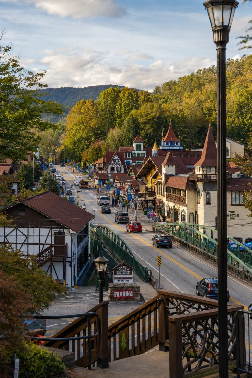
The North Georgia mountains, representing the southern terminus of the Blue Ridge chain, provide a geologically distinct environment for mountain biking. Characterized by steep ridges, deep ravines filled with rhododendron "tunnels," and a red clay substrate that hardens into fast singletrack (or slick grease when wet), this region has evolved into a premier cycling destination in the Southeastern United States. The area surrounding Helen - a re-creation of a Bavarian alpine village - offers riders access to the Chattahoochee National Forest, state park systems, and designated wilderness management areas.
This guide covers the trail systems, logistics, and riding conditions for each area, from the Unicoi State Park loops to the Bull and Jake Mountain complex, gravel roads near Suches, and the local outfitters that keep riders rolling.
Unicoi State Park & The Helen Immediate Area
Located less than two miles from downtown Helen, Unicoi State Park serves as the most accessible trailhead for visitors lodging in the village. The park features a mix of recreational amenities, but its specific mountain biking infrastructure is historically significant, having hosted regional and national NORBA (National Off-Road Bicycle Association) events in the past.
The Unicoi Mountain Bike Loop
The primary draw within the park boundaries is the Unicoi Mountain Bike Trail, often referred to as the Unicoi Loop.
Distance & Configuration: The trail is a 7.5-mile loop, typically ridden in a counter-clockwise direction. It is laid out in a "figure-eight" pattern, utilizing the topography of Smith Creek to separate the "Unicoi side" from the "Helen side".
Difficulty: Rated as Intermediate to Strenuous. The trail was designed for racing, meaning it lacks the manicured "flow" of modern trails. Riders should expect steep, punchy climbs, tight switchbacks, and root-heavy sections. The terrain gains approximately 1,000 feet in elevation, offering a significant aerobic challenge.
Trailhead Access: The trail is accessed via the Angler/Mountain Biking parking area. From GA-356, just east of the Unicoi Lodge turnoff, riders take the first paved road to the right to reach the dedicated lot.
Fees: Access requires a two-tiered payment. First, a $5.00 Georgia State Park daily parking pass is required for the vehicle (unless a $50 annual pass is held). Second, a specific Mountain Bike Permit is required for trail use. As of the most recent data, this is $2.00 daily or $25.00 annually.
Future Fee Changes: Researchers should note that the Georgia Department of Natural Resources has approved a fee increase effective January 1, 2026, raising the daily vehicle parking fee to $10.00 and the annual pass to $70.00.
The Unicoi to Helen Trail
While primarily a hiking trail, this 3-mile (one-way) connector is notable for its geography. It runs from the Unicoi Lodge to Unicoi Hill City Park in downtown Helen. It is rated Moderate-Strenuous due to varied terrain, but it is critical to note that sections of park trails are often restricted to foot traffic. Cyclists should strictly adhere to the designated 7.5-mile loop unless signage explicitly permits multi-use on connectors.
The Hickory Nut Trail (Backcountry Expert)
For advanced riders seeking a "raw" experience, the Hickory Nut Trail represents one of the most technical descents in Georgia.
Character: This is a backcountry trail, not a park loop. It spans approximately 19 miles if ridden as a full loop, but is often utilized as a shuttle run (descending only). The trail drops roughly 2,500 feet over its course.
Terrain: The trail is famous for "baby heads" - loose, round rocks that make handling precarious. It is isolated, with high consequences for mechanical failures or injuries.
Access: The upper trailhead is accessed via Tray Mountain Gap (Forest Service Road 79). The descent terminates near Unicoi State Park.
Status: As an unmaintained Forest Service road/trail conversion, conditions vary wildly. Downed trees and overgrowth are common. It is considered a "black diamond" experience.
Outfitter Profile: Woody's Mountain Bikes
Established in 1996, Woody's Mountain Bikes is the cornerstone of cycling logistics in the Helen area. The shop specializes in rentals and shuttle services, making high-elevation rides accessible to tourists without two-vehicle convoys.
Location: 457 Highway 356, Helen, GA 30545.
Contact: (706) 878-3715.
Hours of Operation: Tuesday through Saturday, 10:00 AM to 5:00 PM. The shop operates seasonally, aligning closely with Daylight Saving Time.
Signature Service: "The Gap Ride"
This is the shop's most popular offering for families and beginners. It is a self-guided, 14-mile ride primarily on Forest Service roads (gravel/dirt), not technical singletrack.
Yonah Preserve: The Modern Standard
Located roughly 9 miles south of Helen in Cleveland, Georgia, the Yonah Preserve Trails represent the new wave of sustainable, flow-based trail building in the Southeast. Opened to the public around 2018, this system was constructed through a partnership between White County and the Northeast Georgia chapter of SORBA (Southern Off-Road Bicycle Association).
Address: 1054 Albert Reid Road, Cleveland, GA 30528.
Trail System Stats:
Current Mileage: Approximately 11 miles of trails are currently active, with active expansion plans to reach a total of 20+ miles.
Terrain Style: Unlike the rugged rocks of Unicoi, Yonah features machine-cut, compacted clay surfaces. The trails are designed to be fast and "flowy," with bermed corners and optional jump lines.
Difficulty: The system is heavily weighted toward Beginner (Green) and Intermediate (Blue) riders. The Creek Trail (#200) and Cherokee Trail (#100) are the core loops. The terrain is relatively flat compared to the surrounding mountains, with manageable elevation changes (e.g., the Creek Trail has a 254' ascent/descent profile).
Bull Mountain & Jake Mountain: The IMBA Epic
For endurance riders and dedicated mountain bikers, the Bull and Jake Mountain Trail System is the premier destination in North Georgia. Located in Lumpkin County near Dahlonega (approx. 20 miles west of Helen), this extensive network is designated as an IMBA Epic (International Mountain Bicycling Association), a title reserved for demanding, high-quality backcountry rides.
System Overview
The system is comprised of two distinct but connected networks - Bull Mountain and Jake Mountain - totaling nearly 50 miles of multi-use trails (shared with equestrians and hikers).
Location: Access is primarily via Nimblewill Church Road, off GA Hwy 52.
Jake Mountain Parking: Located directly off Nimblewill Church Rd.
Bull Mountain Parking: Accessed via Forest Service Road 28-1, approximately 1 mile from the Jake lot.
Elevation Data: The full IMBA Epic route is grueling. It covers approximately 24 miles with 3,559 feet of climbing and a maximum elevation of 2,665 feet.
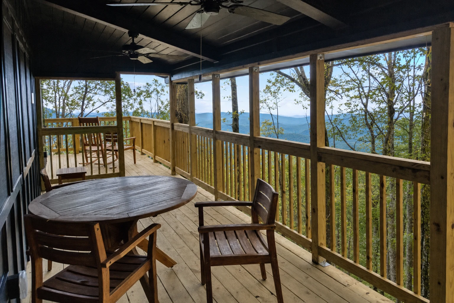
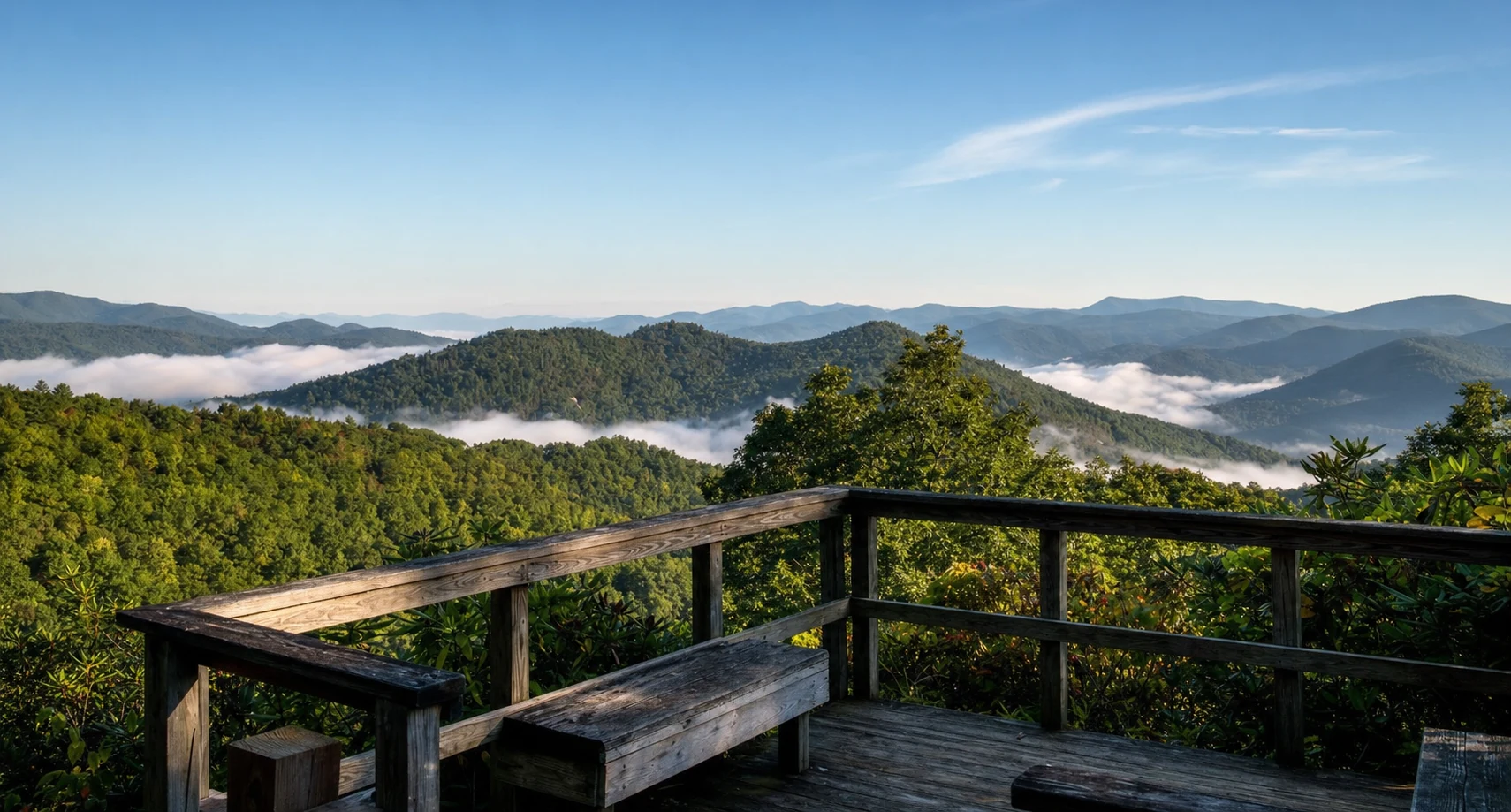
Related Imagery from Around Helen