Tray Mountain Wilderness
Your guide to tray mountain wilderness in Helen, Georgia and the Blue Ridge Mountains
Discover the Untamed Beauty of Tray Mountain Wilderness
The Tray Mountain Wilderness covers 9,702 acres in the Chattahoochee-Oconee National Forest, and it feels genuinely wild. The peaks top out above 4,400 feet, the trails are rocky and steep, and you won't find many other people out here on a weekday. For hikers and backpackers looking for real backcountry near Helen, this is the place to go.
Historical Context
The Tray Mountain Wilderness was officially designated on January 3, 1986, as part of the Georgia Wilderness Act, which safeguarded several areas within the Chattahoochee National Forest to preserve their primitive character. This legislation created Tray Mountain alongside neighbors like the Raven Cliffs, Brasstown, Rich Mountain, and Cohutta Wilderness areas, reflecting a national push under the Wilderness Act of 1964 to protect untouched lands from development.
The area's deeper roots trace back to the early 20th century when the U.S. Forest Service acquired over 31,000 acres in 1911 as part of the Nantahala and Cherokee National Forests; by 1936, it became the standalone Chattahoochee National Forest, with restoration efforts healing logging scars from the timber boom. Today, managed by the Chattooga Ranger District, it embodies the wild spirit of the Appalachians, where the Appalachian Trail (AT) has traversed its ridges since the trail's inception in 1937.
Geography and Elevation
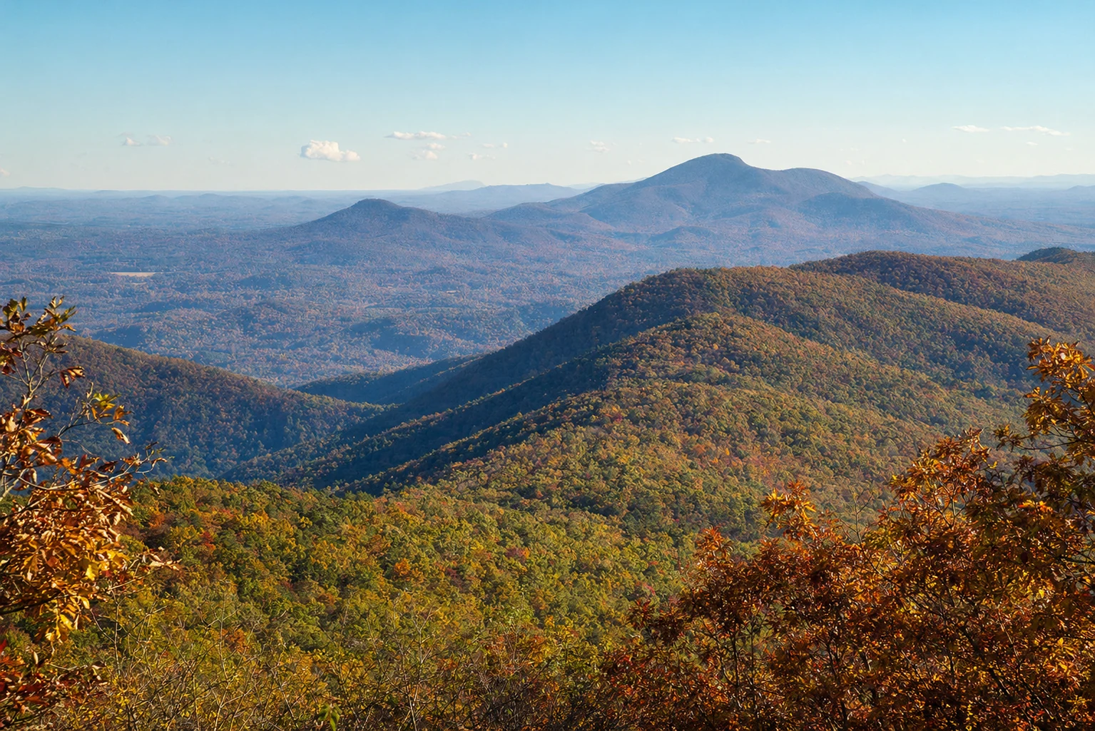
Tray Mountain Wilderness rises dramatically in Habersham, Rabun, Towns, and White counties, with its namesake peak crowning the landscape at 4,430 feet - the eighth-highest summit in Georgia. This elevation creates diverse microclimates, from misty balds at the top to lush coves along streams like the Soque River, which originates here.
The terrain features steep boulder fields, rhododendron thickets, and open vistas, with the AT following a remarkably level 16.5-mile ridge through the heart of the area. Surrounding peaks like Rocky Mountain (4,017 feet) and Chimney Mountain add to the rollercoaster profile, offering panoramic views of the Blue Ridge expanse.
Key Trails and Hiking Options
Appalachian Trail Summit Hike from Tray Gap
The crown jewel is the short but steep 1.6-mile roundtrip from Tray Gap parking to Tray Mountain's rocky summit, gaining 600 feet in 0.8 miles via switchbacks. Expect boulder scrambles, northern overlooks at 0.6 miles, and 360-degree vistas from the treeless top - perfect for day hikers seeking big rewards. As a first-time visitor, I summited on a crisp fall morning; the wind-whipped balds felt like stepping onto the roof of North Georgia, with layers of mountains fading into the horizon.
Moccasin Creek Trail
This trail connects from Moccasin Creek State Park (FS Rd. 698, Helen, GA 30545; phone: 706-754-6221) to the AT crest, showcasing giant buckeyes in Ramp Cove, wildflower pastures, and boulder fields. At about 4-5 miles roundtrip, it's moderately challenging with overlooks into valleys - insider tip: hit it post-rain for cascading streams and vibrant greens.
Rocky Mountain via Unicoi Gap
From Unicoi Gap (GA Hwy 75/17), tackle a 5-6 mile out-and-back over Rocky Mountain to Tray, climbing nearly 1,000 feet per mile amid rocky steeps. Views from both summits make it epic for ambitious day hikes; pack trekking poles for the descent.
Chimney Mountain Trail
Accessed via FS 79 or rougher roads, this side trail leads to exceptional views from 3,357-foot Chimney Mountain - allow 4WD for the final push, as the "parking" is a wide road bend. It's less crowded, rewarding solitude seekers with boulder-top panoramas.
All trails demand sturdy boots; the AT's 16.5 miles through the wilderness suit section hikers, with shelters at key spots.
Backcountry Camping
Dispersed backcountry camping thrives here under Chattahoochee-Oconee National Forest rules - no permits required for wilderness stays, but limit to 14 days in any 30-day period, staying 150 feet from trails/roads/water, and at least one person must occupy the site the first night. No camping within 200 feet of streams or near developed sites; pack out everything per Leave No Trace.
Prime spots cluster near AT shelters (e.g., Tray Mountain Shelter) or gaps like Indian Grave Gap, with sites for tents amid hardwoods. Fires are allowed in existing rings unless restricted (check fs.usda.gov/conf); use dead/down wood only, fully extinguish, and prefer stoves. Bears roam, so hang food 12 feet high/6 feet out or use canisters - insider: I've camped at Rocky Mountain base; the rustle of rhododendrons at dusk adds thrill, but secure snacks religiously.
Access Points and Practical Logistics
Main Trailheads
Tray Gap (Primary AT Access): From Helen, north on GA 17/75 ~9 miles, right on FS Rd. 79 (Tray Mountain Rd., gravel, 4WD recommended) 4-5 miles to gap parking (small lot, ~10-20 cars)..html) Coordinates ~34.81583°N 83.65694°W.
Unicoi Gap: Paved GA Hwy 75/17, ample parking but fills weekends; direct AT access.
Moccasin Creek: FS Rd. 698 off 17/75, near state park campground.
Rougher: FS 79 from east/west, Shelton Branch Rd; high-clearance needed.
Parking: Free but limited - arrive early weekends; no overnight at some without permission..html) Accessibility: Trails rugged, no ADA paths; steep grades challenge mobility aids.
What to Bring: Water filter (streams seasonal), bear bag/canister, headlamp, rain gear, map/compass/GPS (Gaia GPS app shines), first aid, bug spray (summer), layers (elevation swings 20-40°F daily). Cell service spotty; download offline maps. Fuel up in Helen; no services inside.
Seasonal Considerations and Best Times to Visit
Spring (April-May) bursts with wildflowers and milder temps (50-70°F), ideal for hiking minus crowds, though mud/rain slicks trails. Summer (June-Aug) brings heat/humidity (70-85°F, thunderstorms), lush greenery, but bugs and crowds peak - dawn starts beat the rush.
Fall (Sept-Oct) reigns supreme: foliage explodes in reds/oranges, crisp 40-70°F days, low precip - mid-Oct weekdays offer peak color solitude. Winter (Nov-Feb) delivers solitude/snow at elevation (20-50°F, ice), but gaps close, short days demand microspikes; magical for experienced snowshoers.
Avoid holiday weekends; check fs.usda.gov/conf for closures/fire bans.
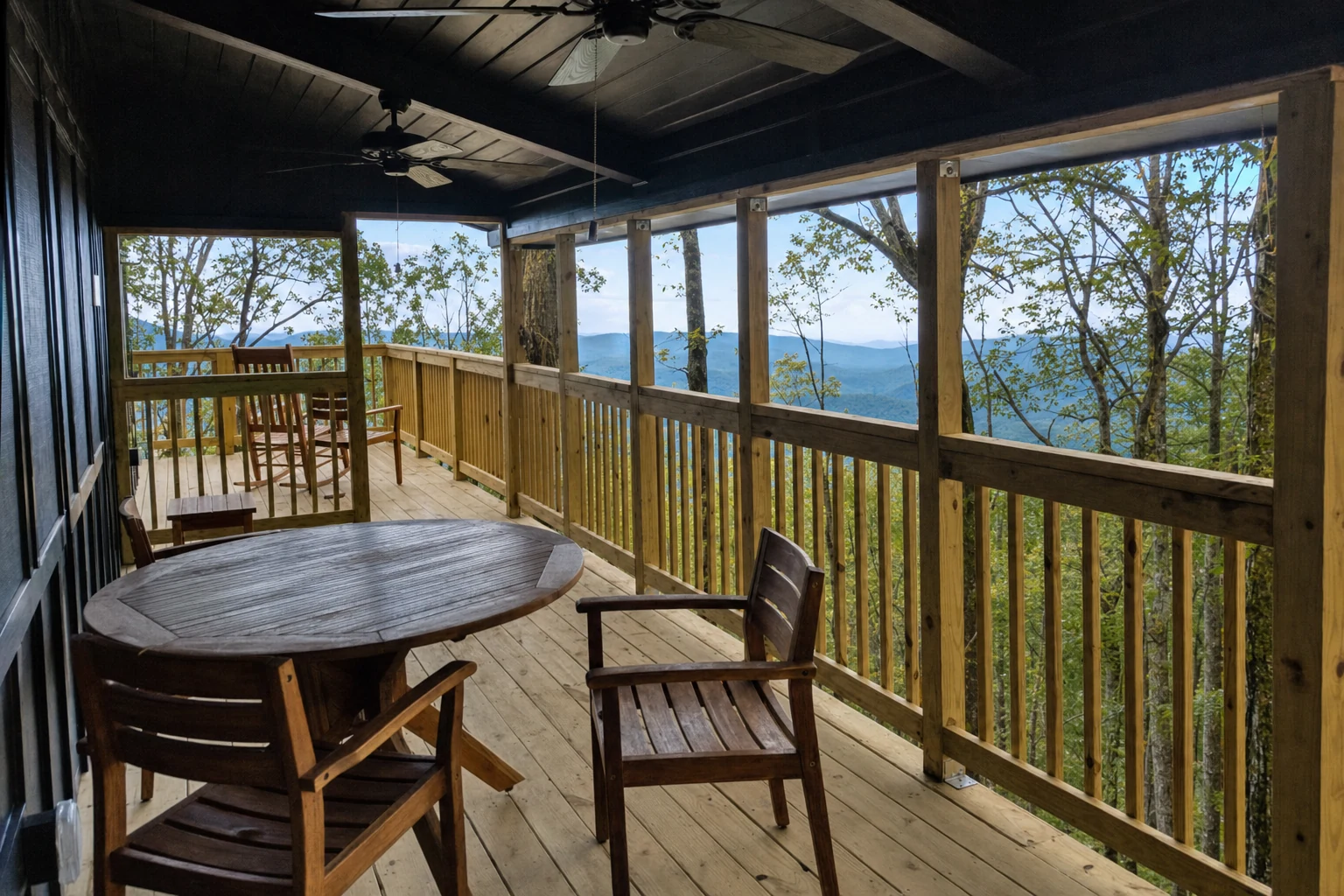
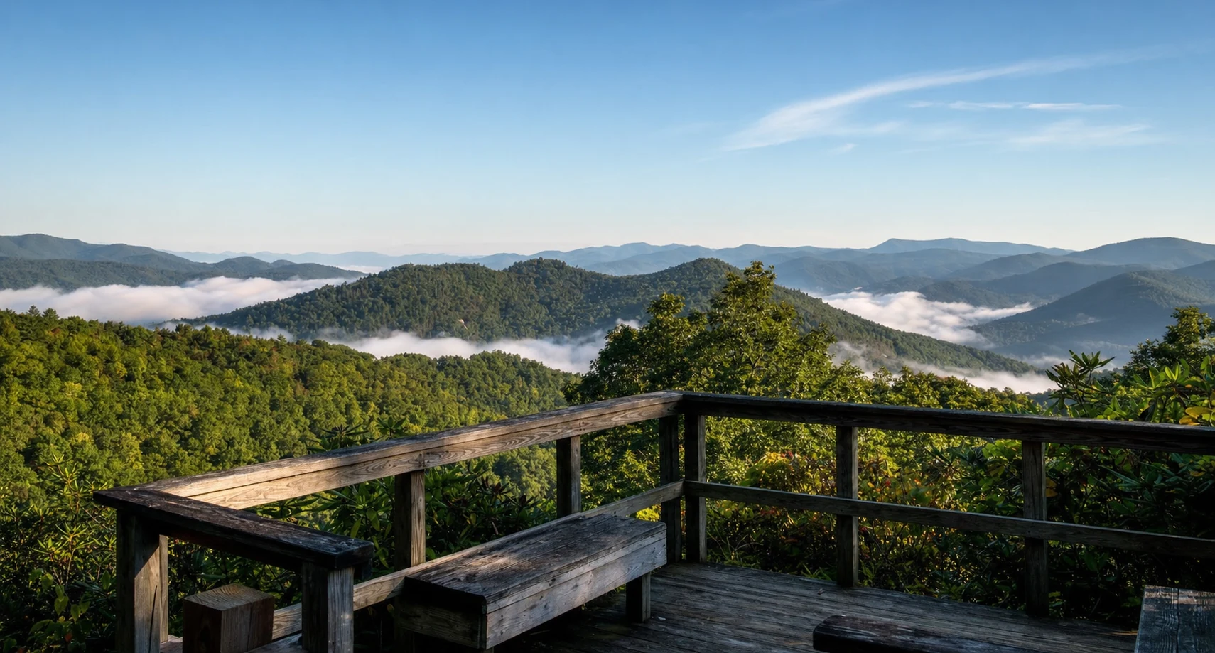
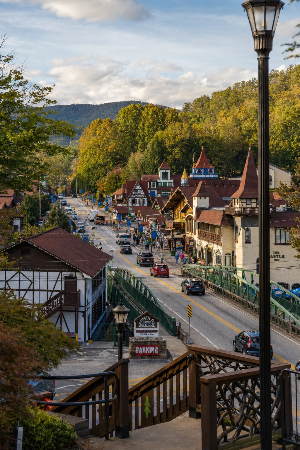
Related Imagery from Around Helen