Indigenous Culture and Native American Heritage in Helen, Georgia and North Georgia
Your guide to indigenous culture and native american heritage in helen, georgia and north georgia in Helen, Georgia and the Blue Ridge Mountains
Overview
The Helen, Georgia area and the surrounding North Georgia Blue Ridge Mountains hold a deep Indigenous history that most visitors never learn about. Long before anyone put Bavarian storefronts on Main Street, this valley was Cherokee territory, with villages scattered through the Nacoochee and Sautee regions. The story here goes back over 1,000 years, from ancient Mississippian societies to Cherokee communities, and it includes the forced removal that changed American history. You can still explore physical remnants of this heritage today, walk historic trails that once connected Native American towns, and see the cultural legacy that remains part of the North Georgia landscape.
The Ancient Mississippian Culture and Nacoochee Mound
Origins and Archaeological Significance
The Nacoochee Indian Mound is one of North Georgia's most important archaeological sites and the starting point for understanding the region's pre-Cherokee inhabitants. The mound was first occupied as early as 100-500 CE by Woodland culture people, but it reached its most significant development from 1350 to 1600 CE, when it served as the central point of a thriving Muskogean-speaking village belonging to the South Appalachian Mississippian culture. This regional variation of the broader Mississippian culture flourished across the Southeast and represented a sophisticated civilization with complex social hierarchies, religious practices, and agricultural systems.
The Nacoochee Mound represents far more than a simple burial ground - it was a monumental construction project built by generations of Native Americans, literally one basket-load of earth at a time. Archaeological evidence suggests the mound likely supported ceremonial structures and served as the residence of village leaders, while most residents lived on the flat land surrounding the artificial hill. The valley's location alongside the Chattahoochee River proved ideal for ancient settlement, providing rich soil for cultivating corn, beans, and squash - the foundation of Mississippian agricultural prosperity.
The 1915 Excavation and Artifacts
The definitive understanding of Nacoochee Mound came through a landmark archaeological expedition conducted from May through October in 1915 by joint teams from the Museum of the American Indian (Heyes Foundation) and the Bureau of American Ethnology of the Smithsonian Institution. This excavation uncovered 75 human burials, revealing crucial details about the mound's history and use patterns spanning from approximately 800 to 1700 CE.
The artifacts discovered at the site paint a vivid picture of Mississippian society and trade networks. Researchers found pottery sherds similar to those discovered at the Etowah Indian Mounds near Cartersville, suggesting these two major sites were occupied during the same time period and likely participated in shared cultural and economic systems. Particularly intriguing were artifacts indicating significant social stratification, including hammered copper celts and sheet ornaments, stone implements, conch shell beads, and decorated pottery. More recent discoveries - including European glass beads, a Spanish coin, and brass ornaments from the seventeenth century - demonstrate cultural contact and trade extending well into the colonial period.
Fire-pits found at various levels throughout the mound indicate it was used for different purposes across multiple centuries, with evidence suggesting both ritual and practical functions. The variation in artifact types and burial practices reflects subtle cultural changes over generations, possibly influenced by European contact and trade goods that began disrupting traditional Native American societies as early as the 1600s.
Cherokee Heritage and the Unicoi Turnpike
Cherokee Villages and Territorial Control
While the Nacoochee Mound was built by earlier Mississippian peoples, the Cherokee became the dominant Indigenous presence in North Georgia beginning well before European contact. Prior to 1800, the Helen and Nacoochee Valley area served as the center of Cherokee Indian culture, with villages scattered throughout the Sautee and Nacoochee valleys. The Cherokee recognized the strategic and spiritual importance of the ancient mounds and repurposed them for their own ceremonial practices. Archaeological and historical evidence indicates that the Cherokee constructed townhouses - central meeting and ceremonial structures - atop at least one of the four ceremonial mounds in Nacoochee Valley, adapting the ancient sites for their own cultural needs even while unaware of the sites' original Mississippian origins.
The area's villages were well-established communities with sophisticated governance systems, agricultural practices, and vibrant communal life. The Cherokee language, customs, and cultural traditions deeply influenced the landscape, and village names recorded in colonial-era documents reveal a geographically anchored people. Historical maps from the early 18th century specifically identified Cherokee towns such as Chote, Nocose, and Sokohi in the Upper Chattahoochee-Soque River Basin.
The Historic Unicoi Turnpike: First Intercultural Cooperation
One of the most remarkable chapters in Helen area history involves the Unicoi Turnpike, which today forms the backbone of Helen's main thoroughfare (Highway 17/75). The Unicoi Trail existed as a Native American pathway for over 1,000 years, serving as one of the most important trade and travel routes in the region. Beginning at the Tugaloo River east of present-day Toccoa and running through Nacoochee Valley, the trail crossed Unicoi Gap through present-day Hiawassee and continued to Murphy, North Carolina, and ultimately to Maryville, Tennessee. The word "Unicoi" itself derives from the Cherokee word "unega," meaning "white," and can be interpreted as "Place of the White" or "New Way" and "The New Beginning" - references that would prove tragically prophetic given subsequent events.
By 1810, the Unicoi Trail had become the principal route for trade and travel in northeast Georgia, and a group of Cherokee and white entrepreneurs recognized an opportunity for economic partnership. In what would become the first intercultural business collaboration in Georgia, they proposed converting the ancient trail into a proper toll road suitable for wagons. The Unicoi Turnpike Company was formed and applied for charters from Georgia and Tennessee. Critically, since the majority of the proposed roadway ran through Cherokee territory, construction could not proceed without Cherokee approval.
On March 8, 1813, the Cherokee Nation signed a treaty approving the project, demonstrating their technological sophistication and willingness to engage in modern infrastructure development. Under the agreement's terms, the Unicoi Turnpike Company would construct and operate the road, paying the Cherokee Nation $160 annually for 20 years, after which the road would theoretically revert to Cherokee control. Work progressed from 1813 until 1819, and when the road officially opened for traffic in 1819, it represented a remarkable moment of cooperation between Indigenous nations and settlers - though this partnership would prove short-lived given the political forces soon aligned against Cherokee sovereignty.
The turnpike's construction included "stands" - inn and rest stops positioned roughly every 15 miles to serve travelers and freight haulers. Many of these stands evolved into permanent communities, with Traveler's Rest in Toccoa surviving as a National Historic Landmark designated in 1964. Visitors traveling Helen's main streets today literally follow the same route pioneered by Cherokee traders and later formalized through this remarkable 1813 treaty.
The Trail of Tears and Forced Removal
Historical Context of Removal
The Unicoi Turnpike's opening in 1819 coincided with intensifying pressure on Cherokee sovereignty. The Indian Removal Act of 1830, signed by President Andrew Jackson, authorized the forced displacement of southeastern Indigenous nations. The Trail of Tears represents one of the darkest chapters in American history, resulting in the forced removal of approximately 16,000 Cherokee people from their ancestral homelands in Alabama, Georgia, North Carolina, and Tennessee in 1838.
The Cherokee community of North Georgia, which had built a sophisticated civilization along the Chattahoochee and its tributaries, faced devastation. The removal process was brutal: hundreds died during the journey itself from disease, malnutrition, and exposure, with thousands more perishing in the years immediately following arrival in Indian Territory (present-day Oklahoma). The journey covered approximately 1,200 to 1,500 miles and took nearly three months for overland routes.
Routes Through Georgia
Multiple removal routes passed through Georgia, with different detachments taking slightly different paths. Groups of Cherokee held in removal camps in Georgia were transported northward to consolidation points such as Ross's Landing (present-day Chattanooga, Tennessee). Some Cherokee in the Cedartown area were forced to assemble at Big Spring Park, where more than 200 individuals gathered as part of the removal process.
The northern route, which most Cherokee traveled, followed a northwesterly path from southeastern Tennessee through Nashville, Kentucky, southern Illinois, and eventually across the Mississippi River north of Cape Girardeau, Missouri. From there, the route continued through Missouri and the northwest corner of Arkansas to Indian Territory, following the Arkansas River ultimately to Fort Coffee and beyond to Sallisaw Creek, where the water route detachments had arrived by June 19, 1838.
Cherokee Nation's Current Legacy
Despite the tragedy of removal, the Cherokee Nation persists and thrives today with headquarters in Tahlequah, Oklahoma. Visitors can commemorate the Trail of Tears at multiple sites throughout the Southeast, and the Trail of Tears National Historic Trail now marks the removal routes and provides interpretive resources. The Cherokee Heritage Center in Tahlequah features a powerful exhibit with 16,000 hand-crafted beads, each representing a person who endured the forced journey.
Visiting Indigenous Heritage Sites Near Helen
Hardman Farm State Historic Site and Nacoochee Mound
The primary site for experiencing Indigenous heritage in the immediate Helen area is Hardman Farm State Historic Site, located at the junction of Georgia highways 17 and 75, approximately two miles south of Helen. The 173-acre property is immediately recognizable by its distinctive gazebo-topped Indian mound rising from an open cow pasture - one of North Georgia's most iconic landmarks visible directly from Highway 17.
Location and Accessibility: 143 Highway 17, Sautee Nacoochee, GA 30571
Phone: (706) 878-1077
GPS Coordinates: N 34° 41.088' | W 083° 42.497'
Hours and Admission:
Open Thursday through Sunday, March through December
Nearby Regional Cherokee Heritage Sites
While no additional Indigenous heritage sites exist immediately in Helen, the broader North Georgia and North Carolina region offers significant complementary experiences:
New Echota State Historic Site (approximately 50 miles southwest of Helen)
1211 Chatsworth Highway, Calhoun, GA 30701
(706) 624-1321
New Echota represents one of the most significant Cherokee sites in the nation and marks the official starting point of the Trail of Tears. In 1825, the Cherokee established their national capital here at the headwaters of the Oostanaula River, and it served as the seat of the Cherokee National Legislature. The site features 12 original and reconstructed buildings, including the Council House, Court House (where an important legal case proceeded to the U.S. Supreme Court), Print Shop, missionary Samuel Worcester's home, and an 1805 store. Outbuildings include historic smoke houses, corn cribs, and barns. The visitor center offers interpretive exhibits and a 17-minute orientation film, and nature trails lead to New Town Creek and a beaver pond.
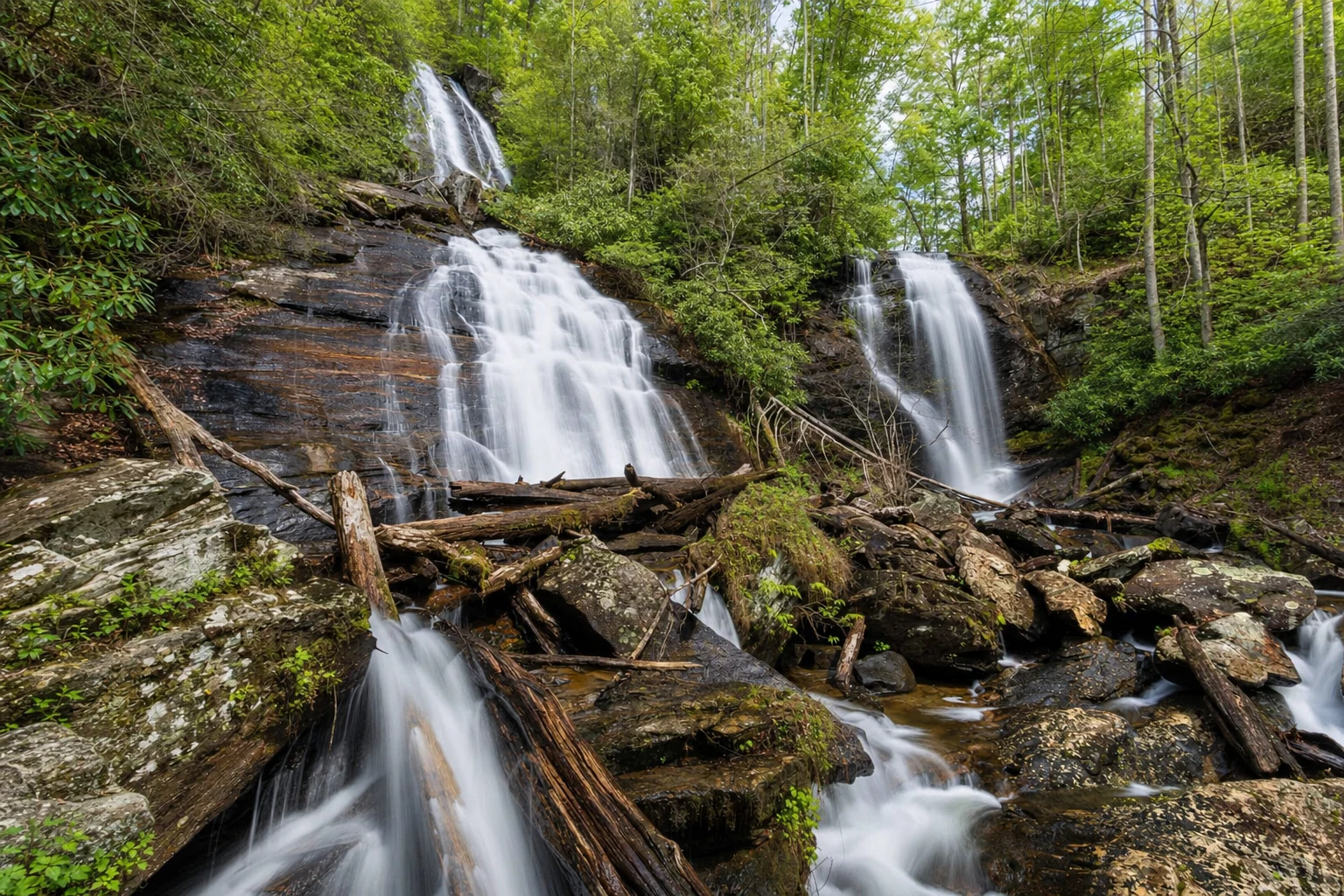
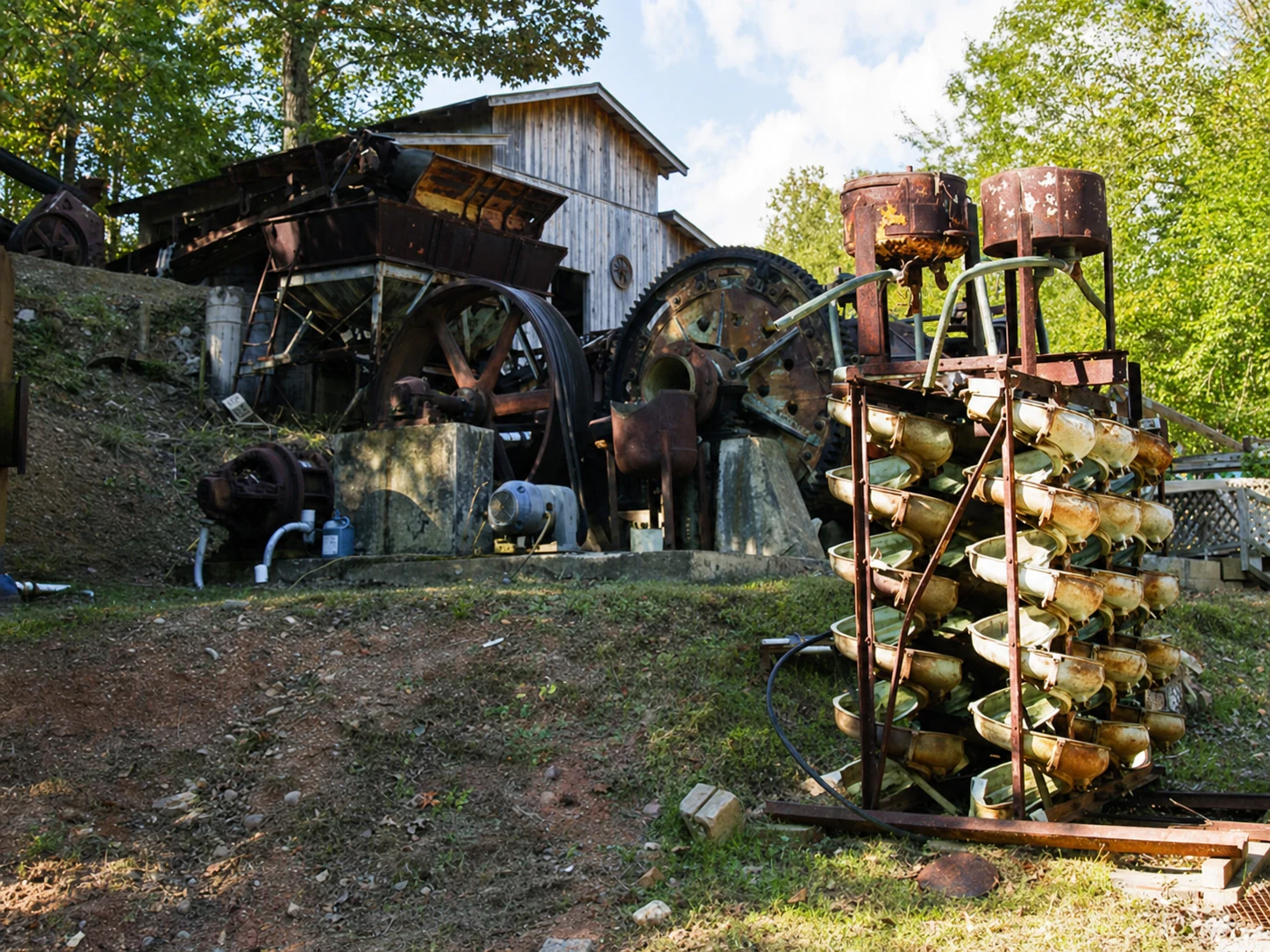
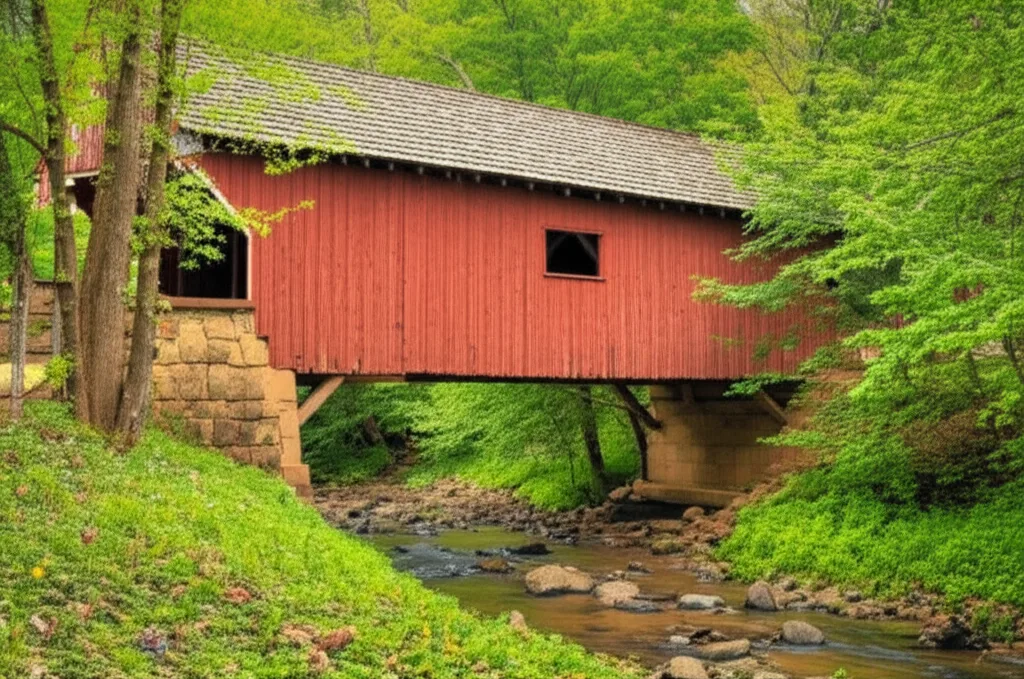
Related Imagery from Around Helen