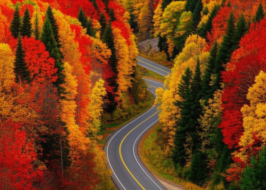
Motorcycle Routes & Touring
Curving mountain roads that start a few minutes from downtown Helen
The short answer
Why ride from Helen
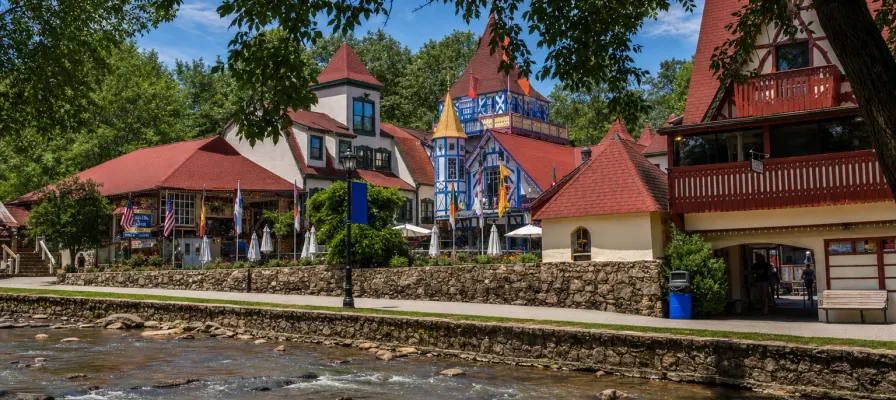
Helen sits at the foot of some of north Georgia's best riding. In 20 minutes you can be on GA-348 climbing toward the Appalachian Trail, and in an hour you can be on Wolf Pen Gap Road. Come back at the end of the day and you've got restaurants, biergartens and beds a few steps from where you park. The routes below start from downtown Helen.
| Route | Roads | Length / time | Good to know |
|---|---|---|---|
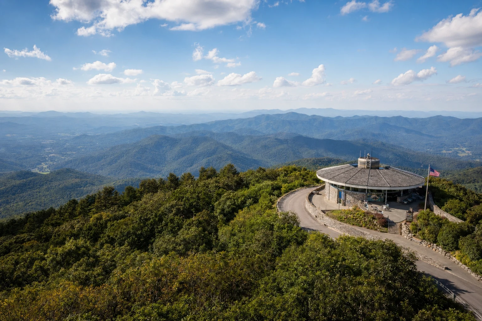
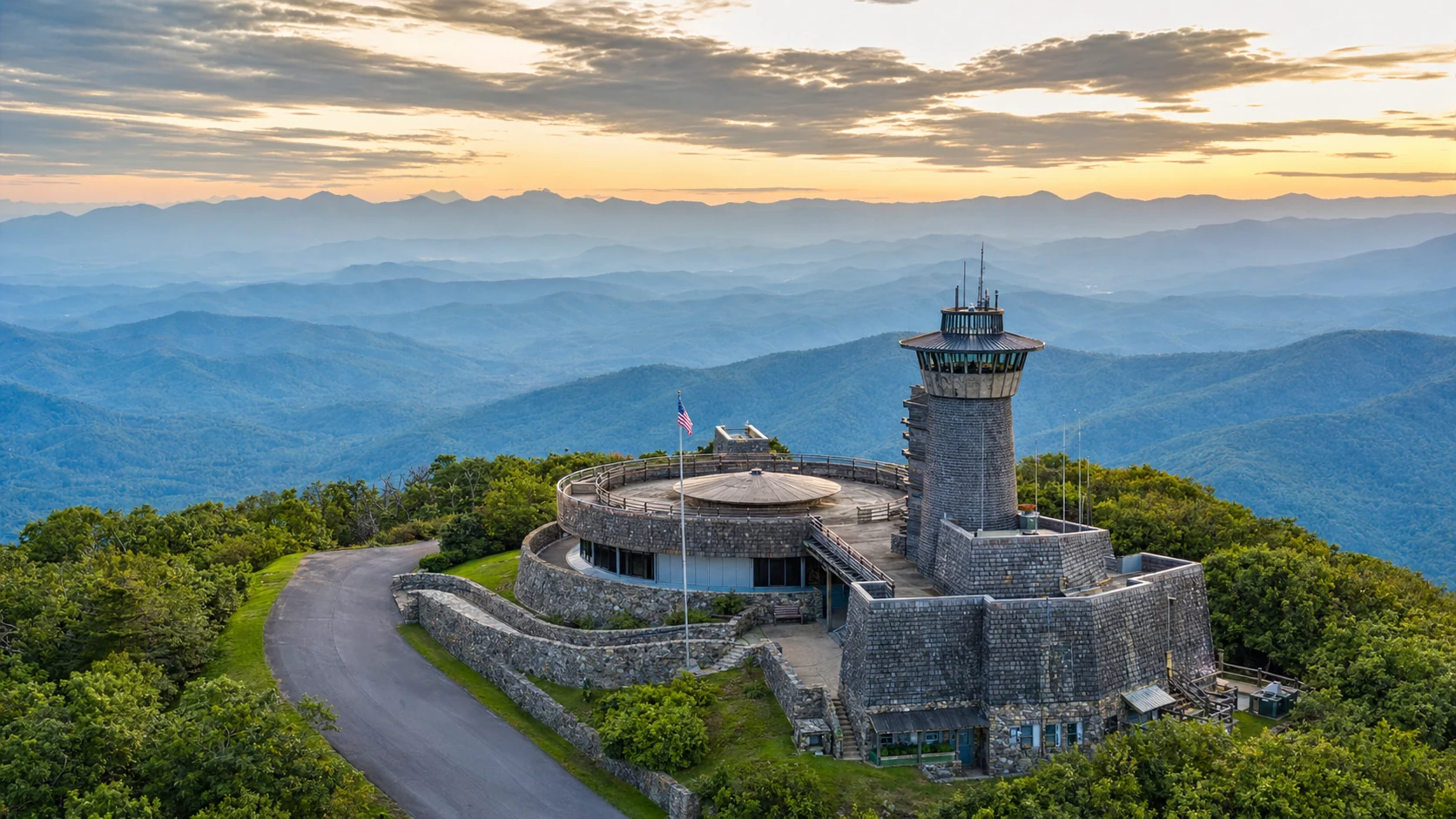
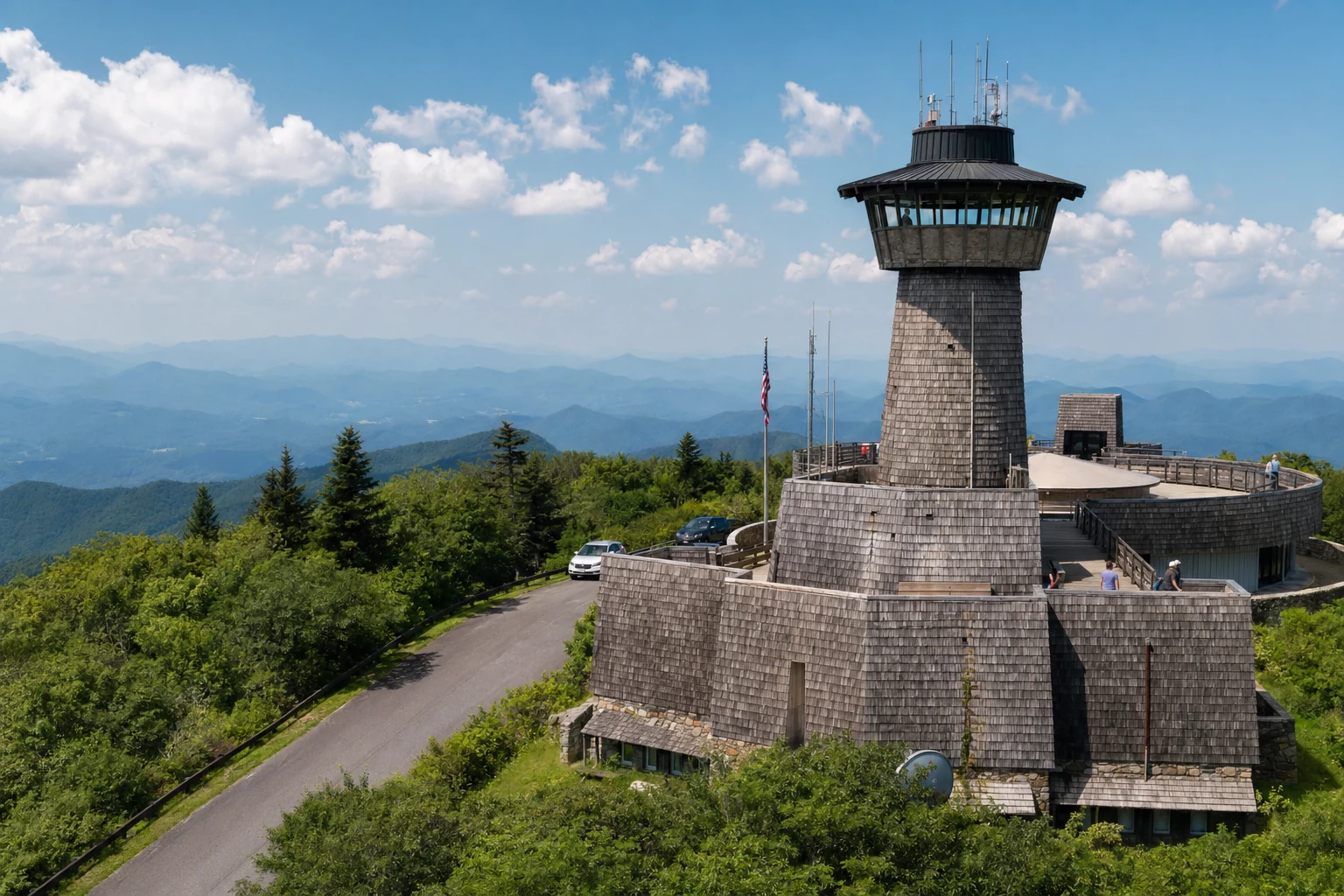
| Russell-Brasstown Scenic Byway | GA-348, GA-180 and GA-17/75 | 40-mile loop from Helen; plan 3+ hours | Passes the Dukes Creek Falls and Raven Cliffs trailheads, Hogpen Gap (3,461 ft) and the Brasstown Bald turnoff |
| Wolf Pen Gap Road | GA-180 between Vogel State Park (US-19/129) and GA-60 at Suches | About 12 miles; Helen to Suches is roughly 50 min | Georgia State Parks recommends it for fall scenery. Narrow and wooded, with little cell service |
| Neel Gap | US-19/129 between Dahlonega and Blairsville | About 35 min from Helen to the gap | The Appalachian Trail crosses at Mountain Crossings, open daily 9-5 |
| Russell Scenic Highway only | GA-348 to Hogpen Gap | About 25 min from Helen | The quickest taste of the mountains; pull-offs fill on fall weekends |
Times are estimates without traffic or stops; fall weekends run slower.
Russell Scenic Highway (GA-348)
This is the nearest good road to Helen, and it's part of the byway loop. It climbs through the Chattahoochee National Forest past the Raven Cliff Falls and Dukes Creek Falls trailheads and tops out at Hogpen Gap, 3,461 feet, where the Appalachian Trail crosses the road. From there GA-180 leads toward the Brasstown Bald turnoff. See our Russell Scenic Highway page for stops.
Wolf Pen Gap Road (GA-180)
Georgia State Parks singles out Wolf Pen Gap Road for fall scenery, and riders like it for the same reason: it's narrow, wooded and winding. It runs west from US-19/129 near Vogel State Park toward Suches, roughly 12 miles. Vogel's lake is drained for dam repairs this fall and its visitor center is under construction, so parking there is tight; the cabins and campsites are open. Watch for gravel in blind curves, especially after rain.
Neel Gap and Blood Mountain
US-19/129 climbs from Dahlonega over Neel Gap toward Blairsville. At the top, the Appalachian Trail passes through the stone Mountain Crossings building, an outfitter and hiker resupply stop built in 1937 and open daily 9 AM to 5 PM. It makes an easy rest stop for riders. Our Blood Mountain page and Blairsville guide cover the area.
Safety and planning
Gravel and leaves
Blind curves collect gravel, and fallen leaves get slick in autumn, especially after rain.
Wildlife
Deer cross at dawn and dusk. Slow down on tight curves where you can't see the next straight.
Cell service
Expect dead spots on GA-180 and GA-60. Tell someone your route and download an offline map.
Fuel and layers
Fill up in Helen before you go. The ridges are much cooler and windier than town, so pack a layer, and park in Helen using our parking guide.
Motorcycle questions
What is the best motorcycle road near Helen?
Riders point to Wolf Pen Gap Road (GA-180) west of Vogel State Park, and Georgia State Parks recommends it for fall scenery. GA-348, the Richard B. Russell Scenic Highway, starts a few minutes from downtown Helen and climbs to Hogpen Gap.
How long is the Russell-Brasstown loop?
The Forest Service describes it as a 40-mile loop on GA-348, GA-180 and GA-17/75 and suggests at least three hours of driving. Allow more if you stop at Brasstown Bald or a trailhead.
Where can I stop for a break on the Neel Gap road?
Mountain Crossings at Neel Gap is an outdoor outfitter in a stone building where the Appalachian Trail passes through. It's open Monday to Sunday 9 AM to 5 PM; call 706-745-6095.
Is it safe to ride in October?
October is popular for the color, which also means more traffic, wet leaves in curves and gravel washed onto the road. Ride within your skill level, slow down in blind curves and keep a layer handy; the ridges are much cooler than Helen.
More to explore
Routes, destinations and mountain adventures
Related Imagery from Around Helen