Motorcycle Routes in North Georgia: Your Complete Riding Guide to the Blue Ridge Mountains
Twisting mountain passes, scenic byways, and riding loops through the Blue Ridge near Helen
The North Georgia mountains around Helen and the Chattahoochee National Forest have some of the best motorcycle riding roads in the eastern United States. The combination of technical, twisty mountain roads and big Appalachian scenery draws riders from across the country.
The Legendary Wolf Pen Gap
Wolf Pen Gap Road (Georgia State Route 180) is the most famous motorcycle road in North Georgia. Named after the mountain pass itself, this 20-mile stretch running from Suches to Vogel State Park has earned legendary status among motorcycle enthusiasts and is often referenced in the same breath as famous roads like Deal's Gap in Tennessee.
Route Details and Difficulty
Wolf Pen Gap reaches an elevation of over 3,200 feet and is renowned for its exceptional pavement quality - riders frequently describe the asphalt as "smooth as butter." The road begins deceptively sedate near Lake Winfield Scott, a peaceful 5-mile introduction with overhanging trees that create an emerald-green reflection of the surrounding Appalachian foothills, especially striking during spring and summer. However, past the lake, the road transforms into what riders call a "roller-coaster experience."
Once you reach the section marked by a "Sharp Curves and Grades Next 5 Miles" sign - which appears approximately 5 miles into the gap - the technical riding intensifies dramatically. The road winds through the Sosbee Cove Scenic Area with speed limits on some curves as low as 10 mph, and not a single straight-line section to be found. While these posted speed limits may seem conservative, first-time riders are well-advised to respect them; the road is lined with trees on both sides, and tree-lined guardrails offer minimal protection in several spots.
The mixture of slow, tight corners with switchbacks gives way to very fast, sweeping corners - creating a dynamic riding experience that challenges both technical skill and confidence. However, Wolf Pen Gap's true difficulty lies in what's not visible: the road is routinely patrolled by local and state police. While the curves aren't technically as aggressive as Deal's Gap, law enforcement presence here is significantly higher, so maintaining appropriate speeds is both safe and wise.
Best Times to Ride
Wolf Pen Gap is generally rideable year-round due to Georgia's temperate climate, though winter conditions occasionally close it temporarily. The best riding times are Winter and Early Spring, when the mountains experience fewer tourists and less traffic congestion. The worst times to ride are Late Summer through Early Winter - peak tourist season brings heavy traffic, and early fall through early winter sees the highest police presence. For the optimal experience, plan mid-week rides during winter or early spring months.
Practical Details
Getting There: From Atlanta, take I-400 North to the junction with Highway 19, heading toward Dahlonega. Follow Highway 19 into Dahlonega, then continue north until it splits with Highway 60 north of town. Stay on Highway 19 until you reach Vogel State Park on your left, then turn left onto Highway 180 to enter Wolf Pen Gap. The drive from Atlanta to the route start takes approximately 1 to 1.5 hours.
Nearby Lodging: Vogel State Park offers camping and RV sites with water and power provisions, picnic areas, and a small grocery store. Lake Trahlyta, located within the park, features roped swimming areas and is surrounded by trees - perfect for a refreshing break after riding. Bringing a bathing suit and towel in your saddlebag can make a significant difference in managing mid-summer heat.
Parking and Facilities: Vogel State Park provides parking facilities. The park has a small lake perfect for swimming, which is an excellent respite for midday cooling off during warmer months.
The Russell-Brasstown National Scenic Byway
The Russell-Brasstown National Scenic Byway represents a more comprehensive loop experience than Wolf Pen Gap alone, offering 40.6 miles of flowing curves and panoramic mountain vistas. This officially designated National Scenic Byway follows State Highways 348, 180, and 17/75, encircling the headwaters of the Chattahoochee River and entirely surrounded by the Chattahoochee National Forest.
Route Highlights and Terrain
The byway is ideal for viewing colorful wildflowers during spring or dazzling fall colors during autumn. Unlike Wolf Pen Gap's intense technical sections, the Russell-Brasstown route offers more varied riding with secluded valley views of Wilderness Areas and a better balance for riders seeking scenery without constant high-intensity curves.
The journey includes a climb up Spur-180 to Brasstown Bald Mountain, Georgia's tallest peak at 4,784 feet. From the summit visitor information center (closed in winter), you get views of rolling mountains and valleys extending into four states on a clear day. The Arkaquah Trail offers an 11-mile round trip option for those wanting to explore on foot, while the shorter Brasstown Bald Trail (1.2-mile round trip) features rhododendron flowers that bloom spectacularly in June.
Strategic Stops Along the Route
Anna Ruby Falls Scenic Area (accessed via GA-356): This popular destination features twin waterfalls - the 153-foot Curtis Creek Falls and 50-foot York Creek Falls - accessible from multiple vantage points. The Lion's Eye Trail provides an accessible experience for the blind or visually impaired with interpretive panels in Braille.
High Shoals Creek Falls Scenic Area: The 2.6-mile round trip passes two small waterfalls and makes an excellent break point. Blue Hole Falls can be viewed from wooden observation decks, and the basin creates a natural swimming hole perfect for cooling off on hot days.
Lake Trahlyta: Named after a Cherokee princess, this peaceful lake offers a one-mile loop trail that circles the lake, with a spur trail leading to the 110-foot Trahlyta Falls. The lake is open to non-motorized boats and offers swimming and tent camping.
Desoto Falls Scenic Area: Accessible via a brief detour south on US-129, these falls cascade like a delicate veil and offer trout fishing on Frogtown Creek along with day-use facilities.
Smithgall Woods State Park: Features prime trout fishing (reservations required as spots are limited), hiking, biking, wildlife watching, and educational programs.
Timing and Accessibility
Riders should allow at least three hours of driving time for the full loop, though with stops at scenic areas and overlooks, plan for a full day of riding. The roads are two-lane paved surfaces suitable for all motorcycles, though extra caution should be exercised during winter months. Spring, Summer, and Fall offer the most pleasant riding conditions.
The Suches Loop: "Georgia's Dragon"
The Suches Loop - colloquially known as "Georgia's Dragon" - encompasses portions of three of the best motorcycle roads in the Blue Ridge Mountains and represents the ultimate comprehensive riding experience for North Georgia visitors. This famous loop can be ridden in either a "short" version (1 to 1.5 hours of riding time) or a "long" version (1.5 to 2 hours), both beginning and ending near the junction of Highways 19 and 60 north of Dahlonega.
Loop Components
Morganton Highway (US Highway 60): Running from Stonepile Gap to Suches, this section features well-spaced tight curves and forest scenery. At Stonepile Gap, look for an actual pile of stones in the middle of the road - this is the historic gravesite of Cherokee princess Trahlyta, a significant cultural landmark.
Wolf Pen Gap (GA-180): As previously detailed, this 20-mile section is the technical centerpiece of the loop.
Gainesville Highway (US Highway 19): The most popular portion runs from Dahlonega to Vogel State Park, where the highway intersects Wolf Pen Gap Road.
Richard Russell Scenic Byway (GA-348): This 40-mile National Scenic Byway carves through the Blue Ridge Mountains, with panoramic views from atop Brasstown Bald at the northern terminus and proximity to Helen at the southern terminus.
Unicoi Turnpike (GA-75): Traveling from Brasstown Bald, this highway twists and turns its way into the alpine town of Helen.
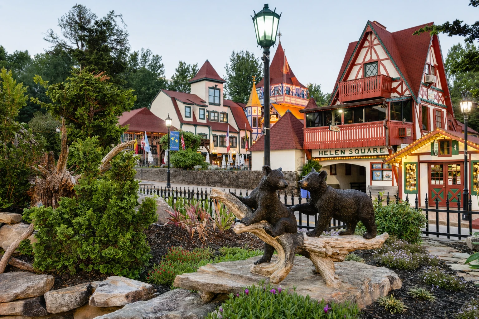
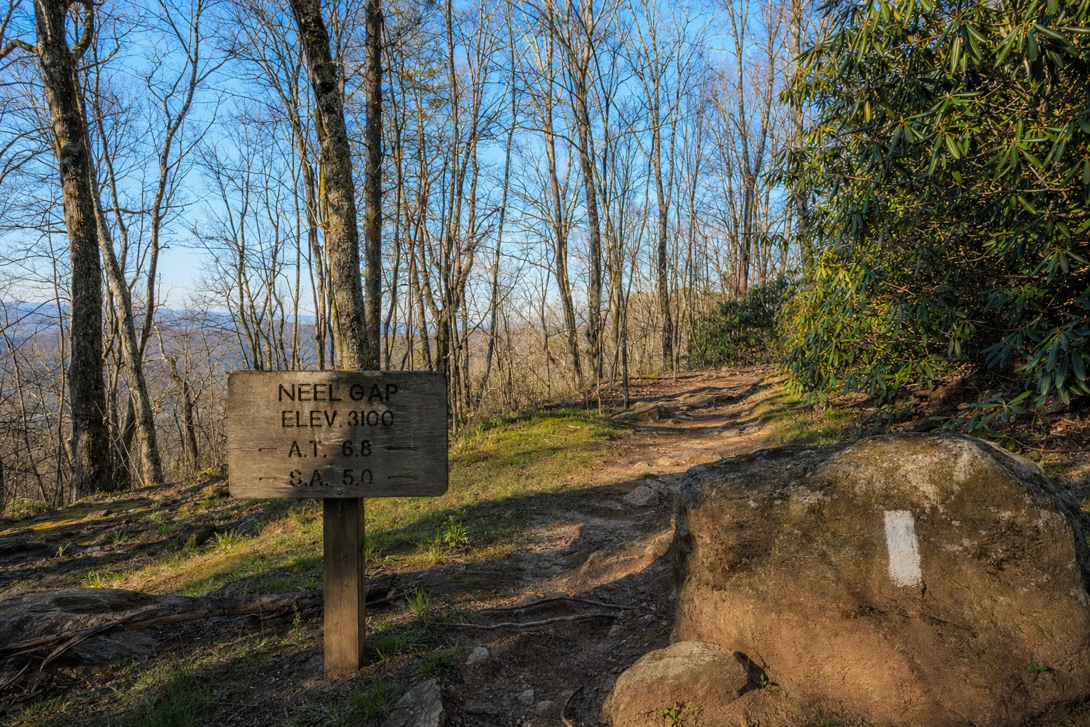
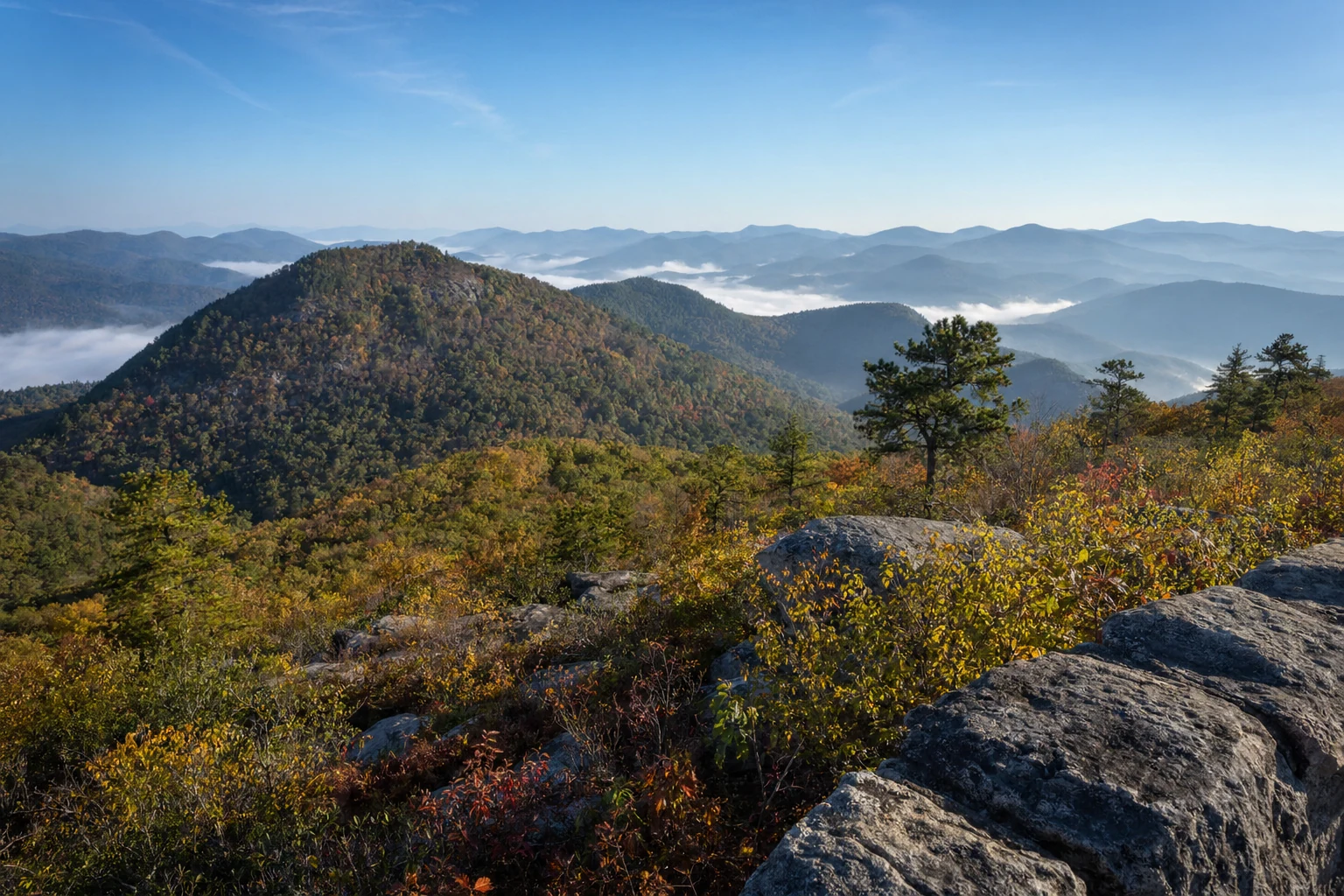
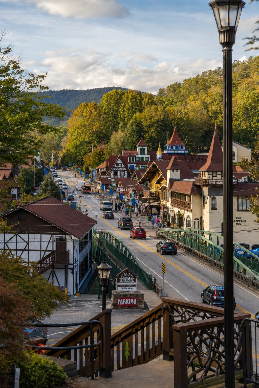
Related Imagery from Around Helen