The Appalachian Trail in Georgia
From Springer Mountain to the Carolina border - 78 miles of America's most famous footpath through the Blue Ridge
The Appalachian Trail is arguably the most famous long-distance hiking path in the world - 2,190 miles of continuous footpath stretching from Springer Mountain in Georgia to Mount Katahdin in Maine. The Georgia section covers approximately 78 miles through the heart of the Blue Ridge, and some of the trail's most accessible and spectacular segments lie within easy reach of Helen. For visitors to the Helen area, the AT offers everything from a casual afternoon walk at a mountain gap to a strenuous summit climb that will test your lungs and reward your eyes with views that stretch to the horizon.
The vision for the Appalachian Trail originated with Benton MacKaye, a regional planner and conservationist who proposed the idea in 1921 as a continuous footpath along the ridgeline of the Appalachian Mountains. The trail was largely completed by volunteer trail clubs during the 1930s, with significant infrastructure built by the Civilian Conservation Corps - including the iconic stone building at Neel Gap that still stands today. Springer Mountain was designated as the southern terminus in 1958, replacing the original terminus at Mount Oglethorpe, and every year thousands of hikers begin their northbound journey from that modest summit plaque deep in the Chattahoochee National Forest.
Springer Mountain & the Approach Trail
Where thousands of journeys begin
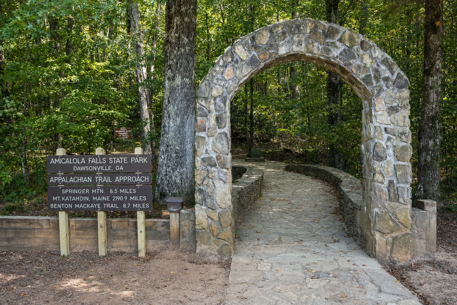
Springer Mountain (3,782 feet) is the spiritual starting point for northbound AT thru-hikers, marked by a bronze plaque set into the summit rock. The mountain lies approximately 55 miles from Helen - about one hour and twenty minutes by car - and can be reached either by a forest road to the nearby USFS parking area or by the more scenic 8.8-mile Approach Trail from Amicalola Falls State Park. The Approach Trail is a challenging hike in its own right, gaining over 2,000 feet of elevation as it climbs from the park to the AT's official start.
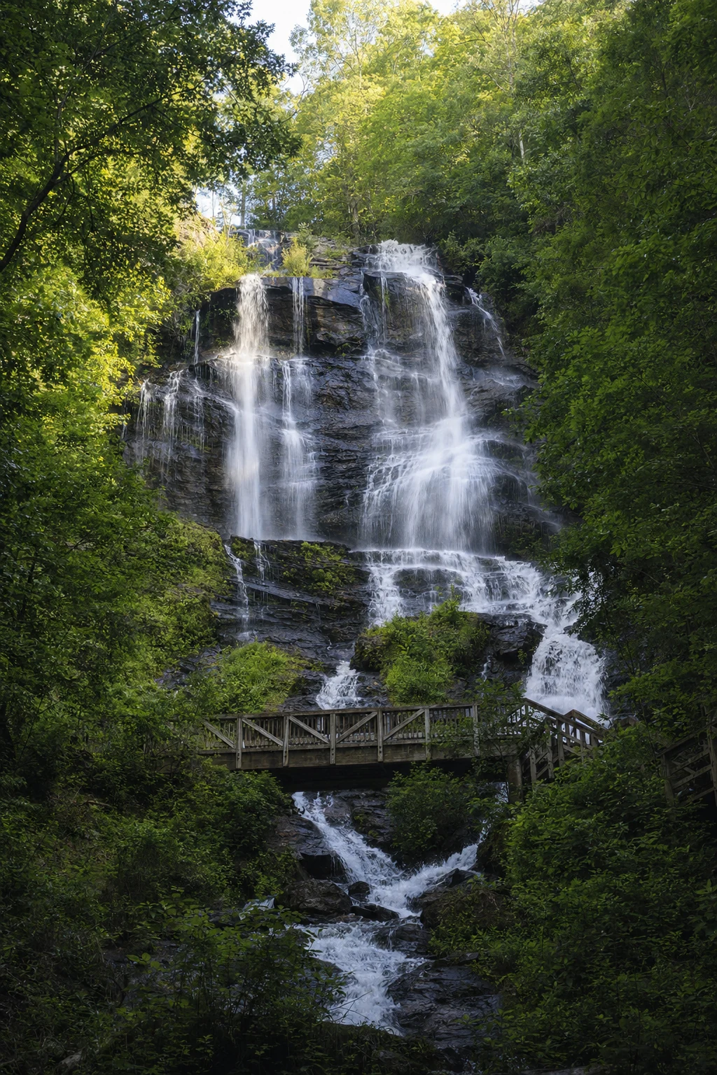
Amicalola Falls State Park, the starting point for the Approach Trail, is home to the tallest cascading waterfall in the Southeast at 729 feet. The park has excellent visitor facilities, a lodge, and the remarkable Len Foote Hike Inn - a backcountry lodge accessible only on foot via a 5-mile trail from the park. The Hike Inn offers comfortable accommodations, family-style meals, and an unforgettable experience of staying overnight in the mountain wilderness without carrying a full backpack. Reservations are required and fill up well in advance, particularly during peak foliage season.
Blood Mountain
The highest point on the AT in Georgia
Blood Mountain stands at 4,458 feet - the highest point the Appalachian Trail reaches in Georgia and one of the most popular summit hikes in the state. The mountain is named, according to Cherokee oral tradition, for a great battle fought between the Cherokee and Creek peoples on its slopes, and the name suits the mountain's dramatic character. The summit is crowned by a stone shelter built by the CCC in the 1930s, one of the oldest structures on the entire AT, and the views from the exposed rock outcroppings are among the finest in the Blue Ridge Mountains.
The most popular route to the summit starts from Neel Gap and climbs 2.2 miles with approximately 1,500 feet of elevation gain - a strenuous but manageable day hike that takes most people three to four hours round trip. The trail passes through a dense forest of oaks, mountain laurel, and rhododendron before emerging onto the exposed summit with panoramic views in all directions. On clear days, you can see the Piedmont to the south and wave after wave of Blue Ridge ridgelines stretching north toward Tennessee and the Carolinas. Fall foliage season turns the mountain into a riot of crimson, gold, and amber that pulls hikers in from across the Southeast.
Neel Gap & Mountain Crossings
The only place the AT passes through a building
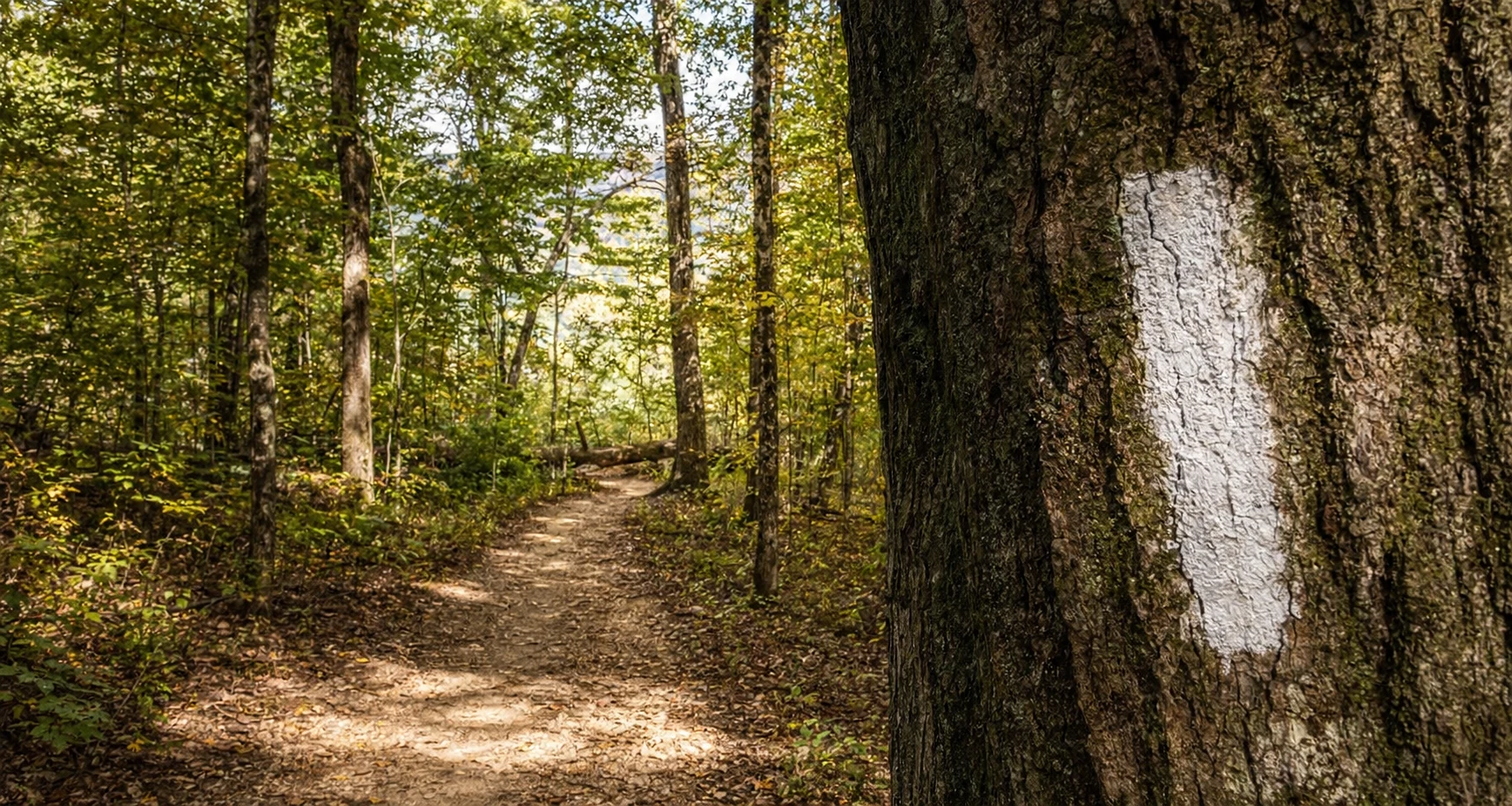
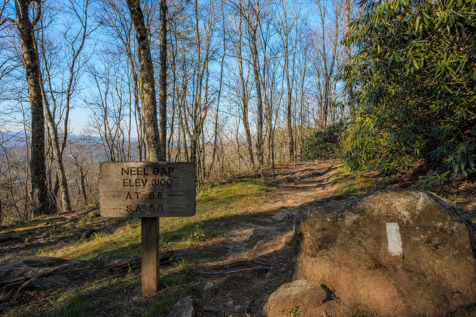
Neel Gap, at approximately 3,125 feet on US-19/129, is one of the most storied locations on the entire Appalachian Trail. Here, the white-blazed footpath passes directly through the stone breezeway of a building constructed by the Civilian Conservation Corps in the 1930s - the only place along the trail's 2,190-mile length where it passes through a man-made structure. The building houses Mountain Crossings, an outfitter and hiker hostel that has been serving the AT community for decades. Each spring, the store becomes a vital resupply and gear-shakedown stop for northbound thru-hikers, many of whom are carrying too much weight and too many fears after their first days on the trail.
Outside Mountain Crossings, a tree is festooned with dozens of hiking boots - the famous boot toss tradition. These boots were left by hikers who decided to end their thru-hike attempt at Neel Gap, hanging their boots as a symbol of their journey. The sight is both funny and a little sad, because every pair of boots up there tells a story about somebody's dream and their decision to let it go. Neel Gap is just 15 miles from Helen - roughly 25 minutes by car - making it the most accessible AT experience for visitors to the area. For a detailed guide to this iconic location, see our Neel Gap and Mountain Crossings page, which covers the history, hiking options, and trail outfitting services available. Even if you have no intention of hiking, the gap is worth a stop to browse the outfitter, watch thru-hikers pass through, and absorb the atmosphere of one of America's great trail landmarks.
AT Crossings Near Helen
Tesnatee Gap, Hogpen Gap, and the Russell Scenic Highway
The Appalachian Trail crosses the Russell Scenic Highway (GA-348) at two points that are easily accessible from Helen - Tesnatee Gap and Hogpen Gap, both at approximately 3,500 feet of elevation. These crossings provide convenient trailhead access for day hikers who want to walk a section of the AT without the long drive to Springer Mountain. From Hogpen Gap, you can hike north toward Cowrock Mountain for ridge-top views, or south toward Neel Gap through a beautiful stretch of high-elevation forest. The Russell Scenic Highway itself is one of the most spectacular drives in north Georgia, winding through the mountains between Helen and Blairsville with views that rival any road in the southern Appalachians.
Tray Mountain, farther north along the AT, rises to 4,430 feet and hosts the highest trail shelter in Georgia. The shelter sits in a remote, high-elevation landscape of wind-stunted oaks and exposed rock, and the views from the summit ridge are expansive and wild. Reaching Tray Mountain requires a longer commitment - either a strenuous day hike from Indian Grave Gap or an overnight backpacking trip - but for experienced hikers, it is one of the finest summit experiences on the Georgia AT. The Brasstown Bald summit road is also nearby, offering Georgia's highest point without the trail miles.
Visitor's Perspective
Practical tips for experiencing the AT from Helen
For a first taste of the Appalachian Trail, drive to Neel Gap and hike the 2.2-mile climb to Blood Mountain. Start early - by 8:00 AM if possible - to avoid afternoon crowds and weather. Bring at least two liters of water per person, snacks, and a rain layer regardless of the forecast. The summit is exposed and weather can change rapidly at 4,458 feet. Trekking poles make a significant difference on the steep, rocky descent. If Blood Mountain feels too ambitious, simply walk the AT in either direction from Neel Gap for a few miles to experience the trail through beautiful high-elevation forest.
March through June is bear season in the Georgia mountains, and hikers on the AT should carry food in bear-resistant containers or hang bear bags. The bears in this area are active and accustomed to human presence. Keep a clean camp, store food properly, and never approach or feed wildlife. For the most pleasant hiking conditions, April through May and October through November are ideal - the spring wildflowers are extraordinary and the fall foliage turns the trail into a golden corridor. If you are looking for a less strenuous but equally rewarding summit experience, Mount Yonah near Helen offers a challenging but shorter hike with exceptional views.
More to Explore
Trails, peaks, and mountain adventures near the AT
Georgia's highest peak at 4,784 feet - near the AT corridor
Lakeside camping and trails near the AT and Blood Mountain
A strenuous summit hike close to Helen with granite cliff views
The ancient range the AT follows across Georgia
Peak color transforms the AT into a golden corridor
AT shelters, backcountry camping, and nearby campgrounds
Related Imagery from Around Helen