Comprehensive Hydrology and Ecology of the Upper Chattahoochee Basin: Helen, Georgia
Your guide to comprehensive hydrology and ecology of the upper chattahoochee basin: helen, georgia in Helen, Georgia and the Blue Ridge Mountains
Executive Summary
Helen sits at the headwaters of the Chattahoochee River, and the creeks and streams in this area are a big part of what makes the region special. The Soque River, Dukes Creek, Smith Creek, and several smaller streams all feed into the Chattahoochee within a few miles of town. These are not just recreational waterways for fishing and paddling. They are also home to threatened species like the Eastern Hellbender (Cryptobranchus alleganiensis), a giant salamander that is a strong indicator of water quality, and the Shoal Bass. The Georgia DNR Wildlife Resources Division monitors these populations closely.
Key Findings:
Headwaters Significance: The Chattahoochee River originates at Jacks Knob in the Blue Ridge Mountains, flowing south through the Chattahoochee National Forest before entering the Nacoochee Valley.
Ecological Sensitivity: The region supports high biodiversity, including the Eastern Hellbender, a giant salamander that serves as a bio-indicator for water quality. Siltation and habitat disturbance remain primary threats to these populations.
Recreational Dichotomy: Usage is split between high-volume tourism (tubing in downtown Helen) and low-impact conservation activities (catch-and-release fly fishing in Smithgall Woods and the Upper Chattahoochee Blue Water Trail).
Management Strategies: The region employs specific regulatory frameworks, such as "Delayed Harvest" sections and "Trophy Trout" designations, supported by organizations like Trout Unlimited Georgia, to balance heavy recreational pressure with ecological preservation.
1. Geography and Hydrology of the Chattahoochee Headwaters
The Upper Chattahoochee River Basin is geologically situated within the Blue Ridge and Piedmont physiographic provinces. The river's journey begins in the extreme southeastern corner of Union County, Georgia, before carving through White County and the Nacoochee Valley.
1.1 Source and Upper Course
The Chattahoochee River rises from a small spring in Jacks Gap at the southeastern base of Jacks Knob, a peak in the southern Blue Ridge Mountains. This location is near the Appalachian Trail and lies within the protected boundaries of the Chattahoochee National Forest. From this high-elevation origin (approximately 3,500 feet), the river flows southwestward as a small, swift, cold-water trout stream.
The upper watershed is characterized by steep gradients and a dense canopy of hardwoods and hemlocks, which maintain the cool water temperatures necessary for salmonid species (trout) and oxygen-sensitive amphibians. As the river descends from the mountains, it enters the Nacoochee Valley, an area of significant archaeological and geological importance.
1.2 The Nacoochee Valley Watershed
The Nacoochee Valley serves as a primary catchment area where the rugged mountain terrain transitions into a fertile alluvial valley.
Geological Formation: The valley is bounded to the north by the Blue Ridge Mountains and to the south by ancient volcanic structures, including Yonah Mountain and Sal Mountain. The valley floor consists of rich alluvial soils deposited over millennia by the Chattahoochee and its tributaries, principally Sautee and Dukes Creeks.
Cultural Hydrology: The valley has been continuously occupied for over 10,000 years. It was the site of the Mississippian culture settlement associated with the Nacoochee Mound (1350–1600 CE) and later Cherokee settlements. The hydrology of the valley was significantly altered during the 19th century by the Georgia Gold Rush. Hydraulic mining practices in the 1830s and subsequent timber harvesting devastated the landscape, washing away mountainsides and altering stream channels. Today, the watershed is largely reclaimed, though evidence of past sedimentation remains.
2. Major Tributaries and Creek Systems
The ecological health and recreational value of the Helen area are driven by several key tributaries that feed the Upper Chattahoochee. Each possesses unique characteristics and management regulations.
2.1 Dukes Creek
Dukes Creek is arguably the most biologically and historically significant tributary in the immediate Helen area. It rises near State Route 348 at the confluence of Bear Den Creek and Little Low Gap Branch.
Gold Rush History: Dukes Creek is the site of the initial discovery of gold in 1828, which sparked the Georgia Gold Rush. This history of extraction led to severe environmental degradation in the 19th and early 20th centuries.
Smithgall Woods Conservation Area: Today, a major section of Dukes Creek flows through Smithgall Woods State Park. This area is managed as a "Trophy Trout Stream" and is a model for stream restoration. The state acquired the land in 1994 from conservationist Charles Smithgall, who spent decades restoring the creek from the impacts of hydraulic mining and logging.
Hydrology: The creek is known for its crystal-clear water and cascading waterfalls, specifically Dukes Creek Falls (a 150-foot drop) located at the confluence with Davis Creek.
2.2 The Soque River
The Soque River is a unique tributary that flows entirely within Habersham County before joining the Chattahoochee. It is distinct due to its land ownership patterns.
Private vs. Public Status: The vast majority of the Soque River flows through private land. Landowners manage these sections intensively for trophy trout, often feeding the fish to encourage growth ("pellet pigs"), resulting in some of the largest trout in the southeastern United States.
Geography: The river runs approximately 30 miles from the high ridges of the Appalachians down to the Chattahoochee. It is fed by smaller tributaries like Raper Creek.
2.3 Smith Creek
Smith Creek is the primary waterway flowing through Unicoi State Park. It is formed by the confluence of Curtis and York Creeks, which tumble down the Blue Ridge escarpment to form the twin cascades of Anna Ruby Falls.
Course: After the falls, the creek flows into Unicoi Lake (a 44-acre reservoir) and then continues downstream to join the Chattahoochee in Helen.
Management: The section below Unicoi Lake is managed under "Delayed Harvest" regulations during winter months to sustain angling pressure.
2.4 Sautee Creek and Other Tributaries
Sautee Creek: This creek drains the Sautee Valley and enters the Chattahoochee near the junction of Highway 17 and Highway 255. It serves as a primary put-in point for the Upper Chattahoochee River Blue Water Trail.
Jasas, Low Gap, and Spoilcane Creeks: These smaller tributaries are stocked seasonally and provide critical cold-water inputs to the main river stem.
3. Aquatic Ecology and Regional Ecosystems
The waterways of the Helen area are critical components of the southern Appalachian ecosystem. The health of these streams is often measured by the presence of specific indicator species.
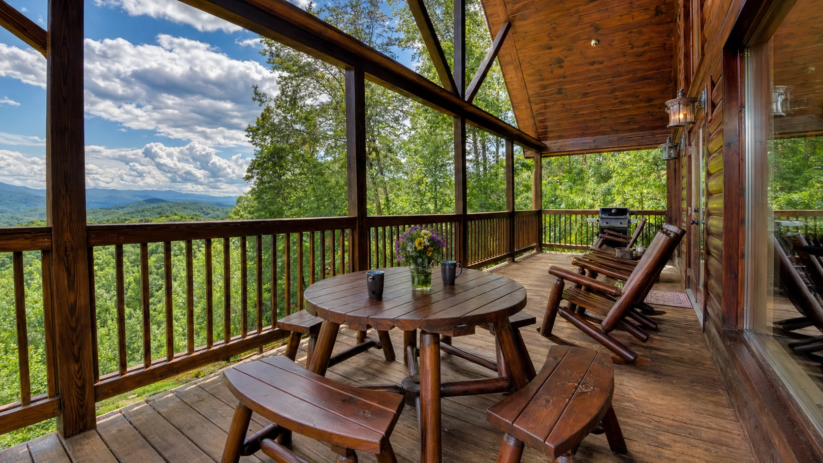
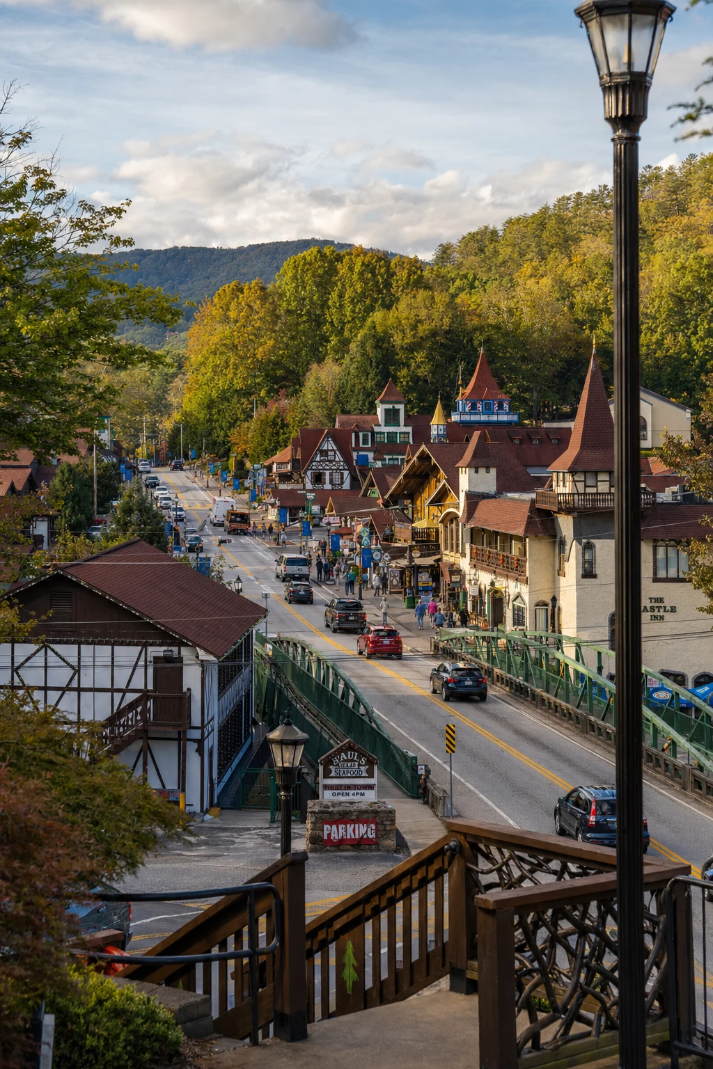
Related Imagery from Around Helen