The Blue Ridge Mountains
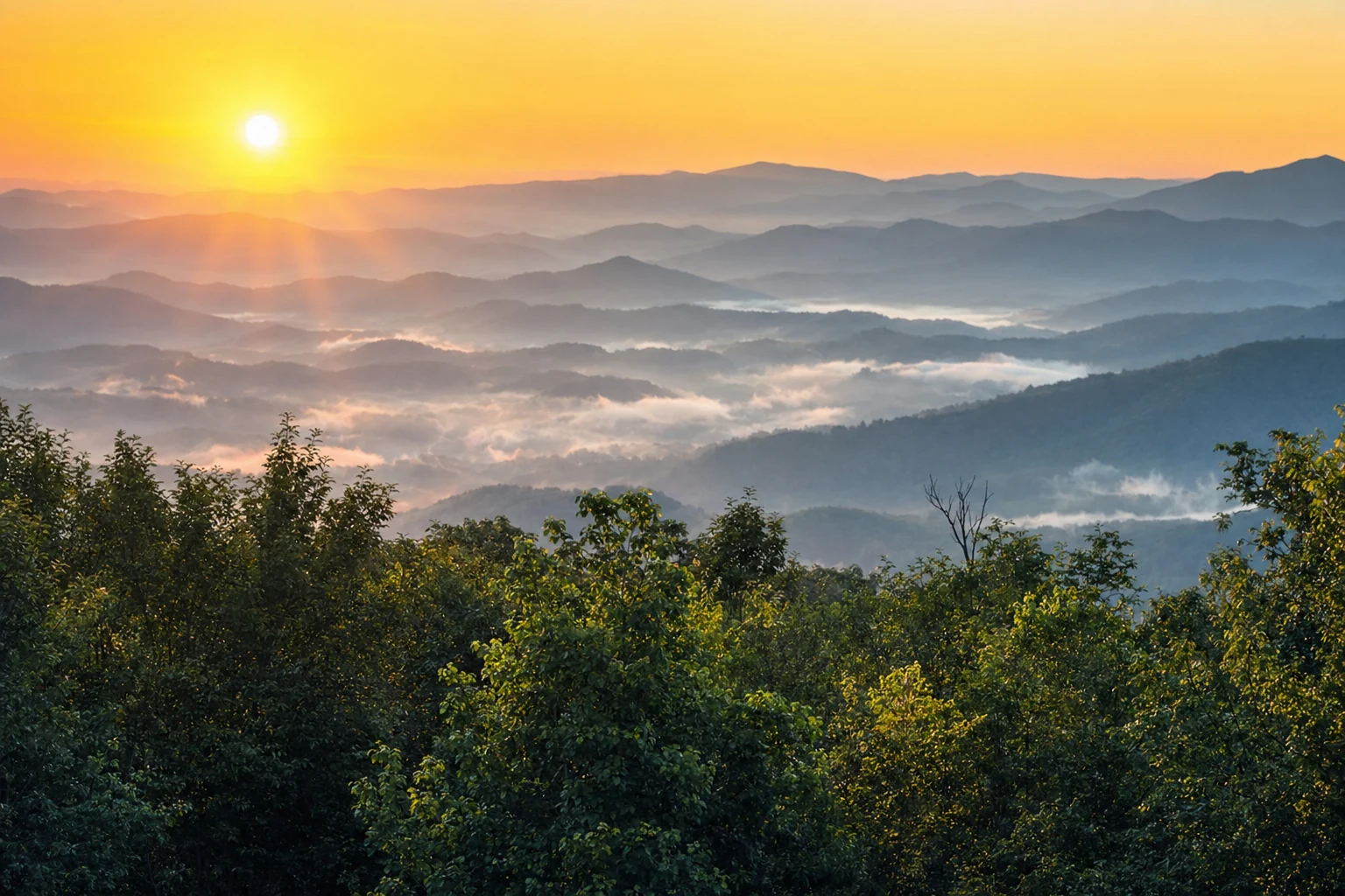
Ridge after ridge around Helen, from a 1,440-foot valley floor to Georgia's 4,784-foot summit
The short answer
The peaks you can see and reach
Helen sits in a bowl of ridges, and a few high points are easy to reach by car. Higher places turn color and cool off first, so they're also where to go when the valley is too warm or too green.
| Place | Elevation | From Helen | Notes |
|---|---|---|---|
| Brasstown Bald | 4,784 ft | About 40 min | Georgia's highest point. A 0.6-mile paved summit trail, very steep. $10 per adult 16+, shuttle included. |
| Hogpen Gap (GA-348) | 3,461 ft | About 25 min | The Appalachian Trail crosses the road here, with parking for day hikers. |
| Mount Yonah | 3,166 ft | Near Helen and Cleveland | A granite mountain in White County. Wikipedia describes a signed trail of about 2.3 miles that climbs roughly 1,500 feet. See the Yonah trail guide. |
| Unicoi Gap (GA-17/75) | 2,940 ft | On the drive north | Where the highway crosses the Appalachian Trail on the way to Hiawassee. |
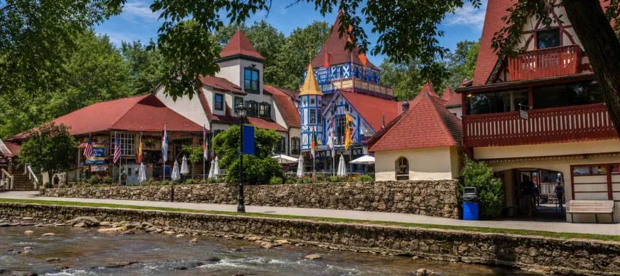
| Downtown Helen | About 1,440 ft | - | The valley floor, along the Chattahoochee River. |
Gap elevations come from the Georgia Appalachian Trail Club. The fall color guide covers the best drives and overlooks in detail.
Old rock, steep country
The Blue Ridge here is old. The Georgia Encyclopedia says the mountain-building that made them began more than 500 million years ago, with folding, faulting and a continental collision about 300 million years back. The common rocks are gneiss, quartzite and schist. Erosion has worn them to the rugged ridges and steep-sided coves you drive through today.
That steepness is why the area has so many waterfalls: creeks drop quickly off the ridges. Nearly 90 percent of the Georgia Blue Ridge is forest, and the Chattahoochee National Forest holds most of it.
Weather and seasons
Mountain weather changes fast, and elevation matters. The Georgia Encyclopedia says summer temperatures run 6 to 12 degrees cooler than the nearby lowlands, and higher elevations get more than 80 inches of rain a year. These are the NOAA 1991-2020 normals for Helen itself:
| Month | Avg high | Avg low | Rain |
|---|---|---|---|
| January | 49F | 29F | 6.8 in |
| April | 70F | 43F | 5.8 in |
| July | 86F | 65F | 5.6 in |
| October | 70F | 46F | 4.9 in |
Spring wildflowers and fall color are the two big seasons. Fall peak is usually around the end of October, a little earlier up high. See the spring wildflower guide and the fall foliage guide.
Plants and wildlife
The Georgia Encyclopedia calls the Georgia Blue Ridge "one of the world's most botanically rich mixtures of temperate climate plants." Rich cove forests sit in the sheltered valleys, with other forest types higher up. Black bears, wild turkeys and grouse live here, and the range sits along the Appalachian migratory flyway. Our wildlife guide and bear safety page go deeper.
Scenic drives
Russell-Brasstown Scenic Byway
A 40-mile loop on GA-17/75, GA-180 and GA-348, designated a National Scenic Byway in 2000. See the Forest Service page.
GA-348 to Hogpen Gap
The steep, curvy stretch up to the Appalachian Trail crossing at 3,461 feet. Pull-offs fill on fall weekends.
GA-17/75 over Unicoi Gap
The road north toward Hiawassee crosses the mountains at 2,940 feet.
Wolf Pen Gap Road (GA-180)
Georgia State Parks recommends it for fall scenery, with high-country views and less traffic than the main highways.
Related Imagery from Around Helen